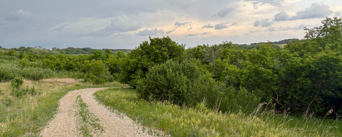
Looking for some of the best Saskatchewan ATV trails? While the province may be best known for its open prairie, head into the parklands and boreal forest, and you will find an impressive network of ATV trails, logging roads, resource roads and rugged backroads. Many northern riding areas use Crown land and established snowmobile corridors, while private land becomes a bigger factor in the south.

From long-distance trail networks around Big River and Hudson Bay to designated provincial park routes and the huge Nisbet Forest system, Saskatchewan offers riding for everything from relaxed day trips to muddy, multi-day backcountry adventures.
Use the new Saskatchewan Backroad Mapbook for detailed maps and adventure listings and pair it with the Backroad Maps App & Web Map to explore routes, nearby POIs and map layers before you head out.
Before You Ride: Saskatchewan ATV Tips
- Confirm that ATV use is permitted on the road, trail or land you plan to ride.
- Carry extra fuel, basic recovery gear and emergency supplies, especially in remote areas.
- Check current provincial park, municipal and local trail rules before heading out.
- During wildfire season, check for fire bans, area closures and any ATV/UTV restrictions.
For designated and club trail information, visit the Saskatchewan All Terrain Vehicle Association (SATVA). For provincial park-specific ATV rules, see the Saskatchewan Parks ATV Trails page, and check the fire ban and wildfire maps before heading into the backcountry.

Big River ATV Trails
Big River is one of the province’s standout destinations for ATV riding in Saskatchewan, with more than 380 km (236 miles) of trails and riding for a wide range of skill levels. Routes range from old logging and exploration roads to muddy single-track, open meadows and summer-use snowmobile corridors. Around 40 lakes lie within an hour’s ride of town, making it easy to combine a trail day with fishing or camping.
One highlight is the Timberlost area, where a roughly 58 km (36 mile) loop passes five lakes. Riders can also tackle the approximately 45 km (28 mile) Chute Lake Trail north of Big River. For a multi-day Saskatchewan ATV adventure, this is one of the strongest all-around bases in the province.

Saskatchewan Backroad Mapbook - map page 79
Hudson Bay Area
The Hudson Bay area is one of Saskatchewan’s best-known ATV hubs, with hundreds of kilometres of abandoned logging roads and trails spreading through the Porcupine and Pasquia provincial forests.
Highlights include the McBride Lake area in Porcupine Hills Provincial Park, routes leading deep into the Northern Provincial Forest off Highway 9 north of town, and the Porcupine Hills east of town, where several lakes offer camping opportunities. Options range from easy family riding to challenging expert terrain.
Many routes overlap the region’s extensive snowmobile network, and the McBride Lake and Porcupine Hills areas offer excellent opportunities to combine ATVing with camping and fishing. Because some trails cross private property, always confirm access and obtain permission before riding.
Nisbet Forest Trails
Just south of Prince Albert, Nisbet Provincial Forest offers more than 470 km (292 miles) of mapped riding. West of Highway 11, riders will find a mix of gravel roads, four-wheel drive roads and quad routes, while the east side offers scenic riding near the South Saskatchewan River.
A standout option is the roughly 66 km (41 mile) Nisbet Forest Loop, which circles much of the western trail network and connects with numerous side routes. Conditions can range from dry gravel to serious spring mud, and you can access it from Macdowall and several surrounding roads. Check current wildfire, forestry and trail conditions before riding.

Fort a La Corne Trails
Fort a La Corne Forest, west of Highway 6 and north of Gronlid, offers approximately 325 km (200 miles) of multi-use trails built largely on old roads. South of the North Saskatchewan River, the network is more condensed and provides numerous loop options, while the northern section features longer out-and-back rides toward the river and connecting range roads.
Sandy roads and dirt trails make many routes approachable for newer riders when conditions are dry, but mud can quickly increase the difficulty after rain. More experienced riders can branch onto the rougher side trails for an added challenge.
Little Bear Lake Area
North of Narrow Hills Provincial Park, Little Bear Lake offers more than 215 km (134 miles) of ATV trails through classic boreal forest. Routes lead toward Big Sandy Lake, East Trout Lake, White Gull Lake and the greater Narrow Hills area, creating plenty of options for longer days in the backcountry.
The trails are generally wide but can be muddy, with several good brook trout lakes along the way. LBL All Terrain Ventures maintains the system, and Saskatchewan All Terrain Vehicle Association (SATVA) provides trail information and downloadable GPS and KML files for the designated network.

Narrow Hills Provincial Park
Narrow Hills Provincial Park combines glacially shaped hills, dense boreal forest and remote lakes with designated ATV riding. The Saskatchewan Backroad Mapbook identifies roughly 66 km (41 miles) of ATV-accessible routes within a much larger trail network, with elevation gains of up to about 200 metres (655 feet).
Trails outside the park connect toward Love, Little Bear Lake, East Trout Lake and White Gull Lake. Narrow Hills Provincial Park reopened for the 2026 season following the 2025 wildfires, although recovery work continues and some areas may still be affected. Check current park and trail conditions before heading out.

Saskatchewan Backroad Mapbook - map page 82
Great Blue Heron Provincial Park
North of Prince Albert, Great Blue Heron Provincial Park offers designated ATV riding through the Emma and Anglin lake country. The main route follows Highway 952, known locally as Poacher’s Road, with additional connections to Crown land, municipal roads and trails beyond the park boundary.
ATV use is permitted on designated trails from June 15 to October 31. A no-charge trail permit is required. Check the park office for current maps, seasonal dates and permit requirements before riding.
Moose Mountain Provincial Park
Moose Mountain Provincial Park provides a distinctly different Saskatchewan quad-riding experience in the province’s southeast, where forested hills and lakes rise above the surrounding prairie. A designated seasonal ATV network connects Centre Road with routes such as Bennett Lake Trail and Horse Lake Trail, creating a scenic loop through the park.
ATV use is limited to designated trails from June 15 to Labour Day. A no-charge trail permit is required, and riders should check current trail conditions before heading out.

Moose Mountain Provincial Park
Plan Your Saskatchewan ATV Adventure
These eight riding areas only scratch the surface. Across Saskatchewan, Crown land, forestry roads, snowmobile corridors and designated trail systems create countless ways to leave the pavement behind. The key is knowing where motorized access is permitted, respecting private property and checking conditions before every ride.
Plan your next Saskatchewan ATV adventure with the Saskatchewan Backroad Mapbook and Backroad Maps App & Web Map, with detailed backroads, trails, recreation sites and offline mapping to help you explore with confidence.

Before heading out, confirm current trail access, local bylaws, provincial park restrictions and wildfire conditions. Bring enough fuel and recovery gear for the route, tell someone where you are going and leave the trails in the same condition you found them.
Find your map, load up the machine and discover where Saskatchewan’s backroads can take you.