Maps for Northern Canada

Maps for Northern Canada

Venture into Canada’s true north with Backroad Maps. Our Northern Canada maps cover Yukon, Northwest Territories, and Nunavut in unmatched detail, guiding you through the country’s most remote wilderness. Whether you’re planning an epic road trip, a backcountry canoe route, or a northern lights expedition, these maps deliver the accuracy and coverage you need.

View as

  • Find your Maps for Northern Canada

    Northern trip planning can include Whitehorse, Dawson City and the Klondike in Yukon, or Yellowknife, Hay River and Inuvik in the Northwest Territories. Nunavut destinations such as Iqaluit require a different approach to travel and map selection. These names describe potential trip destinations; confirm which territories and communities the actual products cover.

    Match the format and scale to your plans, whether you’re connecting destinations on a road trip or researching a particular area. Confirm coverage before choosing a map for Yukon, the Northwest Territories or Nunavut. For routes that pass through western provinces, browse Northern BC and Northern Alberta as well.

  • Choose the right map format

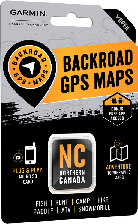
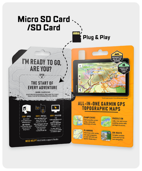
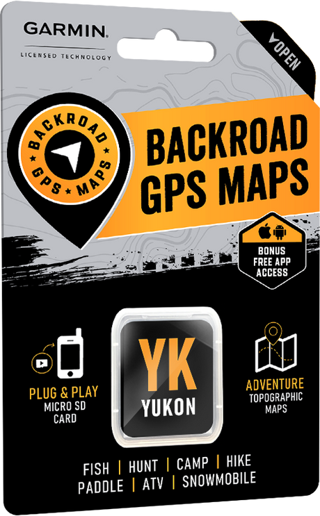
    Garmin GPS Maps: Choose Backroad GPS Maps for mapping on a compatible Garmin device. They suit advanced users and professional applications where a dedicated GPS unit is part of the setup. Check device compatibility and geographic coverage before buying.

    BRMB Maps app: Explore Northern Canada with a user-friendly digital option that covers all of Canada. Use the app to plan and explore across regions without choosing a separate physical map for each destination.

    Choosing between digital formats? Compare the BRMB Maps app and Backroad GPS Maps to find the option that fits your device and how you explore.

Featured stories

Showing articles tagged “Yukon”

View all articles
No articles currently match this tag.

Compare /4

Loading...