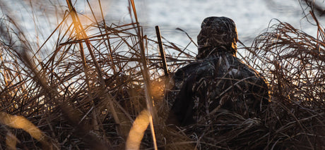
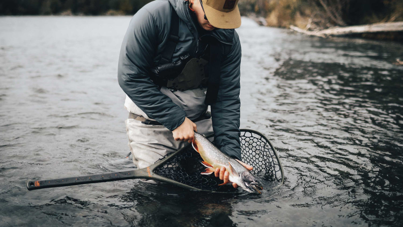
Fishing Hot Spots

Fishing Hot Spots


Looking for the best fishing spots in Canada? Backroad Maps gives you all the information you need to find and access top fishing destinations across the country. Whether you're fishing in pristine lakes, rivers, or ocean shores, our maps and digital tools help you plan and navigate your perfect fishing adventure.

  • Fishing Holes & Species Info: Easily locate fishing holes with detailed species and stocking information, helping you know exactly where to cast your line.
  • Boat Launches & Access Points: Find boat launches and other access points, so you can get to your fishing spots with minimal hassle.
  • Fishing Lodges & Resorts: Access information on nearby fishing lodges and resorts to make your stay convenient and comfortable.

Choose Your Map Format

  • BRMB Maps App: Get detailed fishing route information, access points, and offline capabilities, so you can fish confidently even when off the grid.
  • GPS Maps for Garmin Devices: For handheld GPS users, our Garmin-compatible maps offer the same detailed fishing locations and access routes, perfect for remote areas.
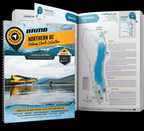
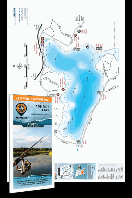
  • Fishing Mapbooks (BC Only): Comprehensive guidebooks for detailed planning, including lake bathymetry (depht) charts and descriptions of each fishing holes, with species, and access information.
  • Folded Maps: Waterproof and portable, these maps are perfect for easy access to fishing locations while you're on the water or in the field. The BC Fishing Charts feature bathymetry (depth) charts of the top lakes in the province, while our Park & Destination Maps and TOPO Maps cover the rest of the provinces (excluding Quebec).
  • Wall Maps: High-quality wall maps for planning your fishing adventures, offering a broad overview of fishing locations and access routes across Canada.

    Get ready for your adventures

    • MAP FEATURES

      • 17,500+ labelled fishing hot spots for lakes, streams & oceans across the country
      • Fish species & stocking information labelled on maps
      • Industry-leading road & trail coverage for access to fishing hot spots
      • Clearly marked national and provincial parks, nature reserves, First Nations reserves and more
      • Countless additional lakes, rivers & streams that can be fished
      • Lake and river bathymetry (depth contours) in digital products
      • Water features including dams, hatcheries, boat launches, access points and more
      • Fishing resorts, lodges & outfitters
    • INFORMATION

      Many of the lakes, rivers, streams and ocean fishing hot spots shown on our maps are supplemented with detailed written descriptions compiled by our team of outdoor writers and researchers. These descriptions fill you in with the best times to fish and any other notable details about a particular waterbody.

      We also include tips for fishing in a particular region, and Mapbook users will find handy stocking charts showing you which lakes and streams are supplemented with stocking programs.

    • SAMPLE OF WRITTEN DESCRIPTION:

      Trout Lake (Map 28/A2–E5)
      There are probably about a dozen Trout Lakes scattered about the province. This one is one of the biggest, at 2,874 hectares (7,100 ac) and likely produces the biggest fish with the mighty Gerrard rainbow occasionally tipping the scales in the 9 kg (20 lb) range. It also has a healthy population of bull trout, which can get up to 4 kg (9 lbs). Both species are best caught on a deep troll using a plug or Flatfish in April to May or again in September to October. The lake is also home to smaller populations of burbot, kokanee and whitefish. The best access points are at either the north end from town or the south end of the lake. Portions of the lake are closed for spawning purposes so check the regulations before heading out.