-
 Browse Maps
Looking for another area?
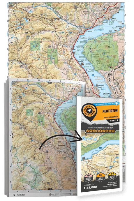
Check out the Backroad TOPO Maps series
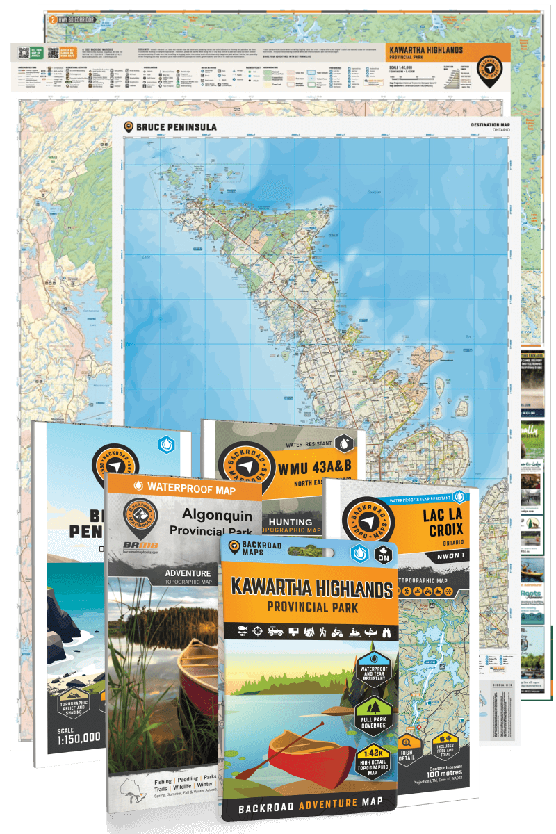
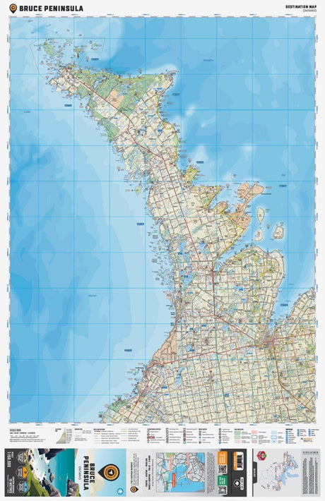
Bruce Peninsula Ontario - Destination Map
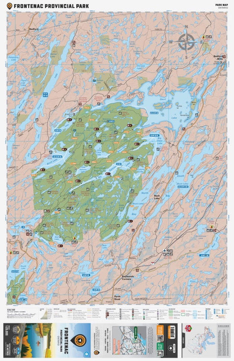
$1995Unit price /UnavailableFrontenac Provincial Park Ontario - Park Map
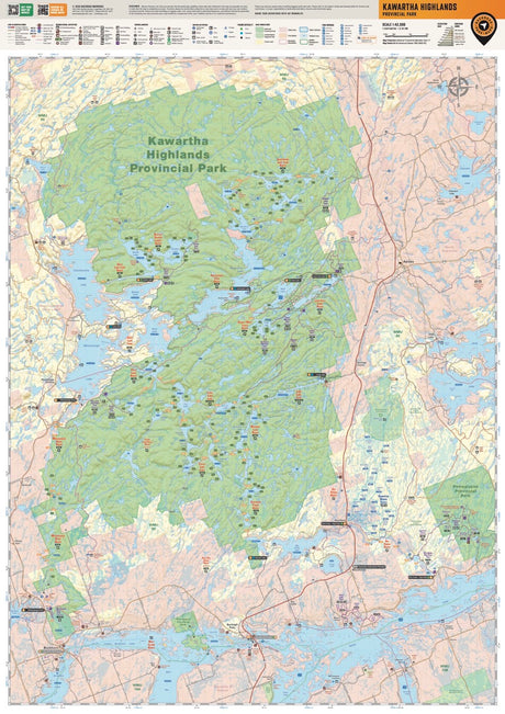
$1995Unit price /UnavailableKawartha Highlands Provincial Park Ontario - Park Map
$2500Unit price /Unavailable-
 Browse Maps
New Hunting Maps
Featuring clearly marked Wildlife Management Units, Zones, and Game Hunting Areas, along with updated information on roads, trails, campsites and more.
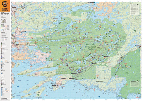
Killarney Provincial Park Ontario - Park Map
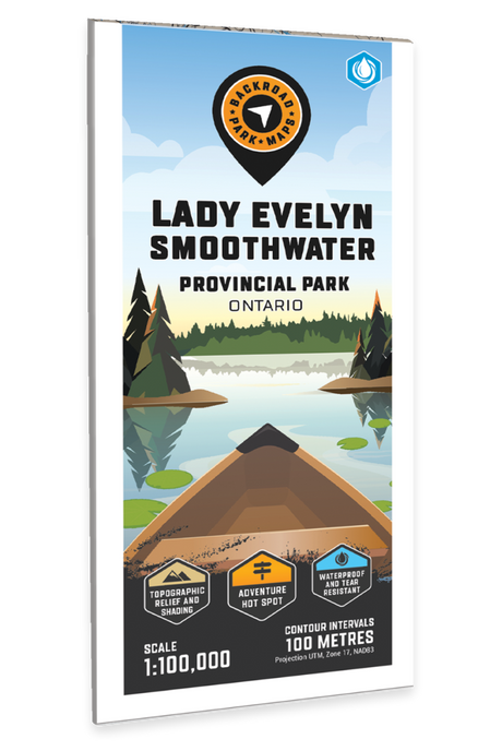
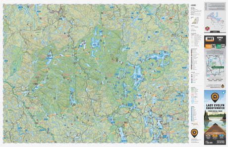
$2500Unit price /UnavailableLady Evelyn Smoothwater Provincial Park Ontario - Park Map
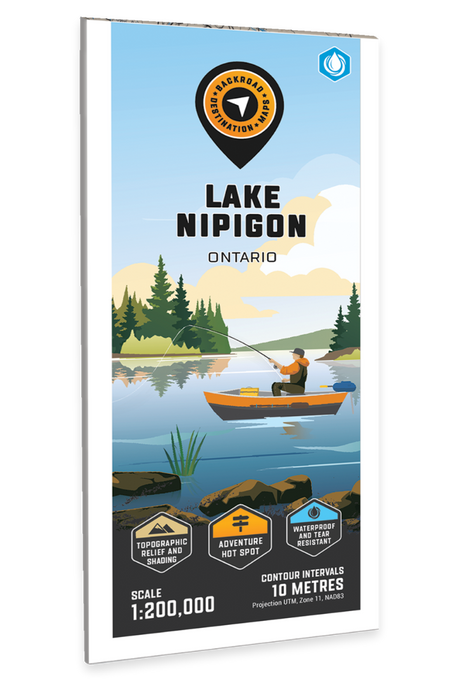
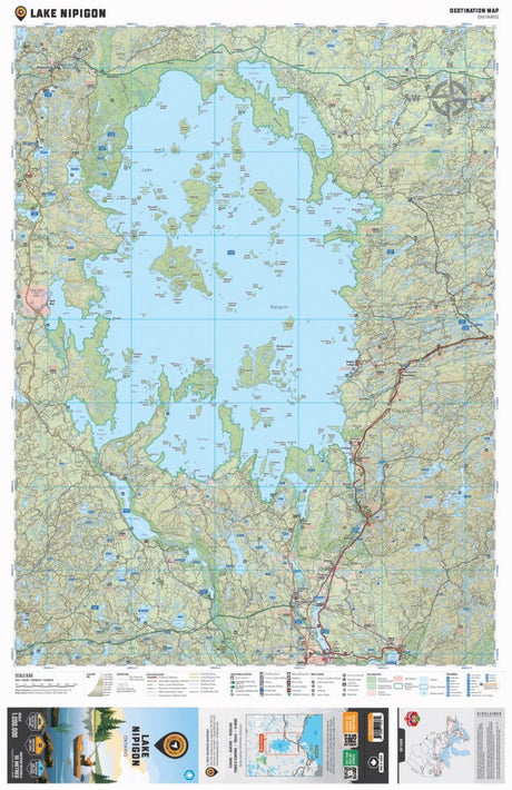
$1995Unit price /UnavailableLake Nipigon Ontario - Destination Map
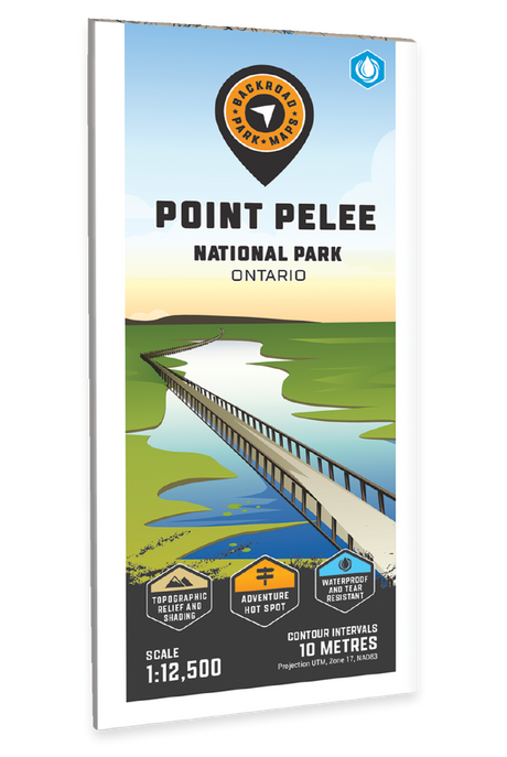
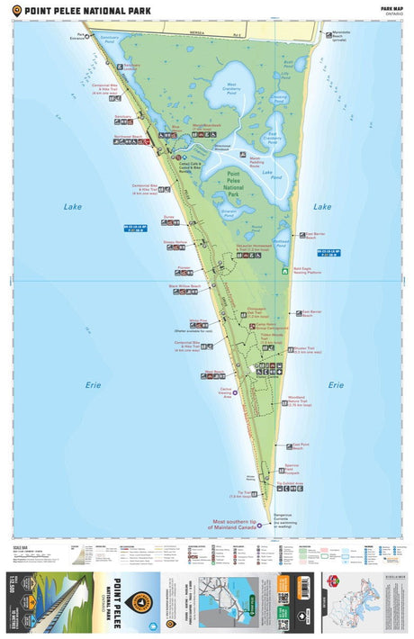
$1995Unit price /UnavailablePoint Pelee National Park Ontario - Park Map
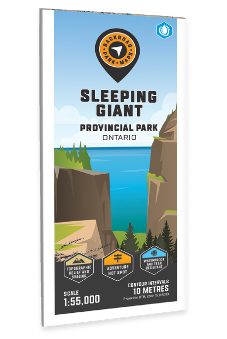
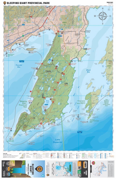
$1999Unit price /UnavailableSleeping Giant Provincial Park Ontario - Park Map
$1995Unit price /Unavailable

