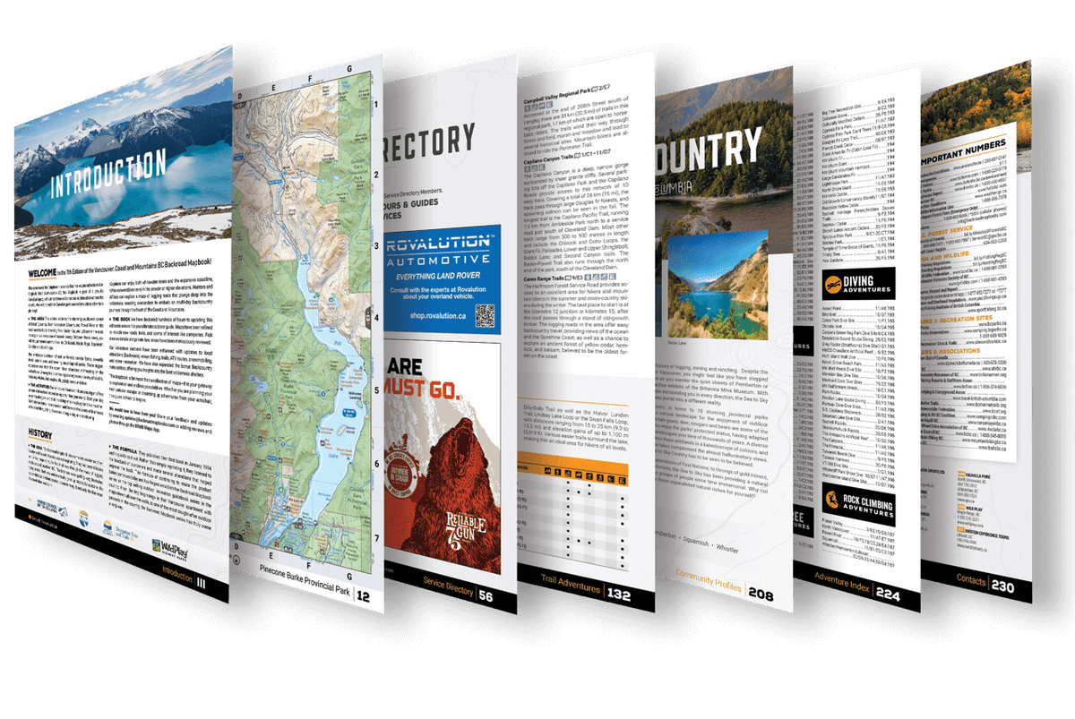
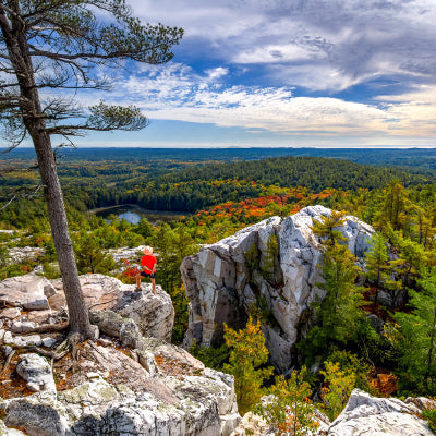
In addition to our industry-leading Maps, our Backroad Mapbooks are packed with descriptions of thousands of Adventure opportunities. From Backroad Attractions and Camping opportunities within Provincial and National Parks to Hiking, Fishing, and Hunting Adventures, the brand-new edition of the Newfoundland and Labrador Backroad Mapbook is the perfect tool for planning your next adventure.
Backroad Adventures
Newfoundland and Labrador is defined as much by its man-made attractions as its natural ones. From remote lighthouses and old fishing villages to waterfalls and expansive viewpoints, our Newfoundland and Labrador Backroad Mapbook guides you to the province's most spectacular destinations. With over 110 detailed descriptions of must-see urban, rural, and backcountry attractions, your biggest challenge will be deciding where to visit first.
Fishing Adventures
With the island of Newfoundland surrounded by water and the rugged eastern coastline of Labrador bordered by the Labrador Sea, there is no shortage of salt-water fishing opportunities in the province. In fact, Newfoundland and Labrador boasts a world-class cod fishery. Countless lakes and rivers are scattered throughout the province, with endless opportunities to fish for species such as northern pike, rainbow trout, and smallmouth bass. Your Newfoundland and Labrador Backroad Mapbook includes fishing information for over 160 lakes and ponds, over 130 rivers and streams, and over 35 different ocean and tidal fishing hot spots with stocked fishing charts and clearly defined fish species.
Hunting Adventures
Newfoundland and Labrador hunters have plenty of options to choose from with big game like black bear, wolf, moose, and woodland caribou, smaller animals like coyote and snowshoe hare, and game birds like ducks and grouse found throughout the province. The hunting section of your Newfoundland and Labrador Backroad Mapbook breaks down all the hunting species and Newfoundland and Labrador Caribou (CMA) and Moose Management Areas (MMA). With over 95 Management Areas that have been expanded and updated, and over 200 contacts for Outfitters throughout the province, it is easy to plan your next hunting adventure.
Paddling Adventures
With water dominating the land and culture of Newfoundland and Labrador, this province is a paddler's paradise. From exciting whitewater river routes to multi-day canoe circuits and ocean routes that hug the rugged coastline, your Newfoundland and Labrador Backroad Mapbook features everything you need to know about exploring the province with a kayak or canoe. The newest edition of the Newfoundland and Labrador Mapbook contains close to 1,000 kilometres of exciting paddling routes, with detailed descriptions including put-in, take-out, difficulty, highlights, and more!
Park Adventures
With over 95 updated listings for provincial, national, and regional parks along with ecological & wilderness areas including new camping areas and private campgrounds, our Newfoundland and Labrador Backroad Mapbook is your number-one source for exploring some of the province's most scenic natural areas. From the famous Gros Morne National Park which is a UNESCO World Heritage Site to the out-of-the-way hidden gems and everything in between, you can find everything you need to know in the latest edition of our Newfoundland and Labrador Mapbook including access, amenities, highlights and more.
Trail Adventures
Newfoundland and Labrador is home to hundreds of trails including the scenic East Coast Trail, Gros Morne National Park, Terra Nova National Park, and hundreds of other trail systems scattered across the province, from trails that hug rustic coastlines to old deactivated logging roads through dense forest and everything in between. With almost 300 detailed trail listings including trailheads, distance, elevation, difficulty, and more, our Newfoundland and Labrador Backroad Mapbook is your go-to resource for exploring this beautiful province.
ATV Adventures
With over 3,200 kilometres of updated and refined ATV & Motorized Trails stretching across the province, we map out the best and most popular places to explore, from the B-36 Peacemaker Plane Crash Trail to the T'Railway Route, which runs east to St. John's over a distance of 885 kilometres (550 miles). From formal ATV trails and long-distance Overland Routes to logging roads and bush trails, our Newfoundland and Labrador Backroad Mapbook will lead you to some of the best places to ATV or OHV in the province.
Snowmobile Adventures
From the Blow Me Down Mountains trail network to the Gaff Topsails Snowmobile Trails, there are over 7,000 kilometres of designated Snowmobile Trails to explore across Newfoundland and Labrador. All the trail systems have been updated and refined, with over 60 trail and riding areas, and 50 new Snowmobile Huts and cabin listings. Designated snowmobile trails are also identified by unique colouring and symbols, making our Newfoundland and Labrador Backroad Mapbook a great companion for any winter adventure.
Wildlife Adventures
From vast mountain ranges to rugged ocean coastline, Newfoundland and Labrador's diverse natural landscapes create habitats for a variety of wild animals, from giant marine mammals like whales and sea lions to woodland caribou, wolves, and a large variety of shorebirds and aquatic birds. Our Newfoundland and Labrador Backroad Mapbook lets you in on the best places to see our furry, scaly, feathered, and feral neighbours, including almost 50 different listings featuring species, best viewing times, and highlights.
Winter Adventures
For a truly unique winter adventure, Newfoundland and Labrador offers a wide range of outdoor activities including cross-country skiing, snowshoeing, ice skating, tobogganing, downhill skiing, snowboarding, fat biking and more! The winter landscapes in this part of Canada are a wonder to see, and we couldn't be more pleased to offer you detailed information for the best places to get out and enjoy over 25 winter specific trail areas, including detailed information for Gros Morne and Terra Nova National Parks.
New BONUS Adventures
The newest edition of the Newfoundland and Labrador Backroad Mapbook features 20 unique bonus adventure listings, including 12 Beaches, 8 Rock Climbing areas, and 50 Snowmobile huts. With these new bonus adventure sections, it is easy to make the most of a trip to Newfoundland and Labrador.


