Unlock the Outdoors with 25% Off! Ends December 2nd, 2024

About Us

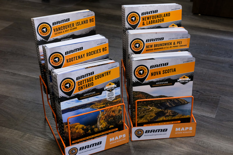
More than just a map company, Backroad Mapbooks creates all-in-one outdoor recreation guides for fishing, hunting, parks, camping, multi-use trails, paddling, ATVing, snowmobiling, winter recreation and much more.


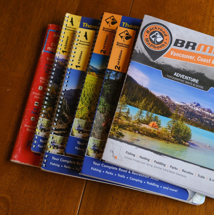
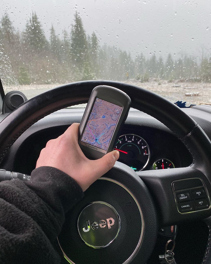
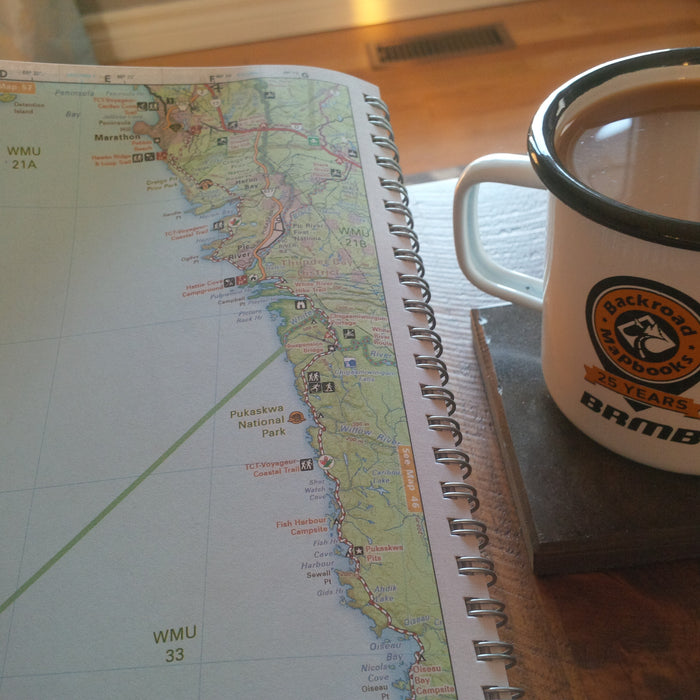
Based out of Coquitlam, BC (Canada) Backroad Maps offers a wide range of outdoor navigation products including our classic printed Backroad Mapbook series, Garmin-licensed Backroad GPS Maps, apps for Android and iOS, foldable waterproof maps, and more. Our maps are prized among the outdoor community for their detail and accuracy, clearly showing changes in elevation, natural features such as mountain peaks and glaciers, and recreational Points of Interest like hiking trails, fishing holes and campsites. Most notably, we provide the most comprehensive coverage available in Canada for backcountry roads including logging and resource roads, deactivated roads and unclassified roads. For this reason, our maps are used not just by outdoor recreationists but by government agencies and Search and Rescue teams as well.

We pride ourselves on being a small, independent business that is able to deliver the height of cartographic sophistication and outdoor recreation coverage to the entire country. Backroad Maps maintains a strong bond with the outdoor recreation community by sponsoring events, supporting individual causes and, of course, getting outside to enjoy the great outdoors ourselves whenever we can.

Whether you are a hardcore hiker embarking on a multi-day mountaineering expedition, a lifelong angler searching for that perfect steelhead stream or a first-time outdoorsperson just figuring out the ropes, we are confident that our maps will help you get the most out of the backcountry and keep your adventure rolling smoothly!

 

How it all started…

From its humble beginnings in a tiny Vancouver apartment with maps strewn over the walls to becoming a household name across the country and selling more than 2 million products, Backroad Mapbooks has come a long way since the company’s inception in 1993. The timeline below highlights how BRMB became Canada’s number one source for outdoor recreation maps and adventure information.

  • 1993

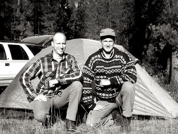
    Brothers Wesley and Russell Mussio were out exploring the maze of logging roads around Harrison Lake in southern BC on a cold, wet day. They had several books and a few maps to try to find their way, yet all of their sources showed no more than the area’s main road system. Even worse, most of the maps were outdated. The Trail, BC-born brothers quickly found themselves lost. Frustrated, Wesley asked Russell, “Why doesn’t someone make one guide that shows all the roads?” With that, a lightbulb went off, and the pair got down to work.

  • 1994

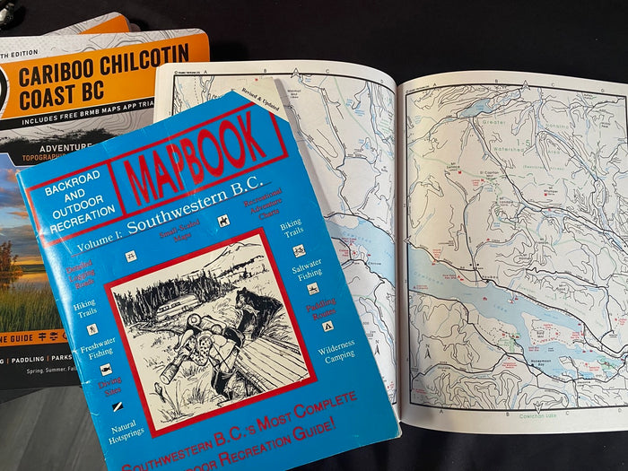
    First Run! At the time, they found that traditional maps were of limited use in the backcountry. The Mussio Brothers incorporated everything they thought was missing into the first Backroad Mapbook for Southwestern British Columbia, publishing it themselves and printing it in Wes’s garage. Beginning with a first run of just 3,000 copies, it quickly sold out after just one tradeshow. That’s when they knew they had something special.

  • 1998

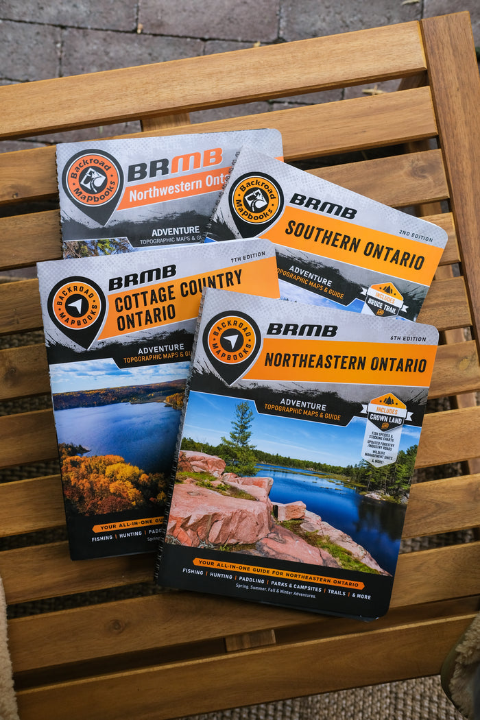
    Venturing out of Province - Having covered most of BC with six different Backroad Mapbooks titles, it was time for the series to move east into Alberta. The first edition for Southwestern Alberta was well received and the brothers soon expanded to cover the rest of the province. Ontario followed shortly thereafter with the first Cottage Country edition, aided by the entrepreneurial efforts of Jason Marleau who headed the franchise expansion in that province.

  • 1999

    Following the initial success of the Backroad Mapbooks series, Mussio Ventures entered the publishing world with guidebooks including Valleys & Vistas, Trans Canada Trail: The British Columbia Route, and Exploring BC’s Pictographs.

    The company also co-published maps for the Pembroke District in Ontario and the Whistler area of BC. Although some of these titles achieved success by Canadian publishing standards, by 2006 this division of the company was phased out and the focus returned to the Mapbook series.

  • 2000

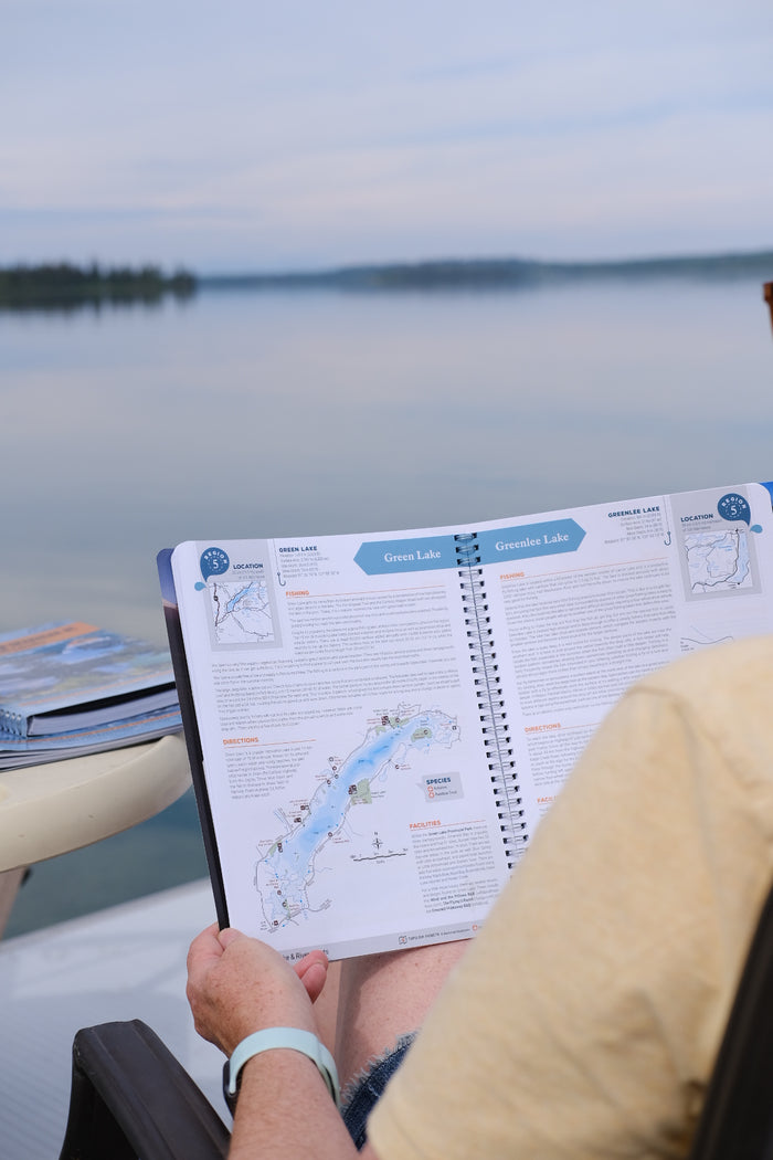
    In order to better serve the fishing demographic, BRMB launches their Fishing Mapbook series, combining their state-of-the-art cartography and road and trail coverage with in-depth fishing information including bathymetric data and detailed descriptions of fishing holes, seasons and species. These maps set the industry precedent for fishing guidebooks.

  • 2004

    In 2004 BRMB entered the world of live tracking and digital maps with the launch of the Digital Edition Mapbooks. Using third party programs such as OziExplorer, Memory Map and others, these maps allowed users to track themselves on digitized versions of the Backroad Mapbook series. This technology would later be refined and expanded upon to create BRMB’s GPS Maps and Mobile Maps.

  • 2005

    BRMB prints its first Waterproof Map, putting all the detail of the Backroad Mapbooks series into a foldable, lightweight and durable recreation map that can easily fit in a jacket pocket. The maps become a hit with everyone from anglers to hunters, campers, hikers and mountain bikers, and now cover most of BC and portions of Ontario.

  • 2006

    BRMB celebrates a tremendous milestone with 1 million products sold, including 20 Canadian National Bestsellers and titles stretching across the country. Starting with the first run of just 3,000 Mapbooks, Backroad Mapbooks is now a household name for outdoor explorers across Canada.

  • 2007

    BRMB introduces custom printable TOPO Maps, allowing customers to choose from over 1,500 maps spanning from the Pacific coast to the Atlantic. These maps feature all the detail of the Backroad Mapbooks blown up to a much larger scale, making them perfect for trip planning.

  • 2010

    BRMB enters the digital age with Backroad GPS Maps, combining industry leading cartographic detail with Garmin GPS navigation and handy tools such as trip-tracking, waypoint marking and more. These GPS Maps allow users to seamlessly navigate across numerous Mapbook titles and include all the Adventure information found in the Mapbooks. The GPS Maps will later expand to include the province of Quebec and the Northern Territories.

  • 2015

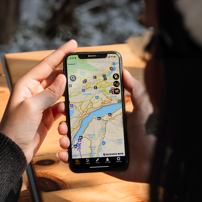
    BRMB further expands its digital presence with the launch of the Backroad Navigator app for Android and iOS smartphones and tablets. The app allows mobile users to access all of BRMB’s map data and Adventure information, plus numerous features incorporating GPS capability. BRMB will later replace this app with BRMB Maps and offer mobile maps for use with several of the industry’s leading navigation apps including Gaia GPS, Locus, Avenza, Backcountry Navigator XE and others.

  • 2018

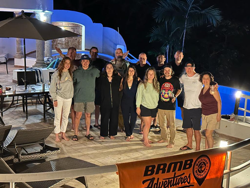
    25th Anniversary - BRMB rings in a quarter century of providing outdoor explorers with the most accurate, up-to-date and detailed maps available on the market. The BRMB team celebrates with a Vegas vacation and gives away thousands of dollars of cash and prizes in a year-long contest celebrating this milestone, all the while preparing for the future and many more years of mapmaking to come.

  • 2020

    BRMB launches the BRMB Maps App Version 1. The app allows people to explore like a pro with Canada’s most detailed topographic road and trail maps for camping, hiking, fishing, hunting, ATVing, snowmobiling and more. In early 2023, Version 2 of the app was released, featuring a brand new map style, thousands of new backroad attractions and points of interest, new map layers, and a new road classification system.

  • 2023

    BRMB celebrates 30 years of outdoor adventure with a logo refresh and a name rebrand from “Backroad Mapbooks” to “Backroad Maps“. While the name has evolved, what hasn’t changed is the industry-leading cartographic maps and detail-packed adventure points of interest that ensure our customers find their way into and out of the backcountry safely! With the 30th anniversary came an epic contest on the BRMB Maps App & Web Map, which awarded 30 prizes and 9 bonus prizes for a total value over $30,000.

  • 2024

    Backroad Maps celebrates the major milestone of selling over 2,000,000 mapbooks. With over 30 years of experience guiding Canadians through the backcountry, Backroad Maps continues to take pride in being the most trusted maps for professionals, recreationists, and even search and rescue teams.