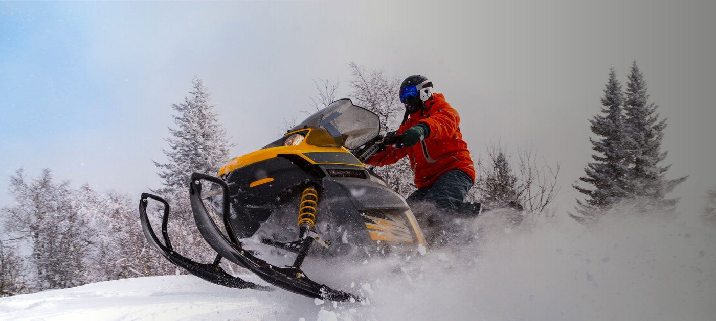


Explore Canada’s top snowmobiling routes with Backroad Maps — whether you’re heading into the deep backcountry, riding unplowed logging roads, or exploring club-maintained trail networks. Our maps help you find new routes and plan safe, unforgettable rides through Canada’s winter wonderland.
- Find new terrain: Ride thousands of kilometres of mapped snowmobile trails, unplowed roads, and cutlines, including key access routes and staging areas.
- Plan your route: Trails are marked with elevation data, terrain types, access points, and nearby amenities like cabins, lookouts, and warming shelters.
- Know before you ride: Trail descriptions cover distance, elevation gain, restrictions, local club info, and safety tips — so you can ride prepared.

Choose Your Map Format
- BRMB Maps App: Track snowmobile routes, mark staging areas, and download offline maps for backcountry trips. Plus, explore user reviews and photos to find the best trails for your ride.
- GPS Maps for Garmin Devices: Reliable, rugged, and built for winter — Garmin-compatible GPS maps offer detailed snowmobiling routes even in no-service zones.
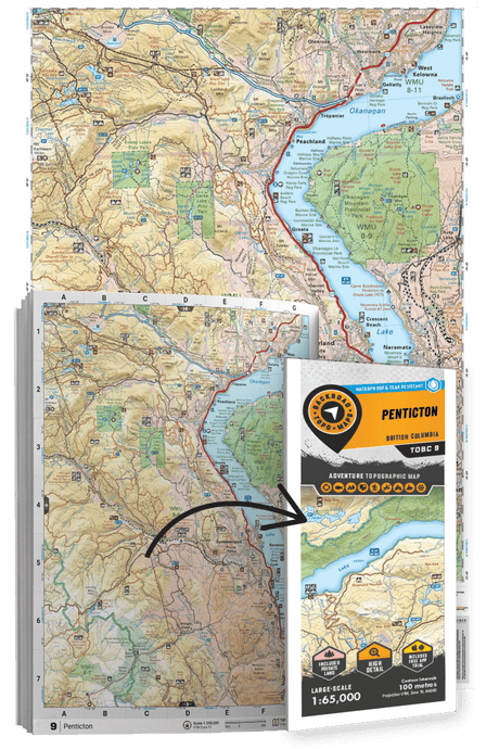
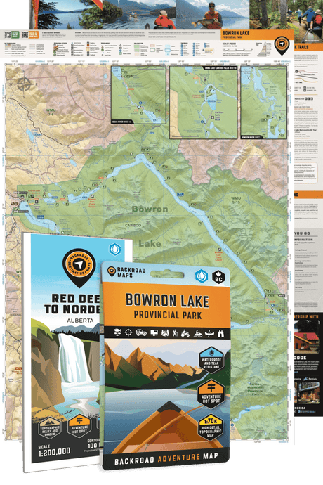
- Backroad Mapbooks: Includes route descriptions, safety tips, and staging areas in a convenient, easy-to-use print format — perfect for planning your next ride.
- Folded Maps: Waterproof and trail-ready, these maps highlight snowmobile routes, road access, and terrain features for quick reference on the go.
- Wall Maps: Great for visualizing routes and planning trips at home, our large-scale wall maps showcase snowmobile trails across entire regions.