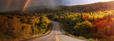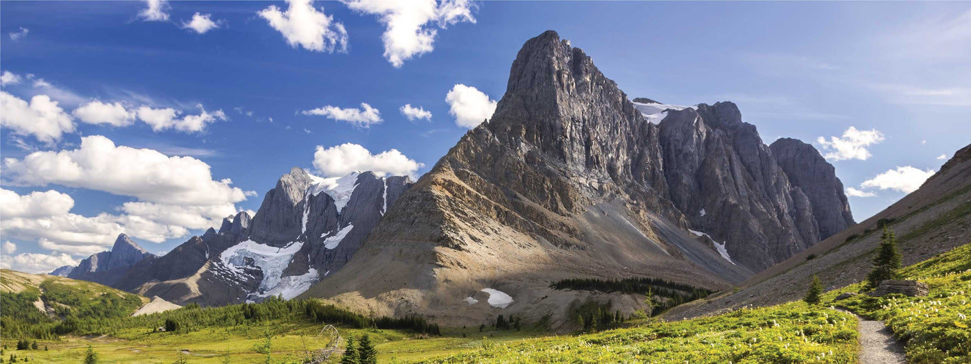


With hundreds of thousands of parks and nature reserves across Canada, Backroad Maps helps you easily find the perfect spot to enjoy the outdoors — from peaceful conservation areas to vibrant urban parks.
- Find parks for every activity: Whether you're looking for a backcountry adventure in Algonquin Provincial Park or a family picnic spot by the beach, our maps show you a wide range of parks and reserves, each offering unique recreational activities.
- Explore parks across Canada: From municipal parks to vast wilderness areas, our maps cover everything, giving you detailed information about each location, including trailheads, campsites, fishing spots, and more.
- Access detailed park information: Our maps provide key park details such as amenities, activities, trail distances, and difficulty ratings, helping you make the most of your visit.

Choose Your Map Format
- BRMB Maps App: Navigate to parks, trails, and reserves with ease using our georeferenced maps. Track your routes, mark custom waypoints, and access offline maps for when you’re off the grid.
- GPS Maps for Garmin Devices: Ideal for those using handheld GPS devices, our Garmin-compatible maps provide detailed park information and trail data, perfect for rugged outdoor conditions.
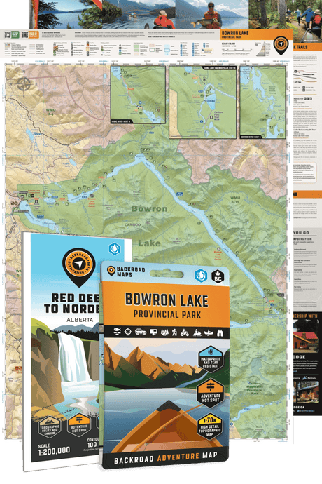
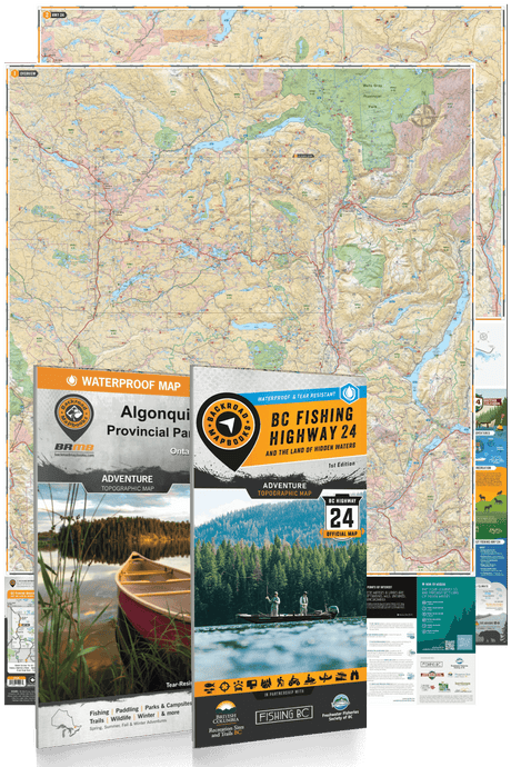
- Backroad Mapbooks: The perfect companion for planning your park visits, our guidebooks include detailed descriptions and maps of parks and reserves across Canada.
- Folded Maps: Waterproof and easy to carry, these maps provide quick access to essential park details for outdoor adventures.
- Wall Maps: Plan your park visits with our large-scale wall maps, perfect for visualizing parks, trails, and reserves across the country.