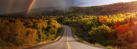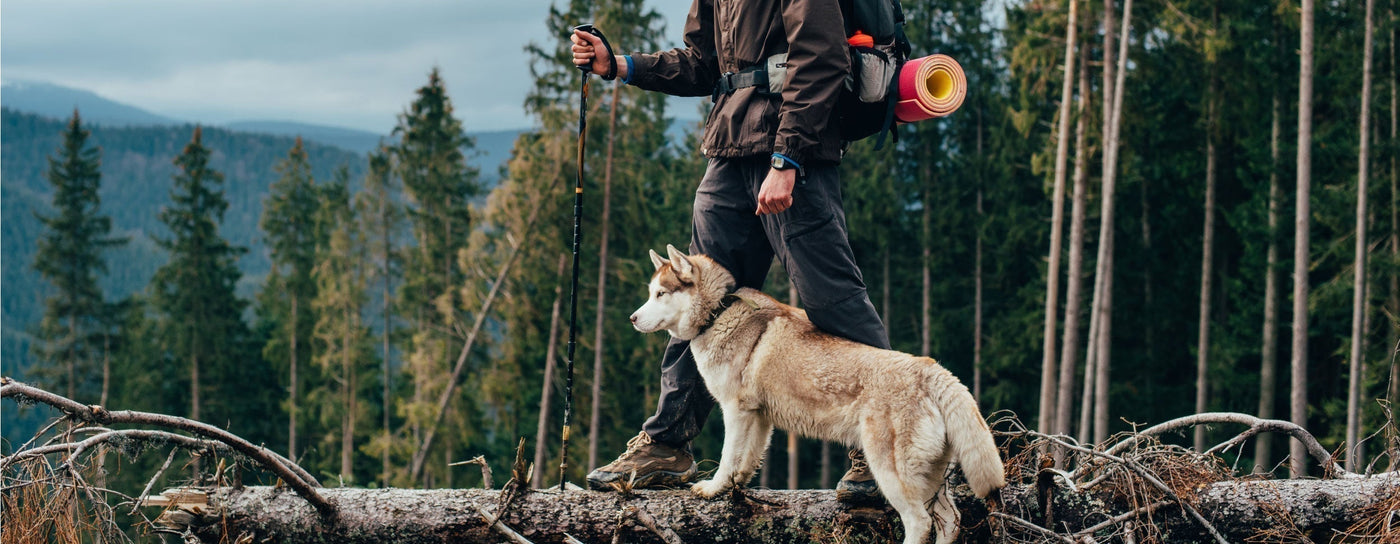


Explore Canada’s diverse multi-use trails for hiking, biking, horseback riding, and winter sports with Backroad Maps. Whether you’re heading out for a scenic forest hike or an epic mountain biking adventure, our maps provide all the information you need for a successful outdoor experience.
- Navigate with confidence: Our maps cover a variety of multi-use trails, including dedicated paths for hiking, biking, horseback riding, and winter activities.
- Plan your route: Detailed trailheads, scenic viewpoints, campsites, and other key landmarks are clearly marked on our maps to help you plan your trip.
- Know your trail: Our maps provide essential information, including trail distances, elevation gain, difficulty ratings, and highlights, so you can choose the right trail for your adventure.

Choose Your Map Format
- BRMB Maps App: View detailed trail data, track your hikes or rides, save waypoints, and access offline maps for when you're off the grid. Plus, discover new trails through user reviews and photos from our community.
- GPS Maps for Garmin Devices: If you prefer a handheld GPS device, our Garmin-compatible maps offer the same detailed coverage and are ideal for all types of terrain.
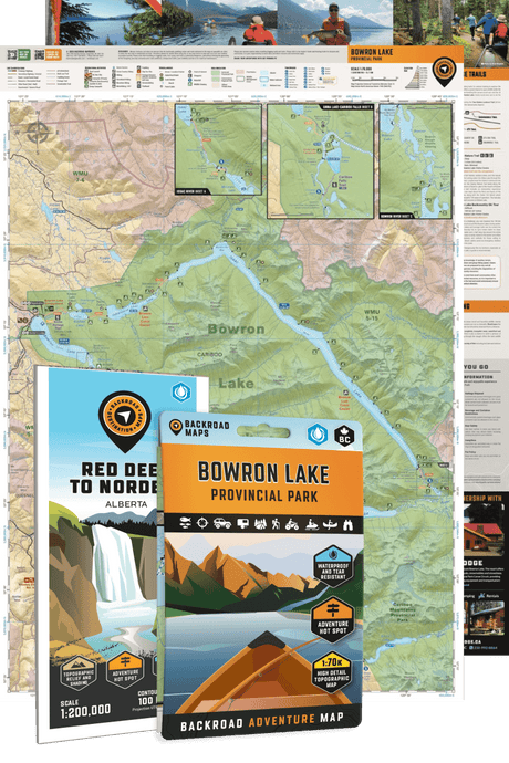
- Backroad Mapbooks: Perfect for planning, with easy-to-read maps and descriptions of the best multi-use trails, trailheads, and landmarks.
- Folded Maps: Waterproof and portable, these maps are great for quick references on the go, showing the key trails and route information.
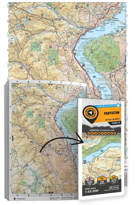
- Wall Maps: Large-scale, detailed wall maps perfect for at-home trip planning, showcasing multi-use trails across Canada.