Discover Canada’s best ATV and OHV (Off-Highway Vehicle) trails with Backroad Maps. Whether you’re cruising rugged mountain roads, exploring remote logging routes, or conquering off-the-grid trails, our maps give you the detailed information you need to make every ride unforgettable.
- Navigate remote trails: Our maps cover a wide range of ATV and OHV trails, including industry roads, deactivated logging roads, and unclassified backcountry trails.
- Plan with ease: Clearly marked trailheads, staging areas, and key landmarks like campsites, lookouts, and water crossings ensure you never get lost.
- Know the details: Get trail distances, elevation gains, difficulty levels, and route highlights to ensure you’re ready for any ATV adventure.

Choose Your Map Format
- BRMB Maps App: View detailed ATV trail data, track your rides, save waypoints, and enjoy offline access to maps for when you’re off the grid. Plus, share your experiences with the community and find new trails through user-generated reviews and photos.
- GPS Maps for Garmin Devices: For those who prefer handheld GPS devices, our Garmin-compatible maps provide all the necessary details for ATV adventures, even in the most remote areas.
- Backroad Mapbooks: The perfect planning tool for ATV adventures, with easy-to-read maps and descriptions of the best ATV trails, trailheads, and staging areas.
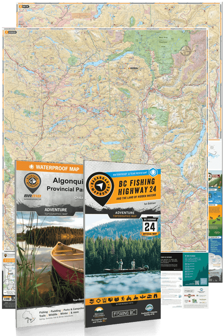
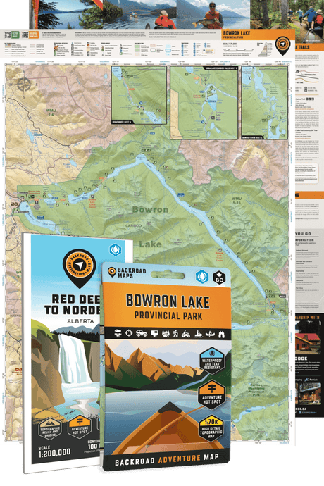
- Folded Maps: Waterproof and portable, these maps give you quick access to trail and route information, making them perfect for on-the-go reference.
- Wall Maps: Large-scale wall maps give you a comprehensive overview of ATV trails across Canada, helping you plan your off-road journeys from home.

![ATV [OHV] Trails](http://backroadmapbooks.com/cdn/shop/articles/bc-atv-header_4a23a1dc-c663-4d65-a1a3-da0281e26317.jpg?v=1745409291&width=1400)


