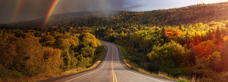


For those seeking adventure in the backcountry, Backroad Maps provides a comprehensive guide to Canada’s best huts, cabins, and shelters. Whether you’re planning a winter getaway, a remote hiking trip, or a wilderness retreat, our maps help you navigate and access a wide range of accommodations in the heart of nature.
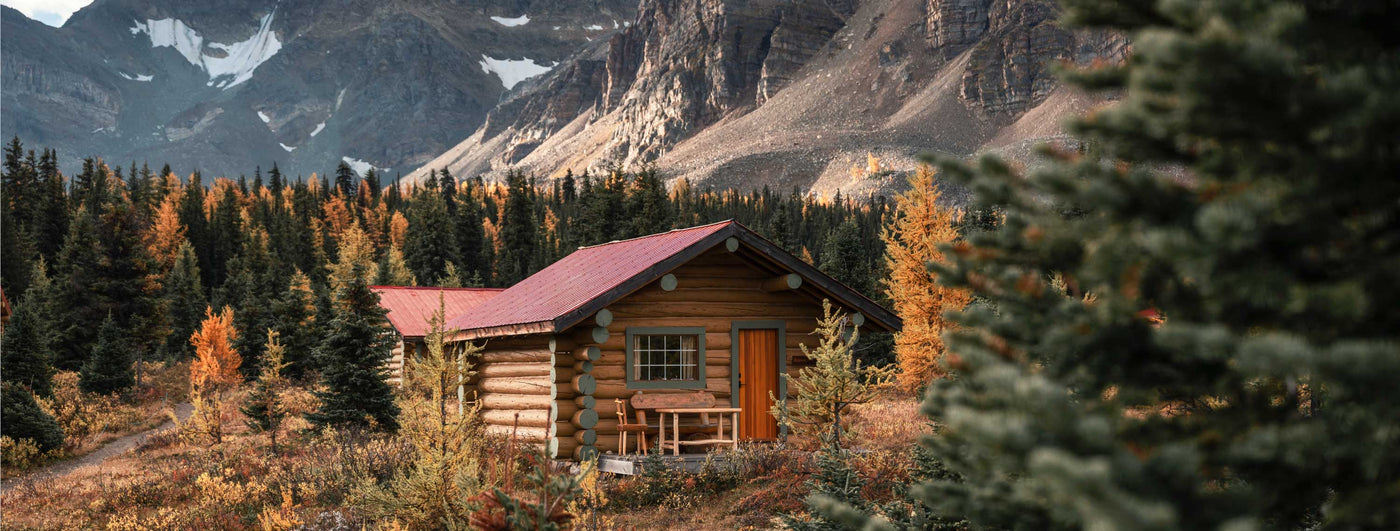
- Huts, Cabins & Shelters: Clearly marked on our maps, these locations provide the perfect basecamp for your backcountry trip, whether for overnight stays or longer expeditions.
- Detailed Terrain Mapping: Ultra-detailed topographic maps with contours and relief give you a clear picture of the terrain around your hut or cabin, helping you plan your routes and stay safe.
- Access & Routes: Our maps cover roads and trails leading to each cabin or hut, so you can easily find the best route to your destination.

Choose Your Map Format
- BRMB Maps App: Access detailed backcountry routes, cabins, and amenities with offline capabilities, perfect for remote adventures.
- GPS Maps for Garmin Devices: For those using handheld GPS devices, our Garmin-compatible maps provide the same detailed hut and cabin information, ideal for rugged conditions.
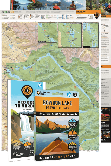
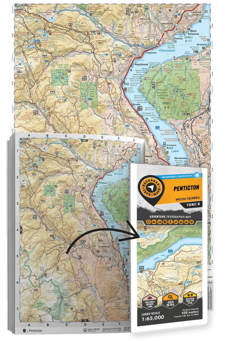
- Backroad Mapbooks: Printed maps with comprehensive descriptions of huts, cabins, lodges, and shelters, including access details and booking info.
- Folded Maps: Waterproof and portable, these maps allow for quick access to backcountry accommodations and routes on the go.
- Wall Maps: Large-scale wall maps give you an overview of backcountry accommodations and routes, helping you plan your trips from home.