


Wildlife Viewing

Your Guide to Canada’s Best Wildlife Viewing

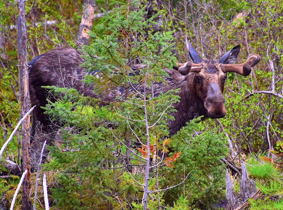
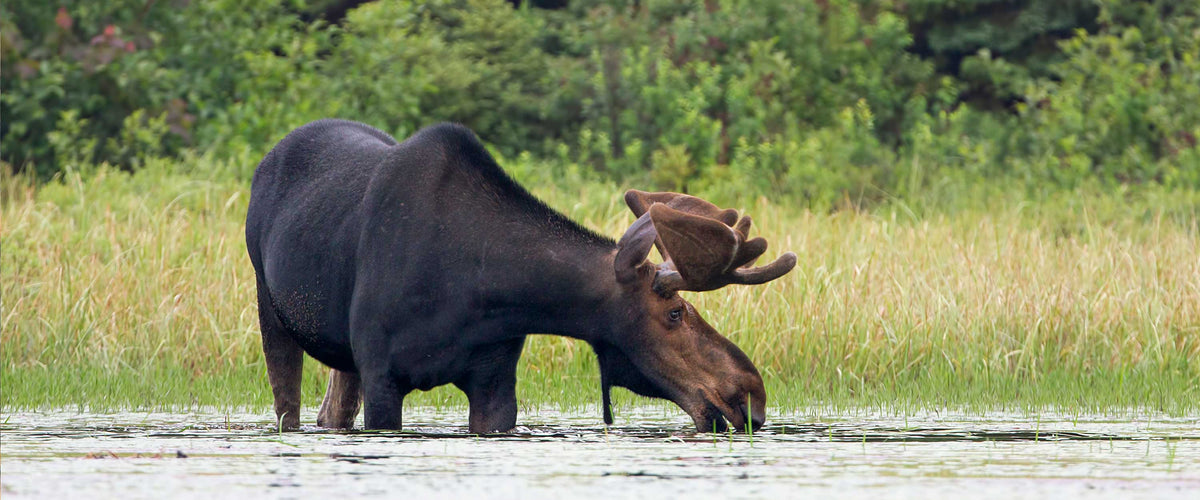
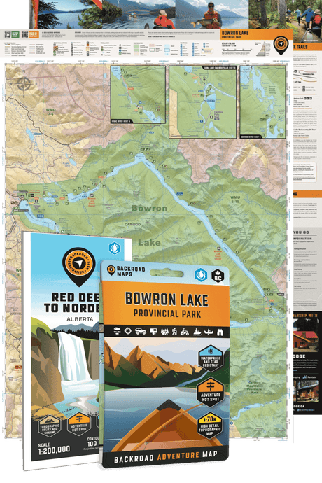
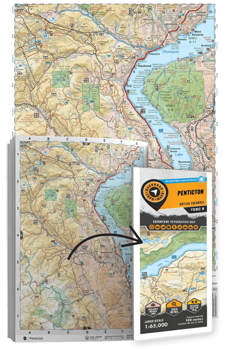
Our maps contain a wealth of wildlife viewing and birding information, with clearly labelled wildlife viewing areas shown across the country. This includes bird sanctuaries, wildlife preserves, ecological reserves and national and provincial parks, plus countless trails and scenic roadways where you are likely to encounter wildlife. Mapbooks, GPS Maps, the Backroad Navigator app and our BRMB Canada Web Map include written descriptions of wildlife viewing and birdwatching areas complete with information on wildlife species, the best times to see them, access, contact information and more. For digital products, these wildlife viewing and birding areas are georeferenced and searchable, while our Mapbooks contain an easy-to-use Adventure index to help you find the exact wildlife viewing area you are looking for.

Backroad Maps for Wildlife Viewing

  • WILDLIFE AREAS

    • 2,650+ Wildlife Viewing sites across Canada
    • Prime locations labelled with names and symbols
    • Bird sanctuaries, wildlife reserves, ecological preserves and more
    • Birdwatching sites
    • Fish hatcheries & spawning areas
    • National & provincial parks and protected areas
    • Scenic drives & wildlife corridors
  • INFORMATION

    • Descriptions with access, tips & highlights
    • Facilities & amenities available
    • Hours, fees & other important details
    • Information on species & best viewing times
  • DESCRIPTIONS

    Many of the wildlife viewing areas shown on our maps are supplemented with written descriptions compiled by our team of outdoor writers and researchers. These descriptions include information on access and directions, wildlife species, the best time of day or year to view wildlife and migratory birds, contact information and more. We also include tips on how to have a successful wildlife viewing adventure, and Mapbook users can easily reference these descriptions to their exact locations on the maps in the front of the book.

Featured stories

Showing articles tagged “Wildlife Viewing”

View all articles

What makes our maps different?

Our maps are prized among the outdoor community for their detail and accuracy, clearly showing changes in elevation, natural features such as mountain peaks and glaciers, and recreational Points of Interest like hiking trails, fishing holes and campsites. Most notably, we provide the most comprehensive coverage available in Canada for backcountry roads including logging and resource roads, deactivated roads and unclassified roads. For this reason, our maps are used not just by outdoor recreationists but by government agencies and Search and Rescue teams as well.