Southern Vancouver Island is a haven for overlanders, with a vast network of logging roads that crisscross the region and lead to unforgettable destinations. From rugged ocean shorelines and towering old-growth forests to the dramatic peaks of the Vancouver Island Ranges in Strathcona Provincial Park, this region offers endless opportunities for off-grid exploration. A well-equipped 4x4 SUV or Sprinter-style van is your passport to discovering one of Canada’s most exceptional backcountry landscapes.
 Lake Cowichan to Bamfield
Starting from Highway 1 in Duncan, take Highway 18 to the eastern shores of Lake Cowichan. Here, the pavement ends and the adventure begins. This 116 km (72 mi) overland route gains 150 m (495 ft) in elevation as it follows the north shore of Cowichan Lake through Youbou, then connects to Nitinat River Main, Carmanah Main, Flora Lake Main, and Central South Main en route to Bamfield on Trevor Channel.
 Highlights include:
- Nitinat River Falls
- Ancient giants like the Nitinat Spruce, Colossus, and Chamber Cedars
- The Nitinat Rhino Foot Spruce
- Historic B-24 Liberator crash site
- Access to the West Coast Trail and Pachena Point Lighthouse
The BC trail adventures tags routes the same way, so finding a longer or shorter alternative is as simple as toggling a filter.

Carmanah Walbran Ancient Giants
No overland journey to the west coast is complete without a visit to Carmanah Walbran Provincial Park. Home to some of the largest Sitka spruce trees on Earth – some over 1,000 years old – this park is a sanctuary of biodiversity and awe-inspiring wilderness. Access is via Rosander Main, south of Nitinat River Main. Camping is available at the trailhead.
Note: Road conditions can be rough and prone to landslides. Check the park website for current advisories before heading out.

Campbell River to Tahsis: The Tree to Sea Drive
From Campbell River, follow Highway 28 through Strathcona Provincial Park to Gold River. Lady Falls makes a great stop to stretch your legs. From Gold River, a detour north leads to Gold Muchalat Provincial Park – ideal for wildlife viewing and rustic hiking.
Continue west on the 65 km gravel Tree to Sea Drive toward Tahsis. This scenic route is packed with natural wonders and cultural landmarks:
 Points of interest:
- Upana Caves
- Cala, Inukshuk & Three Sisters waterfalls
- Conuma River Hatchery
- The Presidents Tree (a massive Douglas fir)
- Viewpoints, hiking trails, and recreation sites

Ucluelet & Tofino
While not a backroad destination, Ucluelet and Tofino are essential stops for any overlander visiting the island. The drive west from Parksville passes through Port Alberni and offers access to old-growth forests, wilderness parks, and stunning coastal scenery. With world-class beaches, hiking trails, and unforgettable sunsets, these communities are worth the detour.

Getting to Vancouver Island
Ferries from the mainland include:
- Tsawwassen → Swartz Bay
- Horseshoe Bay → Departure Bay
- Powell River → Comox
Crossing times range from 90 minutes to 2 hours, depending on the route.
Pro Tips for Overlanding on Southern Vancouver Island
-
Be Self-Sufficient
Many routes lead deep into remote terrain with limited services. Carry extra fuel, water, food, and recovery gear. Cell service is spotty—offline maps are essential. -
Check Road Conditions Before You Go
Logging roads and forest service routes are prone to washouts, closures, and seasonal restrictions. Use the BC Parks website and the BRMB Maps app to verify access. -
Respect Active Logging Areas
Many backroads are shared with forestry operations. Yield to industrial vehicles, obey posted signage, and avoid travel during active hours when possible. -
Travel with a Buddy or Share Your Route
If you're solo, let someone know your itinerary. If you're in a group, bring radios or satellite communicators to stay in touch across remote terrain. -
Pack Out What You Pack In
Leave no trace. Respect nature, local communities, and Indigenous lands. Keep campsites clean and trails clear for others to enjoy.

Final Word
Southern Vancouver Island offers a rich tapestry of off-road routes, wild landscapes, and hidden gems for overlanders. Whether you're navigating the rugged Tree to Sea Drive or exploring ancient forests near Carmanah Walbran, the journey is as rewarding as the destination.
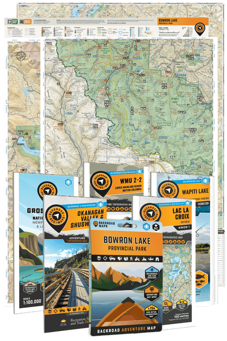
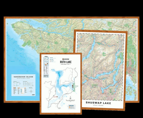
Before heading out, grab a copy of the Vancouver Island BC Backroad Mapbook, download the BRMB Maps app, or explore GPS options to stay on track. Share your journey at brmbmaps.com or tag your adventures with #BRMBLIFE on social.
The backroads are calling. Time to answer.