Rugged white quartzite ridges, turquoise lakes, and sweeping views over Ontario’s wild backcountry – the La Cloche Silhouette Trail in Killarney Provincial Park is one of the most challenging and rewarding backpacking routes in Ontario.
This 78 kilometre (48 mile) loop typically takes 7 to 10 days to complete and is a true backcountry adventure. Along the way, you’ll climb steep ridges, trek through deep valleys and camp beside some of the clearest lakes in the province.

Pro Tip: Hike the loop clockwise – the north ridges include scree and talus slopes that are safer and easier to tackle in this direction.
If you’re planning to take on this backcountry classic, here’s everything you need to know – from section breakdowns and campsites to essential gear and trip-planning tips.
 Trail Sections
The La Cloche Silhouette Trail begins and ends at opposite ends of the George Lake Campground off Highway 637. It is divided into five distinct sections:
Baie Fine Section – 14 km (8.7 miles)
Starting from the west end of the George Lake campground, this section passes Lumsden, Acid, Cave, Topaz Lake, and The Pool. It’s dotted with seven campsites, perfect for breaking into the hike gradually.
 Threenarrows Section – 19 km (12 miles)
Looping around the western side of Threenarrows Lake, this section includes 10 campsites and a 500 metre side trail to Bodina Lake. Keep your eyes open for blueberry bushes in season – a sweet trail-side bonus!
Hanson Township Section – 15.7 km (9.8 miles)
Often called the most scenic section of the trail, this section winds past Shigaug, Little Mountain, Boundary, and David Lakes, with five campsites available. Expect big views and photo ops.

Silver Peak Section – 16.6 km (10.3 miles)
Add the Silver Peak detour to your trip (21 km / 13 mi total) for one of the best panoramic views in Ontario. Seven campsites are spread across Silver, Bunnyrabbit, Heaven, Proulx, and Little Superior Lakes.
Killarney Ridge Section – 8.4 km (5.2 miles)
This section features The Crack, a must-see lookout over Killarney and OSA Lakes with Georgian Bay shimmering to the south. There are five campsites at Wagon Road, Little Sheguiandah, and A.Y. Jackson Lake, located before the trail loops back to George Lake.

Planning Your Trip
The La Cloche Silhouette Trail is a true wilderness hike that takes more than a backpack and a good pair of boots. Here’s what to consider:
Group Size & Trip Length
- 7 days = average of 11 km (6.8 miles) per day
- 10 days = average of 8 km (5 miles) per day
- Consider the age, fitness, and backcountry experience of your group, and plan your stops accordingly (including booking your campsites)
Gear Essentials
- Backpack: 50-70L, expect 20-25 kg (55 lbs) at the start, and ensure the pack is comfortable.
- Footwear: Waterproof boots with ankle support and good traction & a pair of camp slippers or sandals
- Shelter: Tent, hammock, or tarp (practice setup before heading out).
- Sleeping System: Synthetic or down sleeping bag, plus a sleeping pad.
- Trekking Poles: Highly recommended for rocky terrain and stream crossings.

Cooking & Food
- Stove: Lightweight backpacking stove (fire bans are common).
- Food: Pre-portioned freeze-dried meals or dehydrated food. Remove bulky packaging and repack in resealable bags.
- Snacks: Keep some handy in outer pack pockets for quick access.
Clothing
- Dress in layers with synthetic, fleece, or merino wool – leave the jeans at home.
- Bring extra socks, a toque, and gloves for chilly mornings and evenings.
- Think function over fashion when packing for a multi-day hiking trip
Other Must-Haves
- Navigation: Killarney Park map, compass, BRMB Maps App (download offline).
- Safety Gear: First aid kit, whistle, headlamp, bear spray, waterproof bags.
- Extras: Rope for bear hangs, bug repellent, sunglasses, pocketknife, and water purification system (or boil water for 5 minutes).

In the Backcountry: Tips for Success
- Set up camp, kitchen area, or bear hang at least 60 metres (200 feet) from water sources.
- Use box privies (outhouses) where available; otherwise, dig a proper cat hole – 4 to 6 inches deep and at least 60 metres (200 feet) from water and well off the trail.
- Treat or boil all drinking water.
- Pack out everything you bring in – yes, even food scraps.
- Keep your distance from wildlife. Dogs must always be leashed.
- Expect bugs – especially mid-summer.

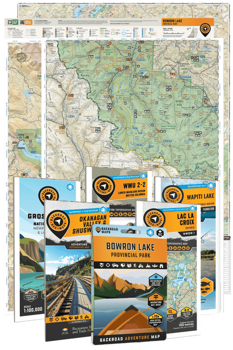
Your Trail Toolkit
Are you ready to tackle one of Ontario’s most spectacular backpacking routes?
Before heading out, make sure you’re equipped with:
- Northeastern Ontario Backroad Mapbook – for broader regional navigation
- Killarney Park Map – detailed trail and campsite info
- BRMB Maps App – download offline maps to your device

Share Your Adventure
The La Cloche Silhouette Trail is as demanding as it is unforgettable. Be sure to capture your campsites, ridge-top views, and those iconic blue lakes – and share them with us using #BRMBlife.
Happy hiking – see you on the trail!