Summary: Snowmobiling in Alberta works differently from the rest of the country in one important way: there is no mandatory province-wide trail pass. Ontario has the OFSC permit, Manitoba has the Snopass, and Alberta has neither. The Alberta Snowmobile Association membership is voluntary. What the law does require is registration, a minimum of $200,000 third party liability insurance, a CSA compliant helmet and an operator aged 14 or over. What the land management rules require is that you stay on designated trails inside a Public Land Use Zone, and those zones have hard date windows. Here is all of it.
No trail pass. That surprises riders who come from Ontario or Manitoba, and it is worth being precise about what it does and does not mean.
Backroad Maps has mapped this province for more than 30 years, and the ASA has been running the volunteer trail network since 1971. Between them, ASA member clubs look after somewhere between 6,000 and 6,500 kilometres of groomed trail, which is a range rather than a number because the association publishes "6,000+ km of Groomed Trails" on its homepage and "over 6,500 kilometers of trails" on its About page. Thirty clubs are listed across six zones.
What Alberta does not have is a statutory permit. The Government of Alberta's own snowmobiling page lists everything the law requires to ride on public land, and a trail pass appears nowhere on it. The ASA membership, at $80 to $90 a year, is a voluntary contribution to grooming and, on certain club trails, functions as landowner permission. Buy it because the grooming is not free, not because a warden will ask for it.
"Ensure the people you are travelling with have the knowledge and ability to rescue you if you are stuck in an avalanche. Your chance of surviving an avalanche drops significantly if you are buried for more than 15 minutes." (Government of Alberta, snowmobiling on public land)
Key takeaways
- Alberta has no mandatory province-wide trail pass. ASA membership is voluntary: $80 a year without a decal, $90 with, or a $25 day pass covering two days.
- Registration and insurance are mandatory on public land and highways, with a statutory minimum of $200,000 third party liability. Neither is required on your own private property.
- The legal definition of "highway" includes the ditch, so riding a road ditch is prohibited unless permission has been expressly granted.
- Public Land Use Zones have hard date windows. Sibbald opens January 1, Cataract Creek and Castle open December 1, and Whitecourt Sandhills closes March 1.
- Snowmobiling is not permitted in the Kananaskis PLUZ, Blackstone/Wapiabi or Panther Corners, and PLUZs are not avalanche controlled.
What the law actually requires
Six things, and no trail permit among them (Government of Alberta):
- Registration. "Off-highway vehicles must be registered before they are allowed on Alberta's roads. This applies only to public land and highways. No registration required if on private property."
- Insurance. All OHVs must be insured for use on public land or highways. The Insurance Act sets the floor: every motor vehicle liability policy insures "to a limit of not less than $200 000" per accident, with $190,000 of that having priority for bodily injury and death claims.
- Helmet. Required "for anyone driving, operating, riding in or on, or being towed by, an OHV," and it must be CSA compliant. The fine is $155 for no helmet and $93 for a non-compliant one. Exemptions cover your own property, private property with permission, First Nations reserve and Métis settlement lands, exempt farm and ranch work, and Sikh riders wearing a turban.
- Age. "Snowmobile operators must be 14 years or older." Under 14 may operate on public land only with supervision by someone 18 or older, on the same machine or in close proximity.
- Equipment. "Your vehicle must have a licence plate, working head-lamp and tail lights, a proper exhaust muffler and spark arrestor." The tail lamp must be visible and the headlamp must illuminate from at least 60 metres.
- Operator's licence. Not required for off-highway operation. Required on-highway, and not required simply to cross a highway. Note that the ASA FAQ states a Class 5 licence is required by law, which does not match Alberta Transportation's own booklet. Follow the government source.
Impaired operation is illegal, and Alberta Transportation specifically warns: "Do not pull people on saucers, tubes, tires, sleds or skis behind a snowmobile."
The ditch rule that catches everyone
This is the single most misunderstood rule in Alberta snowmobiling. "An off-highway vehicle may not be operated on any highway, road or ditch unless permission has been expressly granted," and then the critical clarification: "Definition of 'highway' includes the ditches alongside the roadway." The Traffic Safety Act goes further, defining a highway to include "if a ditch lies adjacent to and parallel with the roadway, the ditch" and, where a right of way is fenced, "all the land between the fences."
So running a ditch line between two staging areas is not a grey area, it is prohibited unless a ministerial order or a municipal bylaw has authorised it on that stretch.
Crossing is different and is allowed, with conditions: stop before crossing, all passengers off the machine, yield to everything on the highway, take the most direct and shortest route, and no licence is required to cross.
Where you can ride, and the dates
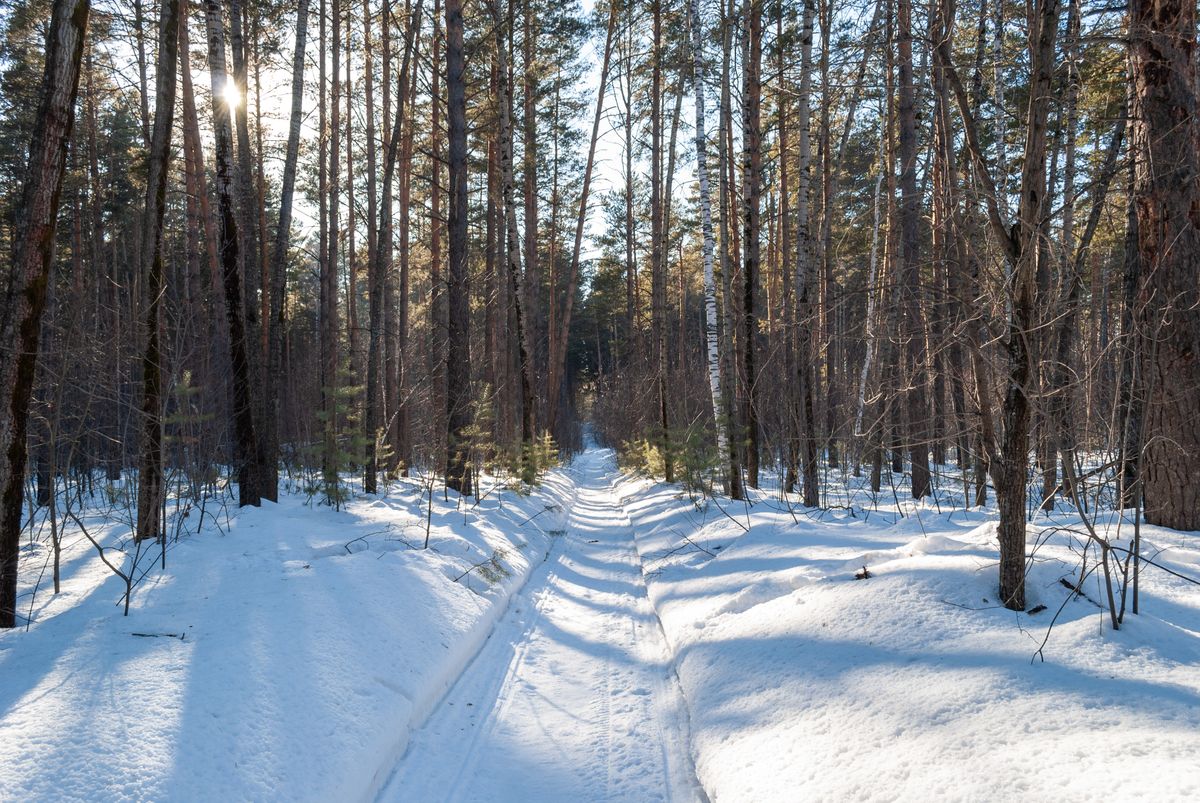
Snowmobiles are permitted on public land inside and outside Public Land Use Zones, on provincial trails, and at some provincial park sites. Outside a PLUZ, "Snowmobiling is allowed on public land outside of a PLUZ. Always follow the posted rules and signs." Inside a PLUZ the core rule is narrower: "Stay on designated trails and water crossings, or within designated snow vehicle areas."
The date windows, all from official sources, are where trips go wrong:
- Cataract Creek Snow Vehicle PLUZ: December 1 to April 30. Established October 1979, 503 square kilometres, created specifically to provide snowmobiling opportunities.
- Sibbald Snow Vehicle PLUZ: January 1 to March 31. Powderface Trail (Road) runs December 1 to April 30, and the Big Elbow and Little Elbow Loop runs January 1 to March 31. 97 square kilometres, and notably OHVs are not permitted at all, making it a winter-only motorised area.
- Castle Provincial Park and Castle Wildland: "Snowmobiles are only permitted on designated winter snowmobiling areas... from December 1 to April 30." Random Ride Areas are permitted as shown on the map, use at your own risk.
- Whitecourt Sandhills PLUZ: designated trails only, December 1 to March 1. OHVs not permitted. 27 square kilometres.
- Holmes Crossing PLUZ: designated trails only, December 1 to March 1.
- Coal Branch PLUZ: designated trails only, 571 square kilometres. No date window is published.
Three places to cross off your list entirely. The Kananaskis PLUZ states "Snow vehicles not permitted" and redirects riders to Cataract Creek, the Elbow Loop, McLean Creek and Sibbald. Blackstone/Wapiabi: "Snowmobiles are not permitted." Panther Corners: "Snow vehicles not permitted."
Road closures shape access as much as trail status. Highway 532 is closed to vehicles December 1 to April 30 between Highway 22 and Highway 940, and the Forestry Trunk Road, Highway 940, is closed December 1 to April 30 south of Cataract Creek. Powderface Road and Highway 66 west of Elbow Falls are closed December 1 to May 14.
The riding areas, with real numbers
Cataract Creek is the best documented sledding system in Alberta, because Alberta Parks publishes per trail lengths: Etherington 11.1 km one-way, Oyster Excursion 11.2 km, Baril Loop 10.4 km, Cummings Creek 9.2 km, Pasque 9.2 km, Cataract Creek 8.4 km, Wilkinson Summit 8.4 km, Skyline 8.0 km, Raspberry Pass 7.5 km, Fallers 6.0 km, Valley Bottom 6.0 km, Cataract Loop 4.2 km, Baril Creek 4.0 km, Upper Raspberry 4 km and Loggers 3.5 km. Current advisory on Valley Bottom: "Impassable washout directly south of Etherington Day Use." Alberta Parks also warns that "The southern portion of this system is prone to large snow drifts and ice flows are possible" (Alberta Parks trail report).
Whitecourt is the club-run heartland. The Whitecourt Trailblazers "look after an extensive network of trails covering approximately 485kms in the Whitecourt area," working with the province, the ASA, Woodlands County and the town. Whitecourt is also one of the few communities that permits snowmobiles inside town limits, on designated trails only, at a maximum of 20 km/h. Club trail reports go out every Thursday by noon, and there is a Sno-Line at 1-800-313-7383 (Whitecourt Trailblazers).
The Golden Triangle links Whitecourt, Fox Creek and Swan Hills across 350 km of trail with warm-up shelters and cabins throughout. The operators recommend riding it "between February 1st and March 30th of the sledding season," say it takes "approximately 10-12 hours to ride the entire Golden Triangle system in one singular day," and rate it intermediate to advanced. Their water warning is blunt and worth repeating: "All bodies of water are at your own risk; our trails stop at the banks."
Swan Hills claims "above average snowfall and hundreds of kilometres of trails," and the local club's explanation is simple elevation: "With our high elevation, we get more snow than other areas of the province." Maintained systems include the Krause Lake area, the forestry trail system, the Trans-Canada snow-route and the Golden Triangle. No exact groomed kilometre figure is published for Swan Hills alone.
Crowsnest Pass is the southern hub. CrowSnow Riders, established 1991, describe "some 1,200 km of trails, 200 km of which are groomed." They point riders at two official maps, the PLUZ map and the Castle Provincial Park winter map, both georeferenced.
Nordegg and the Bighorn is huge but tightly conditioned. Job/Cline PLUZ permits snowmobiles "only on designated trails and designated sledding areas" across 1,378 square kilometres. Upper Clearwater/Ram is the same across 1,907 square kilometres. Kiska/Willson permits them on designated trails across 1,023 square kilometres. Alberta's Nordegg brochure notes that "Both non-motorized users and off-highway vehicle users may be on the same trail at the same time" and that trails there "are unsupervised. Use at your own risk and to your level of skill."
Grande Cache is unmanaged backcountry rather than a groomed system, and the MD of Greenview is honest about it: "Outside of Willmore Wilderness Park are countless cut-lines, old exploration and logging roads, all offering a variety of terrain from easy to challenging." Named access points include Grande Mountain 6 km south on Highway 40, Flood Mountain about 10 km south, Huckleberry Tower 42 km south then 35 km on Goodwin Road, Hoff Siding and A-La-Peche Lake. Town access is permitted only to reach out-of-town trails by the shortest route, at 20 km/h, with "NO stopping at gas stations to fuel up." And the hard boundary: "No motorized vehicles are permitted in Willmore Wilderness Park or Sulphur Gates Provincial Recreational Area."
One correction on a name that circulates in trip reports. We could not verify Beaver Mines as a snowmobile riding area. The only official winter statement is the opposite: Beaver Mines Lake Campground is "open for non-motorized day use" in winter with vehicle access closed beyond the park entrance.
Passes and fees, since there is no trail pass
Two passes actually cost you money in Alberta, and neither is a trail permit.
The Kananaskis Conservation Pass is a parking pass: $15 for a day covering one vehicle, or $90 yearly covering up to three vehicles. It applies to "All personal and commercial vehicles parked in parks and public lands in Kananaskis Country and the Bow Valley corridor." It is required to access the Sibbald Snow Vehicle PLUZ with your vehicle, and required for Cataract Creek access. It is not required for the Ghost area, McLean Creek PLUZ, McLean Creek Provincial Recreation Area, Fisher Creek PRA or the Canmore townsite. Free days include the first Wednesday of every month and December 21 (Kananaskis Conservation Pass).
The Public Lands Camping Pass applies only if you random camp on the Eastern Slopes, at $20 per person for three days or $30 per person annually, plus a $3.25 processing fee and a one time $8 WIN. It is sold per person, not per vehicle, and it is required year round.
ASA membership prices as listed on the association's registration page in late August 2026: adult season without decal $80, with decal $90, youth 13 and under with decal $45, and a day pass at $25 covering two days. Memberships are digital only. Worth re-checking in October, since the page carries no season label and ASA's trail map was still marked "2025-2026 season" when we looked.
Avalanche: the numbers sledders should know
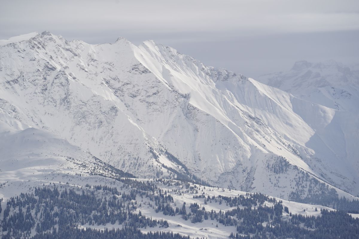
Alberta's PLUZ pages carry a warning that should stop you: "PLUZs are not controlled for avalanches, be prepared to properly manage avalanche-related risk when travelling through this area."
Avalanche Canada's requirement is not a suggestion: "Everyone in your group needs an avalanche transceiver, a shovel, and a probe. One or two of the three isn't good enough, you've got to have them all" (Avalanche Canada). Training starts with AST 1, a minimum two day course, and Avalanche Canada runs sled-specific curriculum including the Throttle Decisions video series and an AST Handbook Sled Version. Their advice on riding in elevated danger is practical rather than absolutist: "sledding can be as much fun on the flats and in meadows, so it's possible to have a good day out while avoiding avalanche terrain on days where the danger is elevated."
Now the data, and it is uncomfortable. The Canadian Avalanche Association's Avalanche Accidents in Canada Volume 5, covering 1997 to 2007, remains the most recent published activity breakdown we could source. It found that "On average, there were 12.6 avalanche fatalities in 8.9 recreational accidents per winter," that "about a third involve snowmobilers," and that "76% of the fatal recreational avalanche accidents took place in British Columbia, 18% in Alberta." Snowmobile riding alone accounted for 33 fatal accidents and 37 fatalities over that decade.
The gear gap is the finding that should change behaviour. Transceiver carriage among accident party members was 100 percent for mechanized skiers and 92 percent for backcountry skiers, but "their use was considerably lower in snowmobile riders (38%)", and snowmobiling was "the only activity where only some of the accident party members were carrying avalanche transceivers." A partial group is not a rescue team. The same report found 96 percent of fatal accidents occurred where slopes were steeper than 30 degrees, and 92 percent of the avalanches were human triggered.
For broader perspective, Statistics Canada reports that "On average, 73 snowmobile deaths occur every year in Canada" over 2013 to 2019. Of single-vehicle fatal events, collision with a stationary object accounted for 49 percent, submersion 14 percent, ejection 14 percent, avalanche 10 percent and rollover 6 percent. Contributing factors: alcohol or drug use in 49 percent, excessive speed in 34 percent, evening or night riding in 35 percent.
Read that list again. Avalanches are 10 percent. Trees, water and alcohol are most of the rest.
Checking before you load, and knowing the trail on the trail
The province publishes its own pre-trip checklist and it is four items: road conditions at 511 Alberta, snow conditions on the Avalanche Canada map, trail and area closures on the public land closures and advisories pages, and weather from the Government of Canada. There is also a 24 hour line, 310-LAND, or 1-833-310-5869 from outside Alberta.
Live examples of why that matters: as of late August 2026 the Livingstone PLUZ had a temporary closure on 8 km of Dutch Creek Road and a partial closure of the York Creek staging area, and Kiska/Willson had a closure at Whitegoat Falls. The Bighorn Backcountry carries an annual vehicle restriction on Abraham Lake from April 30 to December 1, with a $300 fine and tow bills averaging $1,500 for getting it wrong (public land closures).
One clarification on a rumour. There is no caribou range snowmobile closure listed on Alberta's public land closures page. What exists is the Upper Smoky Sub-Regional Plan, which creates a "Slow-go zone" covering the Narraway and Redrock-Prairie Creek southern mountain caribou ranges and "enables a diversity of land uses with some restrictions." No snowmobile-specific rule is stated, so check 310-LAND rather than assuming either way.

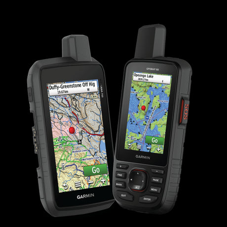
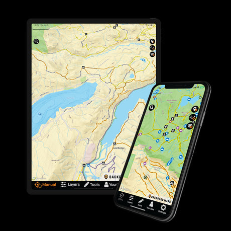
Once you are out there, the map is the difference between a designated trail and a $300 conversation. The snowmobile and winter layers in the BRMB Maps app show trail networks and staging areas against terrain and PLUZ boundaries with your GPS position on the same screen, which is exactly what "stay on designated trails" requires you to know. Offline download is a PRO feature, and the province's own advice supports it: "Alberta's backcountry may not have cellphone service. Carry satellite communication equipment in case of an emergency."
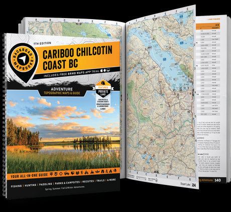
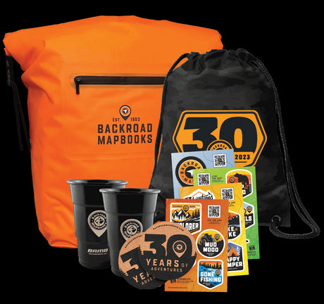
Plan the route on BRMB's Alberta layers before you hook up the trailer, and carry the Alberta Backroad Mapbook bundle as the paper backup. If the sled is part of a broader winter trip, our guide to ice fishing in Alberta covers the ice thickness rules that apply the moment you leave the bank.
What the registration numbers say
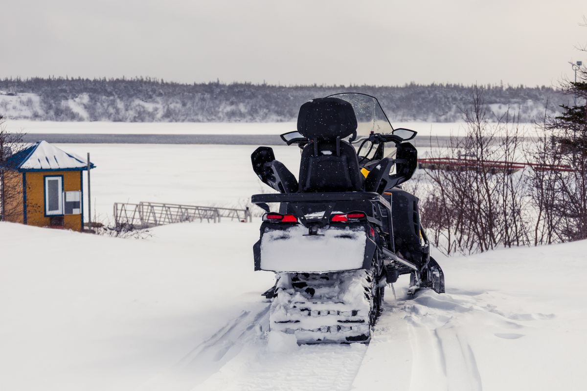
Alberta had 25,963 registered snow vehicles as of March 31, 2025, up from 24,113 in 2024 but down from 33,748 in 2021. Total Alberta off-highway vehicle registrations were 95,648 in 2024, so snowmobiles are about a quarter of the OHV fleet.
Note that the ASA's About page carries an estimate of "140,000 snowmobiles in Alberta," which is more than five times the official registration count. Treat that as an undated association estimate of machines in existence rather than a registration or ownership figure.
On the economics, the only Alberta specific study we could source is old but sourced: a 2009 economic impact study estimated $336.5 million as the annual economic impact of snowmobiling in Alberta, with all three levels of government sharing over $142 million in taxation revenue. Nationally, snowmobiling generates over $8 billion in annual spending across Canada.
FAQ
Do you need a trail pass to snowmobile in Alberta?
No. Alberta has no mandatory province-wide trail pass, unlike Ontario's OFSC permit or Manitoba's Snopass. Alberta Snowmobile Association membership is voluntary at $80 to $90 a year, or a $25 day pass covering two days, and it funds grooming.
What insurance do you need for a snowmobile in Alberta?
Valid insurance is mandatory for use on public land or highways, and the Insurance Act sets a minimum third party liability limit of $200,000 per accident. No insurance or registration is required on your own private property.
Can you ride a snowmobile in the ditch in Alberta?
No, not unless permission has been expressly granted for that stretch by ministerial order or municipal bylaw. The legal definition of highway includes the ditch alongside the roadway. Crossing a highway is allowed if you stop first, dismount passengers, yield and take the shortest route.
Can you snowmobile in Kananaskis Country?
Not in the Kananaskis PLUZ itself, which states that snow vehicles are not permitted. The designated alternatives are the Cataract Creek Snow Vehicle PLUZ, the Elbow Loop Snow Vehicle Trail, McLean Creek Off-Highway Vehicle PLUZ and the Sibbald Snow Vehicle PLUZ. A Kananaskis Conservation Pass is required to park for Sibbald and Cataract Creek.
What avalanche gear do snowmobilers need in Alberta?
Avalanche Canada requires that everyone in the group carries a transceiver, a shovel and a probe, and recommends AST 1 training with sled-specific material available. Alberta's PLUZ pages state that these zones are not avalanche controlled.
Wrap up
Alberta gives you an unusual amount of freedom and puts the responsibility back on you. No trail pass, but registration, insurance, a CSA helmet and an operator aged 14 or over are legal requirements. Public land outside a PLUZ is open, but inside a PLUZ you stay on designated trails, and those zones open and close on fixed dates that vary from December 1 to January 1 and close anywhere from March 1 to April 30.
Buy the ASA membership anyway, because somebody is grooming those 6,000 plus kilometres for free. Carry all three pieces of avalanche gear, not two. And check the four things the province tells you to check before you leave: roads, snow, closures and weather.
Plan the route, staging areas and PLUZ boundaries on BRMB Maps, then download the area for offline use, a PRO feature, because the province's own advice is to assume no cell service and carry satellite communication. Start planning on the BRMB Maps Explore Canada hub.