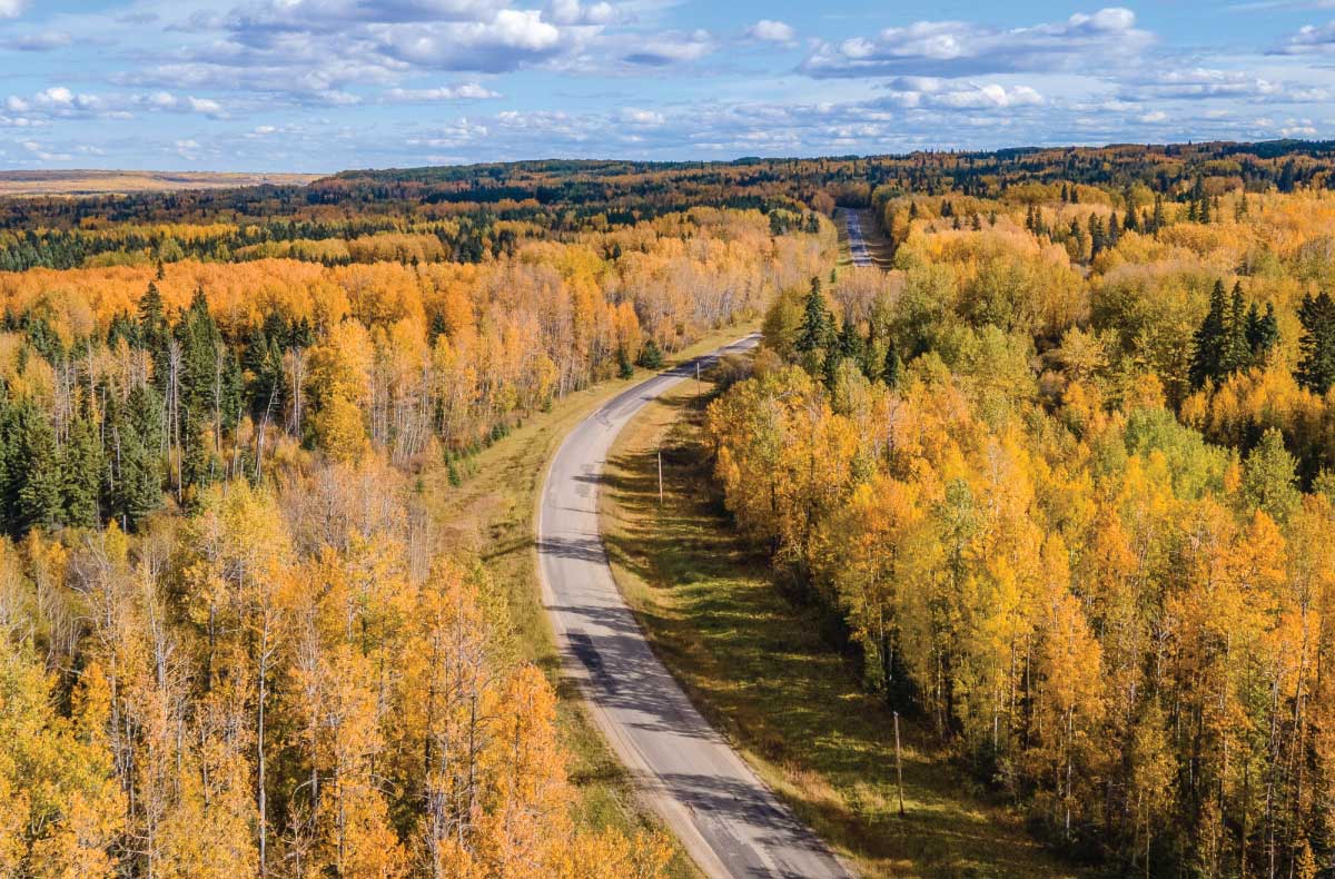
Alberta offers nearly every kind of off-road riding imaginable, from expansive sand dunes and open grasslands to boreal forest, rugged backcountry and the rolling foothills of the Rocky Mountains. With thousands of kilometres available to ATV, side-by-side, OHV and dirt bike riders, deciding where to begin can be a challenge. To help you make the most of your time on the trails, here is our updated 2026 selection of Alberta’s best ATV riding destinations.
Know Before You Go
ATV and OHV access varies across Alberta, particularly within Public Land Use Zones (PLUZs), where motorized vehicles may be restricted to designated trails, vehicle types, widths or seasons. Before heading out, check current trail maps, closures and area-specific regulations. OHVs used on Alberta public land must also meet provincial registration, insurance and equipment requirements.
Alberta Iron Horse Trail
The Alberta Iron Horse Trail is ideal for riders who favour relaxed touring, community stops and multi-day travel. Built largely on former railway grades, the 300 km (180 miles) route crosses farmland, wetlands and boreal forest while linking small northeastern Alberta communities where riders can find fuel, food and accommodations. Moderate grades make it approachable for families and less experienced operators, although long distances still require planning.
Bighorn Backcountry – Hummingbird and Nordegg
For riders seeking a true Rocky Mountain backcountry experience, the Bighorn country west of Rocky Mountain House is hard to beat. Routes around Hummingbird and Nordegg cross foothill forests, rocky benches, creek valleys and exposed ridges with sweeping mountain views. Conditions range from relaxed gravel travel to steep, technical sections that demand experience and recovery gear. Carry fuel, navigation, emergency supplies and clothing for rapid weather changes. Motorized access varies throughout Bighorn Backcountry, so check the current PLUZ map, seasonal restrictions and trail designations before unloading.
Brule Lake Sand Dunes
Brule Lake Sand Dunes near Hinton delivers a riding experience unlike almost anywhere else in Alberta. Open sand, rolling bowls and steep dune faces sit beneath the eastern slopes of the Rockies, creating a spectacular playground for experienced sand riders. Machines perform best with suitable tires, reduced pressure and careful attention to engine temperature and air filtration. The dunes contain abrupt drop-offs and soft recovery zones, making flags and group travel wise. OHV use within the Brule Lake PLUZ is limited to designated trails, so riders should check the current PLUZ map before heading out.

Brule Lake Sand Dunes on BRMB Maps
Crowsnest Pass and Livingstone PLUZ
The Crowsnest Pass and adjoining Livingstone country combine dramatic mountain scenery with an extensive designated trail system. Riders travel through old mining landscapes, forests, open foothill ridges and high passes, with routes ranging from scenic touring to rocky climbs and technical side trails. Local communities provide fuel, food, camping and repair services, making the area well suited to a multi-day trip.

Ghost-Waiparous PLUZ
The Ghost–Waiparous backcountry offers rugged riding within easy reach of Calgary and Cochrane. Forestry roads and designated trails lead through wooded valleys, rocky creek beds, cutlines and foothill viewpoints, with conditions that can change quickly after rain or spring runoff. Capable machines, aggressive tires and recovery equipment are recommended for the more technical routes. The network is shared by many recreation users, so control speed and expect traffic.
High Level
High Level offers a little something for everyone: forests, meadows, open plains, dunes, hills or a combination of all of the above, with muskeg, mud and standing water quickly changing riding conditions! The area around the community is home to Crown land with plenty of cutlines, seismic lines and wagon trails to explore. Riders can head southeast towards La Crête and the Machesis Lake Recreation Site or head northwest to Hutch Lake and Watt Mountain. The area suits experienced, well-prepared riders carrying navigation, recovery and emergency gear, with fuel range and limited services taken into consideration before departure.
Lakeland Provincial Park
Lakeland Provincial Park and Recreation Area provides a distinctly boreal backcountry ride east of Lac La Biche. There are well over 140 km (87 miles) of designated motorized trails reaching Jackson, Dabbs, Blackett and Helena lakes running through mixed wood forest, muskeg and wet lowlands, with boardwalks protecting sensitive sections. The Trans-Canada Pipeline Trail cuts across the park boundary, and there are numerous staging areas offering remote lake scenery, wildlife and access to designated backcountry campsites.

Northern Alberta Backroad Mapbook, page 12
McLean Creek OHV Area
Just west of Calgary, McLean Creek is one of Alberta’s best-known OHV destinations. Its dense network covering hundreds of kilometres mixes forest roads, mud holes, roots, rock ledges, creek crossings and steep climbs, providing options for ATVs, side-by-sides and dirt bikes of different skill levels. There are two staging areas, one at McLean Creek Recreation Site and another at the Fisher Creek Recreation Site, and along with nearby camping make a weekend easy to organize, but the area becomes busy during holidays and wet weather can transform familiar trails.
Porcupine Hills PLUZ
Porcupine Hills is an appealing Southern Alberta destination for riders who prefer open foothill scenery and a quieter atmosphere than the busier Calgary-area trails. Trails cross forested ridges, grassy openings, creek valleys and elevated viewpoints, with surfaces ranging from gravel and firm soil to mud, roots and loose rock. Weather can make routes considerably harder, particularly during spring runoff.

Southern Alberta Backroad Mapbook, page 11
Sundre
Sundre is a convenient base for ATV adventures in Alberta’s eastern slopes, with an extensive network of thousands of kilometres of trails west of town. Riders can explore the Rocky Mountain foothills along forested tracks and the Forestry Trunk Road corridor, encountering creek crossings, loose rock, mud, muskeg and steep climbs as conditions change. Nearby staging and camping options make the area suitable for day rides or longer backcountry trips.
Wapiti Sand Dunes and Grande Prairie
South of Grande Prairie, the Wapiti riding area combines sand dunes, boreal forest and technical trail networks into one of northern Alberta’s leading OHV destinations. Riders can move from open sandy terrain to wooded singletrack, cutlines, mud and rolling river-valley country, making the area attractive to ATV, side-by-side and dirt bike users. With multiple staging locations, riders have the option to enjoy a day trip or extend the ride into a full weekend outing.
Whitecourt-Fox Creek-Swan Hills
The Whitecourt, Fox Creek and Swan Hills region offers long-distance forest riding for visitors who value exploration and mileage. There are hundreds of kilometres of community trail networks, resource roads and multi-use corridors passing through boreal forest, wetlands and rolling uplands, with services available in several nearby towns. The landscape suits touring-style ATVs and side-by-sides, but mud, industrial traffic and remote stretches require rider preparation. Not every portion of the winter Golden Triangle system is authorized or maintained for summer OHV use, so confirm legal routes with local riders before setting out.

Alberta’s ATV and OHV opportunities extend far beyond these 12 destinations, from designated trail systems in the foothills to remote northern routes and community trail networks. Before heading out, check current access and trail conditions, plan your route and download the maps you’ll need for areas without cell service.
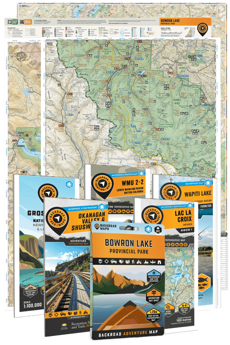
For trip planning, explore our Alberta Backroad Mapbooks, Backroad GPS Maps, or use the Backroad Maps app & web map to research roads, trails, recreation sites and other points of interest across the province.
Browse all Alberta Maps Learn more about ATV/OHV Trails map coverage