


September 29, 2026
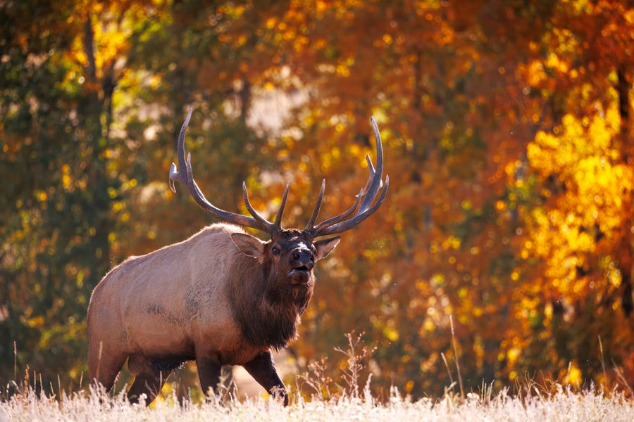
Elk Hunting in British Columbia: Regions, Six Point Rules & Access Roads (2026 Guide)
Elk hunting in British Columbia splits two ways: a general six point bull season in the Kootenay and the Peace, and a limited entry draw ...

WMU 7-40 Hunting Bundle - Omineca Region BC (4 maps)
This hunting map bundle includes 4 individual topographic maps covering this zone. Printed at a 1:85,000 scale, these maps feature clearly marked Wildlife Management Units, along with private land areas and motorized and hunting-restricted areas. Updated road and trail systems, recreational points of interest, campsites, fish species, and more make these the most detailed hunting maps available on the market. Management Unit 7-40 runs north from the upper end of Williston Lake, past Kwadache or Fort Ware, with Pelly Creek to the west and the Fox and Finlay Rivers to the east acting as boundaries.
This hunting map bundle is available in print and includes Backroad TOPO maps for Northern BC (NOBC) 80, 81, 90, and 91.
Showing articles tagged “British Columbia”
September 29, 2026

July 23, 2026


June 19, 2026
May 10, 2026

Scale
Area
Dimensions
Pages
Release
Features