Summary: Overlanding in BC means driving the province's enormous network of forest service and resource roads to reach free Crown-land camping most people never see. There are roughly 58,000 km of forest service roads to work with, dispersed camping is free for up to 14 days, and the biggest risks are active logging trucks and no cell service. Here are the best routes and how to run them safely.
British Columbia might be the best overlanding province in the country, and most of it is hiding on roads that do not show up on a standard map.
Backroad Maps has charted these roads for more than 30 years. The province holds roughly 58,000 km of forest service roads, part of a resource-road system that runs to about 620,000 km, and nearly all of it sits on Crown land you are free to travel and camp on (Office of the Auditor General of BC). About 94 percent of BC is Crown land. That is the playground.
"There are approximately 58,000 kilometres of FSRs in B.C., which is almost 10 times the distance between Victoria and Halifax." (Office of the Auditor General of British Columbia)
The freedom is real. So are the hazards. Here is how to do it right.
Key takeaways
- BC has about 58,000 km of forest service roads on Crown land, free to travel and open to dispersed camping.
- Dispersed camping on Crown land is free for up to 14 consecutive days in one spot, no permit needed.
- Forest service roads are built for logging trucks, not tourists. Loose gravel, no guardrails, and active hauling are the norm.
- Carry a radio and call your kilometre and direction. Bring a satellite communicator, because there is no cell coverage on the roads worth driving.
- A map that shows road classification, logging versus resource versus maintained roads, tells you what you are getting into before you commit.
What overlanding in BC actually is
Overlanding is vehicle-based travel where the journey is the point: you drive remote roads, camp where you end up, and stay self-sufficient for days. In BC that almost always means forest service roads (FSRs) and other resource roads, the gravel network built to haul timber and access industry across the backcountry.
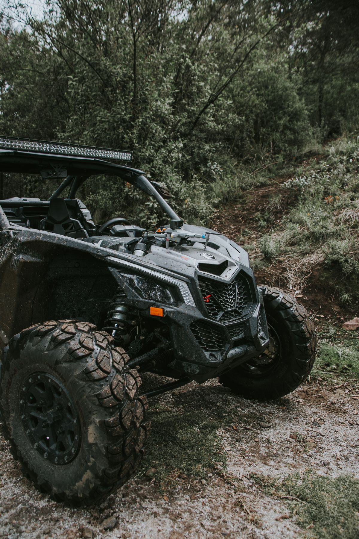
These roads are public. You can drive them in any capable vehicle, and a standard licensed 4x4 needs no special permit to travel an FSR. But they were never built for you. As the province's Auditor General put it, forest service roads "aren't built or maintained to the same standard as roads intended for public use," with "gravel surfaces," "tighter curves and steeper road grades than are found on public highways," and hazards including "loose gravel surfaces, potholes, changing road surface conditions, poor visibility, large industrial vehicles" (Office of the Auditor General of BC).
Roughly 30,000 km of those 58,000 km are maintained by industry road-use permit holders. The rest fall to government or nobody in particular. Translation: maintenance is not guaranteed, and a road that was graded last month can be washed out today.
Plan your route and see the road network on BRMB's British Columbia layers before you commit to a destination.
The rules: camping, radios, and registration
Dispersed camping is free, up to 14 days. You can camp on unreserved Crown land for up to 14 consecutive days in one location, with no fee and no permit for short-term recreational use (Government of BC). What is off-limits: provincial parks (they have their own reservation system), some recreation sites that charge fees, active forestry and range tenures, and sensitive or riparian areas. Recreation Sites and Trails BC manages more than 1,700 recreation sites and over 500 trails across the province, and many of the semi-developed sites with a fire ring and a pit toilet are exactly what overlanders use (Recreation Sites and Trails BC).
Learn the radio protocol. This is the rule that keeps you alive. Active FSRs use a bank of 49 dedicated resource-road channels, 35 road channels and 14 loading channels, and drivers call out their position so they do not meet a loaded logging truck head-on in a blind corner. You call the road name, your kilometre marker, and your direction of travel, and you do it at least every 2 km (Government of BC). The channel posted at the road's entrance is the one that governs, and signage on the ground always beats what is on any map. Most roads are radio-assist, not radio-controlled, so you still drive defensively and never rely on the radio alone.
Register your ORV, if you bring one. If you are trailering an ATV, dirt bike, or side-by-side to explore beyond the truck, it must be registered under the Off-Road Vehicle Act, with an ICBC plate, which has been mandatory since November 2015 and costs around $48 (Government of BC). Your licensed highway truck does not need this to drive an FSR.
Watch the speed and the officers. Inside recreation sites the limit is 20 km/h, and more than 150 Natural Resource Officers enforce Crown-land rules across the province.
The best routes and regions
BC's overlanding splits into iconic drives and hard-core trails. A mix to build a trip around:
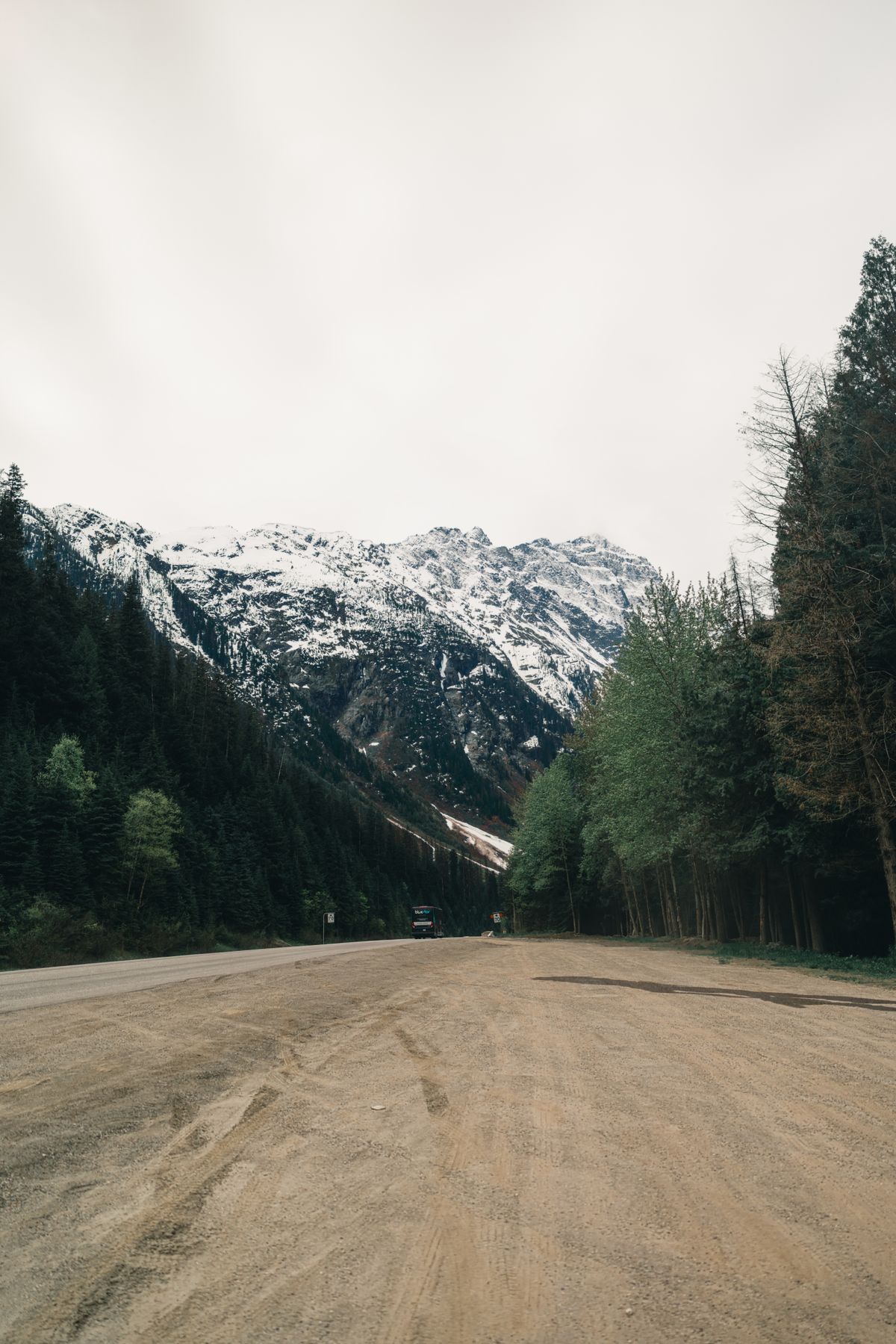
Highway 20 and "The Hill," to Bella Coola. This is the signature BC backroad drive, not a technical trail. From Heckman Pass, the road drops about 1,666 m to sea level, including a gravel section with grades up to 18 percent, single lanes, switchbacks, and no guardrails. It is drivable in a stock vehicle with good brakes and nerve, and it is one of the great road trips in Canada.
Chilcotin Plateau and the Cariboo. Off the Highway 20 corridor, a huge network of gravel FSRs branches into ranch-and-forest country with classic dispersed lake camping and long gaps between services. This is fuel-planning territory.
Whipsaw Trail, near Princeton. The best-known dedicated 4x4 overland route in the southern Interior: mud, water crossings, steep climbs, and rock sections, with easier and harder line options. Moderate to difficult, and worth confirming current access and seasonal status before you go, since popular routes like this see closures.
Kootenay Rockies FSR networks. The southeast corner is laced with interconnecting resource roads and recreation sites, ideal for multi-day loops with a lot of camping choice.
Coquihalla-area FSRs. Resource roads branching off the Coquihalla corridor near Hope and Merritt make the most accessible weekend overnights from the Lower Mainland.
Big Bar and Fraser Canyon backroads. Remote river-access roads in the Cariboo and Fraser Canyon, seasonal and prone to washouts, so check current conditions on DriveBC before committing to specifics.
One to approach carefully: the historic Alexander Mackenzie Heritage "Grease" Trail from the Prince George area to Bella Coola is largely a hiking and heritage route, not a continuous drivable overland road. Do your homework before you treat it as a driving objective.
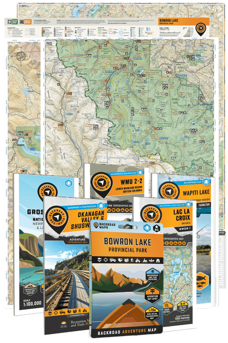
These regions map cleanly onto BRMB's BC coverage. The British Columbia Backroad Mapbook bundle splits the province into six books, from Vancouver Island to Northern BC, and marks logging roads, campgrounds, and trails the highway maps leave off.
The gear and habits that matter
Overlanding punishes the unprepared, and BC punishes it fast.
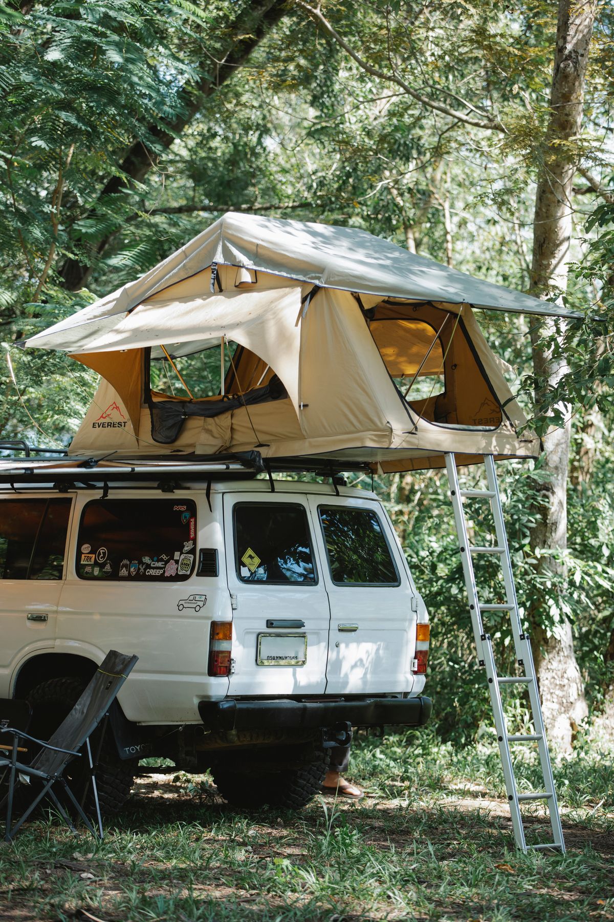
A two-way radio, tuned to the right channel. Program the resource-road channels, read the sign at the road entrance, and call your position. You are sharing single-lane gravel with trucks that cannot stop for you.
A full-size spare, ideally two, plus a plug kit and compressor. FSR gravel is sharp, angular rock, and sidewall cuts are the number-one thing that ends a trip. Air down for washboard and air back up for the highway.
A satellite communicator. Cell coverage on the Crown land worth camping on is effectively zero. An inReach, ZOLEO, or PLB, plus a trip plan left with someone at home, is standard practice, not overkill.
Fuel range planning. Distances between fuel in the Chilcotin, Cariboo, and Northern BC are long. Plan for the full loop plus a reserve, and carry a jerry can.
Road-status checks, before and during. Resource roads deactivate, wash out, and close for active hauling. Check DriveBC for the highway network, and use a map that shows the backroads at road-classification level for everything beyond it. This is where the BRMB Maps app earns its place: it shows "logging roads, resource roads, ATV trails, and maintained roads separately, so you can actually see what kind of access you're working with before you commit to a destination" (Backroad Maps).
Fire discipline. Keep campfires small, roughly half a metre square, keep 8 litres of water and a hand tool at the fire, and never light in strong wind. Check the current fire prohibitions before every trip at the BC Wildfire Service fire bans page, because a ban can land between planning and arriving.
Reading the map before you commit
The core skill in BC overlanding is knowing what road you are about to drive before your front tires are on it. A "road" on a basic map might be a graded two-lane gravel FSR or a deactivated, overgrown spur with a washed-out bridge. Guess wrong and you are reversing 5 km on a shelf road.
The BRMB Maps app is built for this. Its road-classification layer separates maintained roads, resource roads, logging roads, and trails so you can plan a route your vehicle can actually handle. In BC it also carries a private-land layer, which matters when a backroad crosses a block of deeded or tenured land. And because you can download map areas for offline use with a PRO subscription, you keep all of it on screen where there is no signal, which is most of where you are going (Backroad Maps).
Common mistakes to avoid
Treating an FSR like a highway. They are gravel industrial roads with blind corners and log trucks. Slow down and call your position.
No radio, or the wrong channel. The channel is posted at the entrance for a reason. Not having one on an active haul road is genuinely dangerous.
Relying on your phone. No signal means no map, no GPS, and no help. Download offline maps and carry a satellite communicator.
Underestimating fuel and tires. The two things most likely to strand you. Plan range and carry real spares.
Skipping the fire and road-status check. Bans and closures change daily in summer. Check the morning you leave.
FAQ
Do I need a permit to drive forest service roads in BC?
No. Forest service roads are public, and a standard licensed vehicle can drive them without a permit. If you bring an ATV, dirt bike, or side-by-side, that off-road vehicle must be registered with ICBC under the Off-Road Vehicle Act.
Is Crown land camping free in BC?
Yes. Dispersed camping on unreserved Crown land is free for up to 14 consecutive days in one location, with no permit for short-term recreational use. Provincial parks, some recreation sites, and active tenures are excluded.
How long can I camp on Crown land in BC?
Up to 14 consecutive days in one spot. After that you are expected to move on, which keeps sites available and prevents long-term occupation.
What vehicle do I need for overlanding in BC?
A capable 4x4 with good ground clearance and proper tires handles most forest service roads and the iconic drives like Highway 20. Dedicated trails like the Whipsaw need more clearance, recovery gear, and experience. Match the route to the vehicle using a road-classification map.
How do I stay safe on active logging roads?
Carry and use a two-way radio on the posted resource-road channel, call your road name, kilometre, and direction at least every 2 km, drive slowly on the right, and yield to loaded trucks. Assume every blind corner has a truck coming.
Wrap up
BC's backroads are a lifetime of overlanding, and they are open to anyone willing to respect them. Pick a route that fits your vehicle, learn the radio protocol, carry real recovery gear and a satellite communicator, and check the fire bans and road status before you roll.
See the road classification, private-land boundaries, and Crown-land access on BRMB Maps before you go, then download the maps for offline use (a PRO feature) so you can still navigate where the signal quits, which is most of the good part. Start planning on the BRMB Maps Explore Canada hub.