SOAB2 Wall Map - Waterton Lakes National Park
Southern Alberta
$4995
Unit price
/
Unavailable
Couldn't load pickup availability
Scale & Dimensions
Scale & Dimensions
Map Scale: Created at
Note: In case of multiple options, the actual map scale will vary depending on the wall map size you choose.
Dimensions: 61 x 94 cm/24 x 37 inches
Area Covered
Area Covered
This map includes
Map Features
Map Features
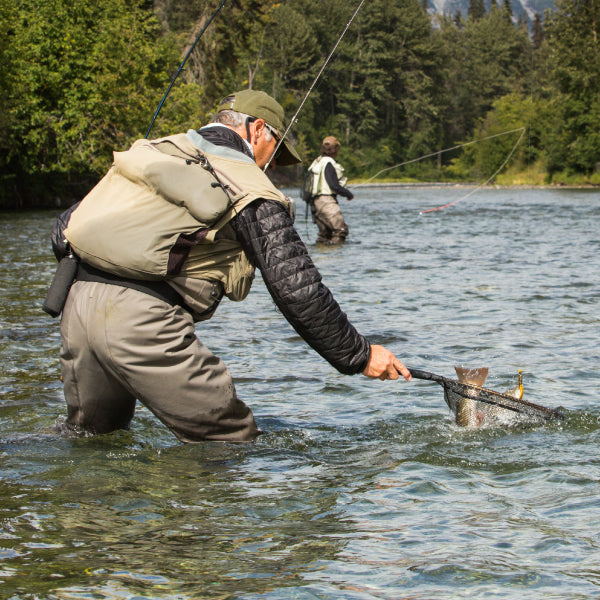
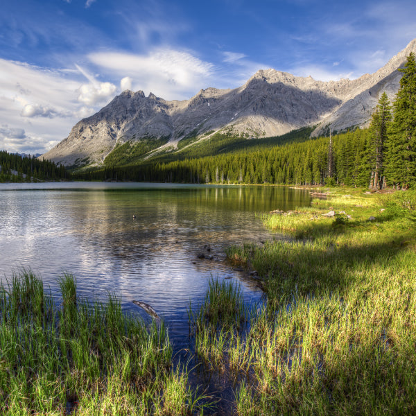
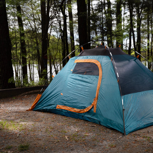
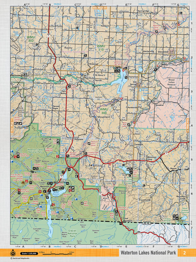
This recreation topographic map for the Waterton Lakes National Park area highlights all the logging and resource roads, multi-use trails for hikers, mountain bikers, horseback riders, cross-country skiers and snowshoers, motorized trails for ATVers and snowmobilers, fishing lakes and rivers, recreation areas, campgrounds, day-use areas, viewpoints, backcountry campsites, work camps, oil & gas sites, backcountry huts and cabins and more. No other map for the area provides you with this level of recreational or topographic detail. Covering 2,465 km2 (950 mi2) in total, this 1:75,000 scale map measures 43 x 57 km (27 x 35.5 mi). Special features include Crown Forest Management Areas, Public Land Use Zones, labelled fish species, enhanced oil & gas data and countless roads, trails and recreational Points of Interest. This map includes Waterton Reservoir, Waterton Lakes National Park, Blood Indian Reserve, Payne Lake, Beazer, Police Outpost Prov Park, Yarrow, Belly River, Waterton River, Glenwood and more! This map also covers the following Wildlife Management Units: WMU 110 - Brocket, WMU 300 - Mountain View, WMU 302 - Pincher Creek, WMU 400 - Castle-Carbondale. Waterton Lakes National Park - Southern Alberta comes printed on waterproof synthetic material for extra durability.
The Wall Map Format
The Wall Map version of this map features a minimal layout to display nicely to fit into common picture frame sizes so you can hang it on the cabin, home or workshop wall.
All maps come printed on waterproof synthetic material for extra durability.