
October 09, 2026
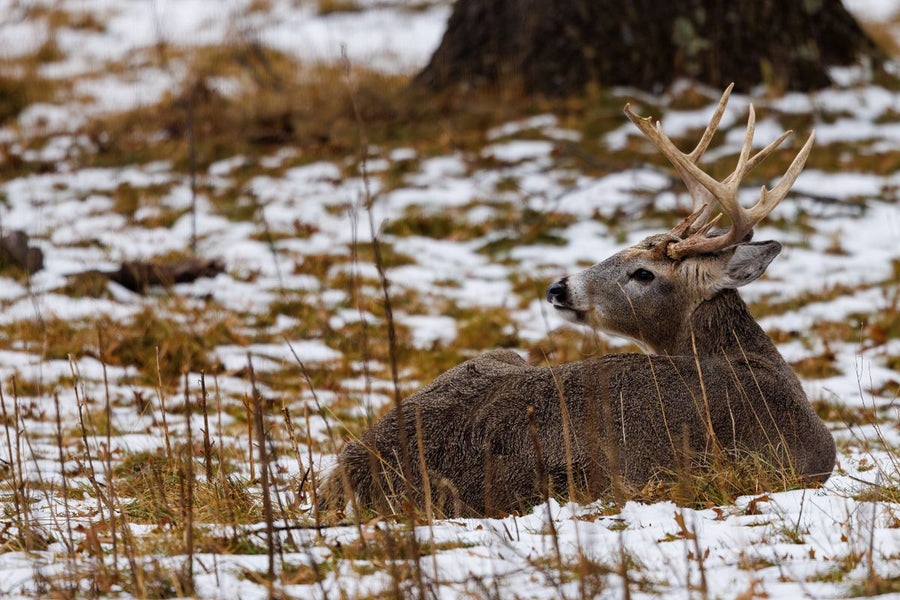
Whitetail Deer Hunting in Saskatchewan: Zones, Rut Timing & the 2026 Buck Only Change
Saskatchewan residents do not need a draw for whitetail, but 2026 brought a real change: the Grassland zones are now buck only with a rif...



Couldn't load pickup availability
Map Scale: Created at
Note: In case of multiple options, the actual map scale will vary depending on the wall map size you choose.
Dimensions: 61 x 94 cm/24 x 37 inches
This map includes
This recreation topographic map for the Big Muddy area highlights all the logging and resource roads, multi-use trails for hikers, mountain bikers, horseback riders, cross-country skiers and snowshoers, motorized trails for ATVers and snowmobilers, fishing lakes and rivers, recreation areas, campgrounds, day-use areas, viewpoints, backcountry campsites, work camps, oil & gas sites and more. No other map for the area provides you with this level of recreational or topographic detail. Covering 4,450 km2 (1,620 mi2) in total, this 1:100,000 scale map measures 58 x 77 km (36 x 48 mi). Special features include the addition of Oil & Gas information including gas plants, disposal and compressor stations and updated seismic line corridors, the addition of Municipal Regional District Boundaries, new lake data and more. This map includes Bengough, Big Muddy Lake, Salt Lake, Ogema Regional Park, Ceyon Regional Park, West Corteau Lake and more! This map also covers the following Wildlife Management Units: WMZ 1, WMZ 15, WMZ 18. Big Muddy - Saskatchewan is printed on demand at our office in Coquitlam (BC) and measures 61 x 94 cm (24 x 37 inches).
Want the whole book?
Get the whole book in one easily downloadable format from here: Shop Map Bundles
Only interested in one or two maps?
Get the individual TOPO PDF Maps from here: Shop Individual Maps

The TOPO Maps series lets you select any map from our Backroad Mapbooks collection, enlarged for a clearer and more detailed view of your area. These High-Detail Maps feature industry-leading topographic relief, making them ideal for your hunting, paddling, hiking, or camping trips.
Each map measures 24” by 37” flat and folds to a compact 4.25” by 9.25”. Printed on a waterproof synthetic material for extra durability.
Starting at 1:50,000 scale with shaded relief and contour lines. Features UTM and Latitude/Longitude grid, along with a map location grid and scale bar for easy and accurate navigation.
Customizable map areas are available by request: contact us for special TOPO requests such as custom map areas, adding features or other customization requests at info@backroadmapbooks.com
Showing articles tagged “Saskatchewan”
October 09, 2026

October 05, 2026

September 09, 2026

July 31, 2026

April 28, 2026

April 28, 2026

Scale
Area
Dimensions
Pages
Release
Features