

July 23, 2026
Overlanding in British Columbia: Best Backroad Routes & How to Do It Right (2026 Guide)
Overlanding in BC means driving the province's enormous network of forest service and resource roads to reach free Crown-land camping mos...

Couldn't load pickup availability
Map Scale: Created at
Note: In case of multiple options, the actual map scale will vary depending on the wall map size you choose.
Dimensions: 2 Options Available
This map includes
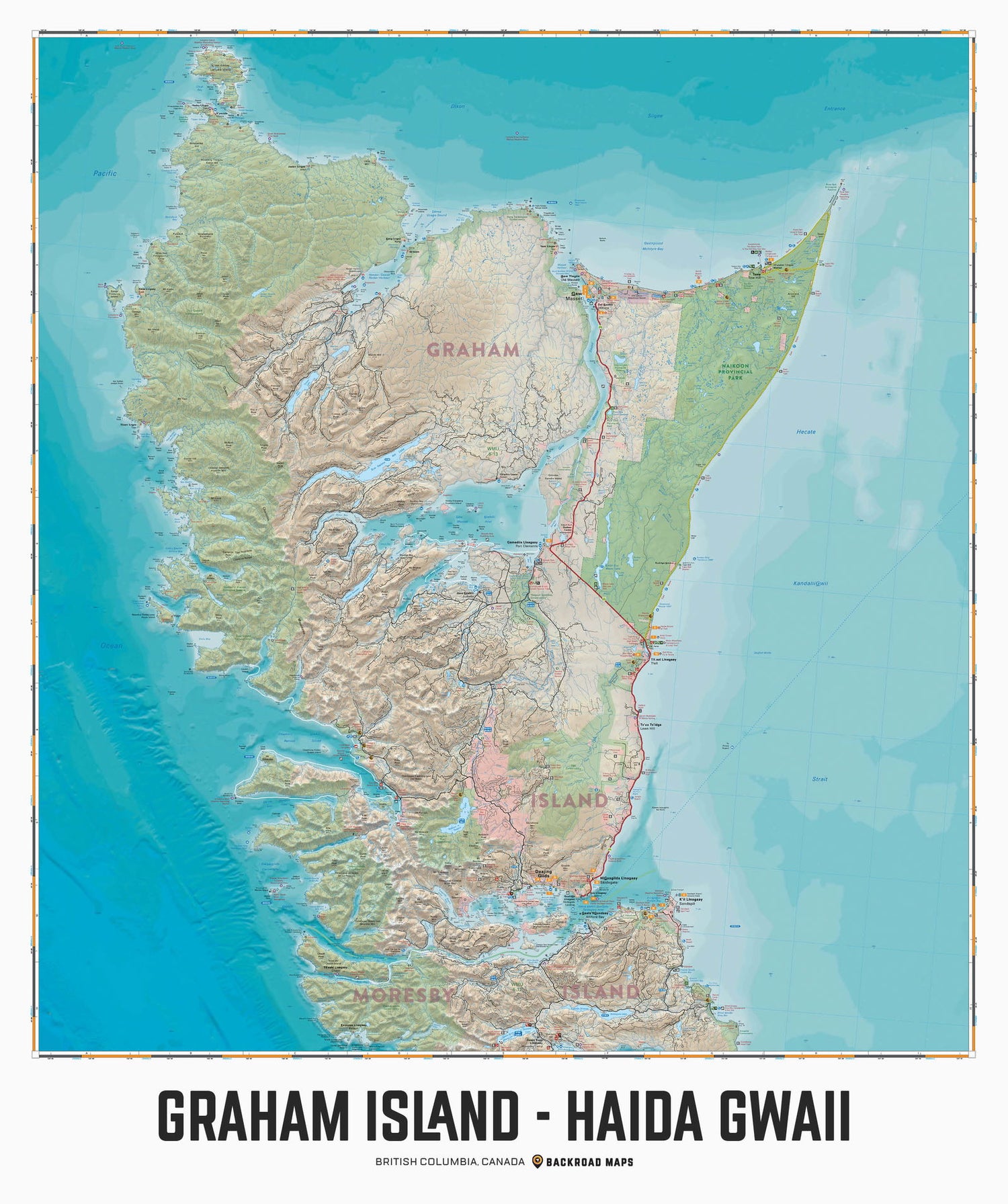
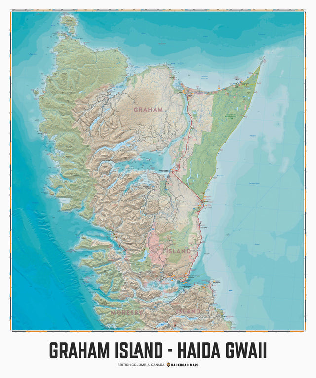
Covering all of Graham Island on Haida Gwaii, this custom designed map has been created to display nicely on your home, cabin or office wall. The map has been produced using the ever-popular Backroad Mapbook series of maps and showcases this popular area of British Columbia, Canada like never before. Featuring all the roads, trails and recreational hot spots in and around Graham Island, this map has been modified to fit nicely into common picture frame sizes. Printed on a durable synthetic material, the map includes Graham Island, Haida, Langara Island, Masset, Naden Harbour, Naikoon Provincial Park, Port Clements, Queen Charlotte City, Rennell Sound, Sandspit, Skidegate, Tlell and more!
The Wall Map version of this map features a minimal layout to display nicely to fit into common picture frame sizes so you can hang it on the cabin, home or workshop wall.
All maps come printed on waterproof synthetic material for extra durability.
Showing articles tagged “British Columbia”
July 23, 2026


June 19, 2026


March 04, 2026
Scale
Area
Dimensions
Pages
Release
Features
Format