


September 29, 2026
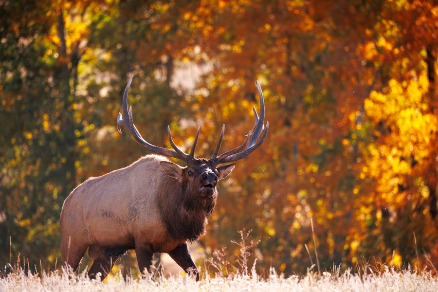
Elk Hunting in British Columbia: Regions, Six Point Rules & Access Roads (2026 Guide)
Elk hunting in British Columbia splits two ways: a general six point bull season in the Kootenay and the Peace, and a limited entry draw ...



Couldn't load pickup availability
ISBN: 978-1-989175-56-9
UPC: 622098111736
Release: 2025
Edition: 2nd Edition
Dimensions: 5x8.25 inches (folded) / 27.8×39.4 inches (unfolded)
Map Scale: 1:110,000 Scale
Double-Sided
Strathcona Provincial Park BC - Park Map
1:110,000 Scale
Large Format
5x8.25 inches (folded) / 27.8×39.4 inches (unfolded)
Waterproof & Tear-Resistant
Covering all of Strathcona Provincial Park on Vancouver Island, this British Columbia topographic recreation map highlights all the access roads and trails for hikers, bikers, skiers and backcountry enthusiasts. Showcasing frontcountry and wilderness campsites, huts and cabins, picnic sites, recreation sites, viewpoints, waterfalls, climbing areas and fishing lakes and rivers, there is a lifetime of outdoor adventures to be found here.
This map features our industry-leading topographic contours and relief shading, as well as roads, recreation sites and trails and ATV and snowmobile areas outside the park. Included on the map are Campbell River, Courtenay, Gold River, Bedwell River, Buttle Lake, Comox Glacier, Della Falls, Forbidden Plateau, Mount Washington Ski Area, Myra Falls, Oyster River, Upper Campbell Lake and more! No other map covers all of Strathcona Provincial Park with this level of recreation detail.
The printed version of the map is displayed at 1:110,000 scale on 5x8.25 inches (folded) / 27.8×39.4 inches (unfolded) paper on a durable waterproof synthetic material.
Showing articles tagged “British Columbia”
September 29, 2026

July 23, 2026


June 19, 2026


Scale
Area
Dimensions
Pages
Release
Features