

Maps for Vancouver Island BC

Maps for Vancouver Island BC

Explore Vancouver Island BC with the right maps for every adventure. Whether you’re new to the area, looking for must-see destinations, browsing on the go, or seeking detailed topo maps, we have the perfect map for you.

View as

  • Find your Maps for Vancouver Island BC

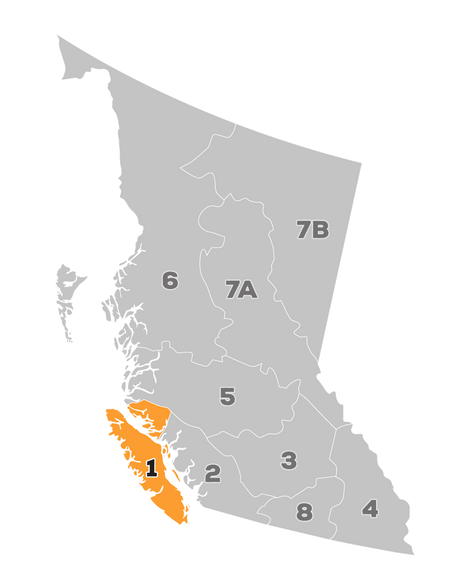
    Explore southern Vancouver Island around Victoria, Sooke and the Cowichan Valley, follow the east coast through Nanaimo and Parksville, or head west towards Port Alberni, Tofino and Ucluelet. The Comox Valley, Campbell River, Port McNeill and Port Hardy offer further starting points for trips into the central and northern island.

    A regional overview can help connect communities and recreation stops; more focused coverage is useful for time in a particular area. Check scale, format and listed features on each product page. Browse British Columbia for complementary maps if you’re also exploring the mainland.

  • Choose the right map format

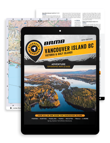
    Backroad Mapbooks: Start with an overview of Vancouver Island. These regional books are great for trip planning, discovering local highlights and connecting the places you want to visit.

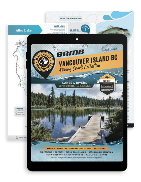
    Fishing Mapbooks: Plan fishing outings with detailed depth charts for top fishing lakes and rivers in the region. Choose these books when understanding the water is a priority for your trip.

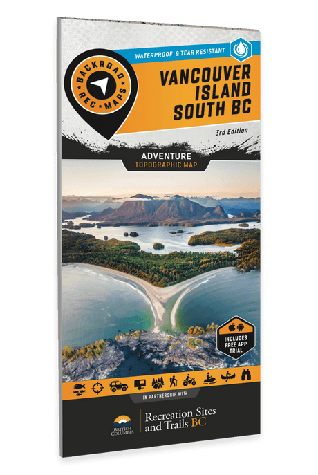
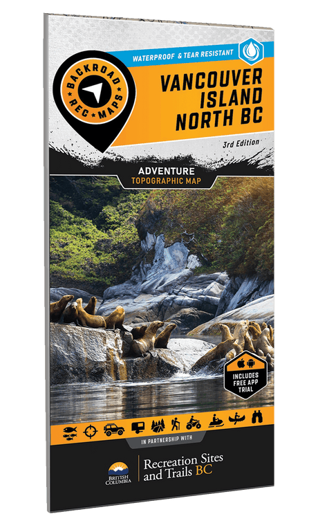
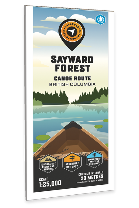
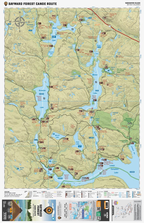
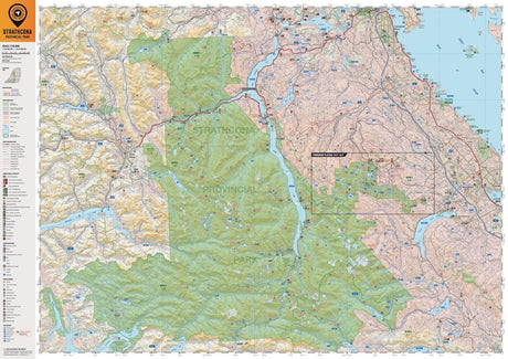
    Folded Maps: Choose a folded map when you want to explore a specific area in greater detail. Popular Folded Maps focus on well-known recreation areas. Hunting Maps focus on specific hunting areas. The TOPO Maps series divides the entire region into detailed sections that correspond to pages in the Backroad Mapbooks, so you can select the sheets for your trip. Check individual product coverage before ordering.

    Folded Fishing Charts: For a closer look at a particular fishing destination, compare the BC Fishing Charts with the Fishing Mapbooks. The folded format lets you choose the specific lake chart you need.

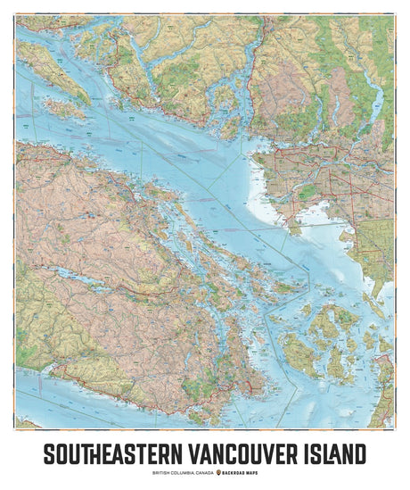
    Wall Maps: Choose a map to display in your home or office, whether you want to showcase a favourite destination or keep the region in view while planning. Wall Maps are created to fit standard frames; check the listed dimensions to find the right size.

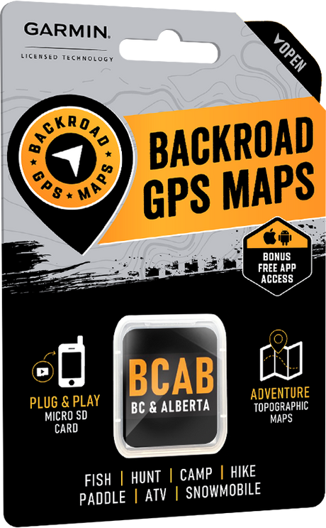
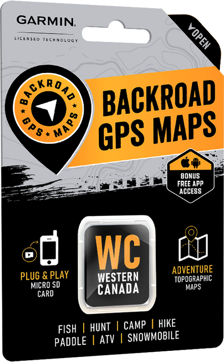
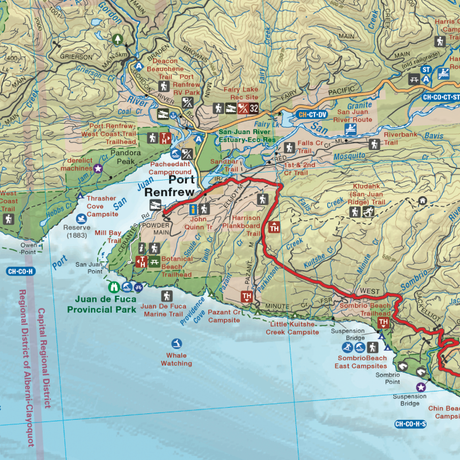
    Garmin GPS Maps: Choose Backroad GPS Maps for mapping on a compatible Garmin device. They suit advanced users and professional applications where a dedicated GPS unit is part of the setup. Check device compatibility and geographic coverage before buying.

    BRMB Maps app: Explore Vancouver Island with a user-friendly digital option that covers all of Canada. Use the app to plan and explore across regions without choosing a separate physical map for each destination.

    Choosing between digital formats? Compare the BRMB Maps app and Backroad GPS Maps to find the option that fits your device and how you explore.

Compare /4

Loading...