
September 24, 2026
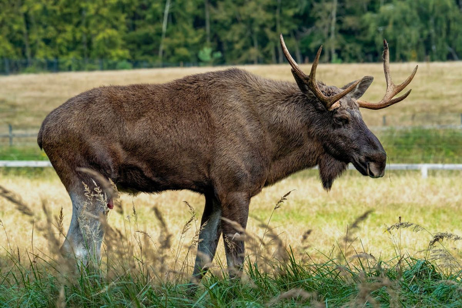
Moose Hunting in Alberta: WMUs, Draw Odds & Where to Actually Hunt (2026 Guide)
Every general moose season in Alberta in 2026 is draw only, and the antlered draw handed out 8,817 licences to 75,562 applicants, about a...

Couldn't load pickup availability
Map Scale: Created at
Note: In case of multiple options, the actual map scale will vary depending on the wall map size you choose.
Dimensions: 3 Options Available
This map includes
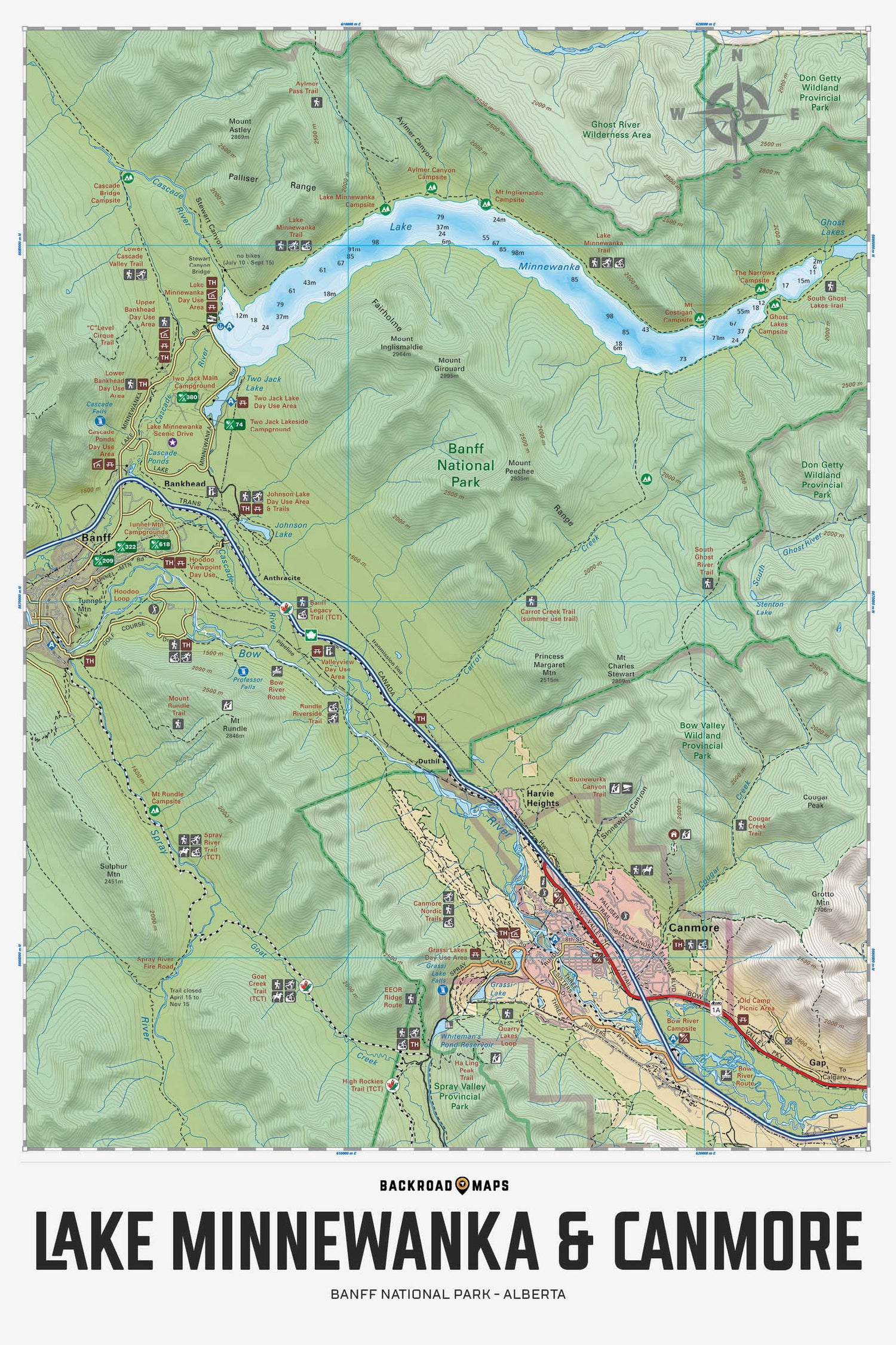
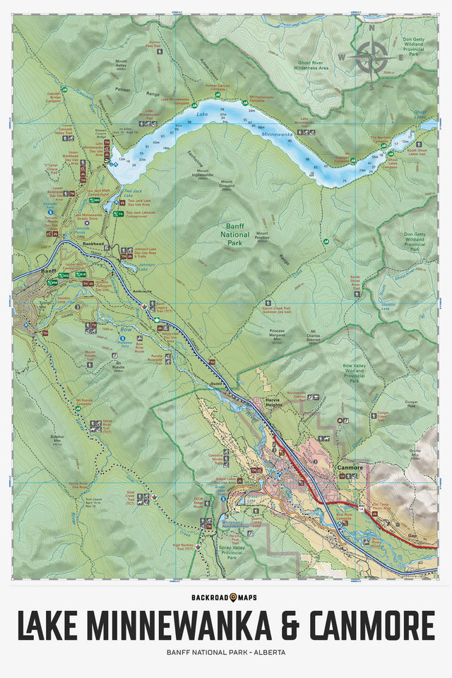
This topographic map for Banff National Park Alberta focuses on the Lake Minnewanka and Canmore area, showing you all the nearby roads, trails for hiking, mountain biking, snowshoeing, cross-country skiing and horseback riding, rock climbing areas, backcountry campsites, vehicle-access campgrounds, fishing lakes and rivers, paddling routes for canoers and kayakers and more! In addition to providing more recreational and topographic detail than any other map for the area, this map also features lake bathymetry (depth contours) for Lake Minnewanka to help anglers find the best fishing hole. This map provides industry-leading topographic contours and relief shading and covers the areas of Canmore, Minnewanka Lake, Bow River, Bow Valley Wildland Park, Canmore Nordic Trails, Carrot Creek, Cascade River, Ghost Lakes, Grassi Lake, Grotto Mountain, Harvey Heights, Spray River, Sulphur Mountain, Trans Canada Trail, Two Jack Lake and more!
The Wall Map version of this map features a minimal layout to display nicely to fit into common picture frame sizes so you can hang it on the cabin, home or workshop wall.
All maps come printed on waterproof synthetic material for extra durability.
Showing articles tagged “Alberta”
September 24, 2026

September 17, 2026

September 17, 2026

July 26, 2026
Scale
Area
Dimensions
Pages
Release
Features
Format