
September 19, 2026
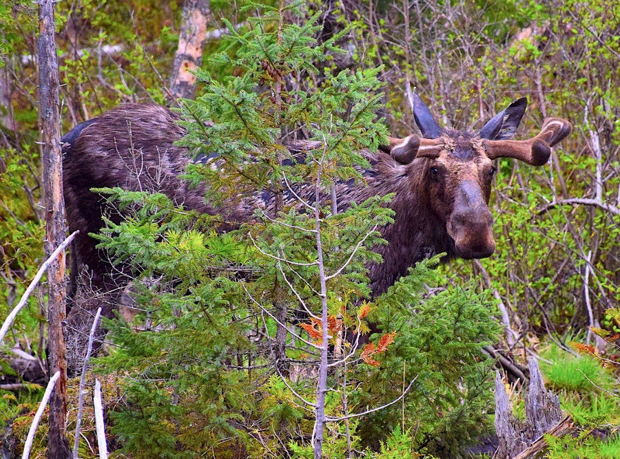
Grouse Hunting in Ontario: Seasons, Limits & Where to Find Birds (2026 Guide)
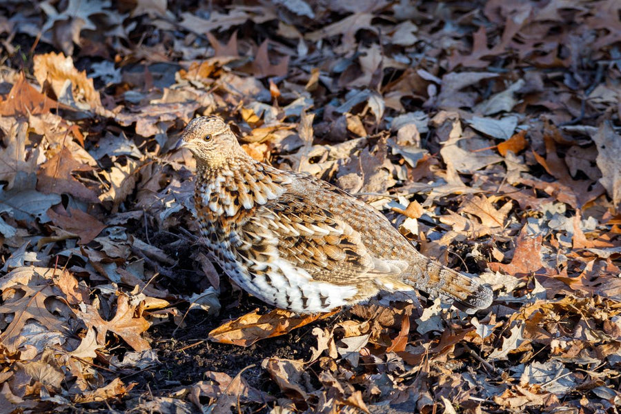
Ruffed grouse is open in all 95 of Ontario's wildlife management units, needs no tag or draw, and the whole season costs a resident $31.3...

Couldn't load pickup availability
Map Scale: Created at
Note: In case of multiple options, the actual map scale will vary depending on the wall map size you choose.
Dimensions: 3 Options Available
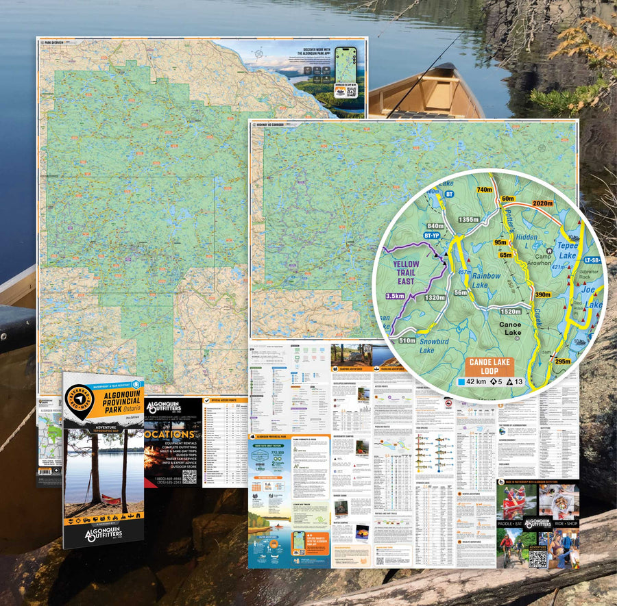
This map includes
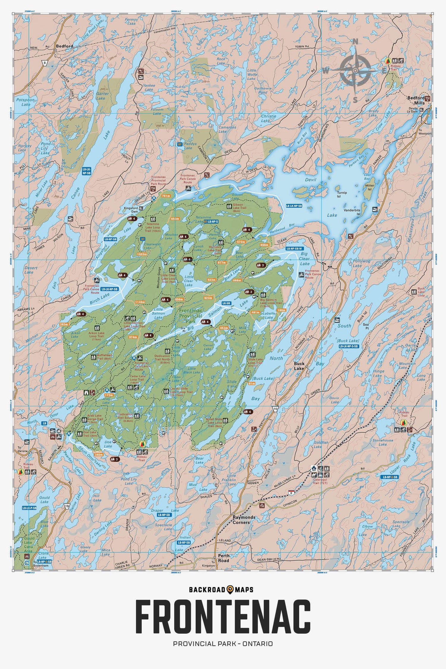
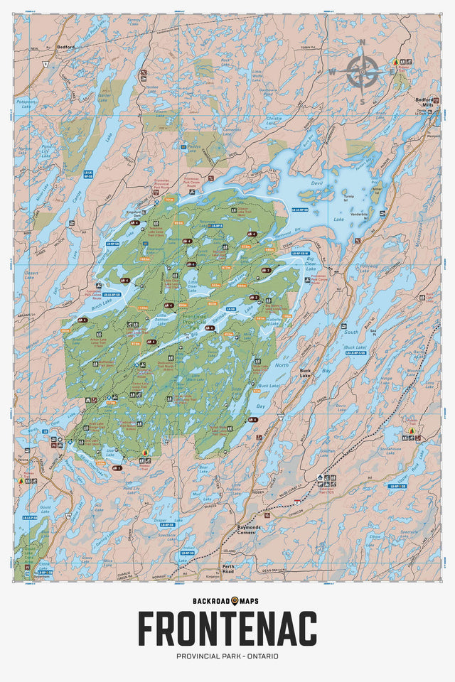
Covering Frontenac Provincial Park in eastern Ontario, this map features the hiking trails, campsites, paddling routes, portage routes, fish species and lakes in the area. Use for canoeing, camping, exploring, fishing, hiking, kayaking, skiing, wildlife viewing and more. With 1:10,000 water and trail data, no other map for the area provides you with this level of recreational or topographic detail. This 1:25,000 scale printed map includes Frontenac Provincial Park, Bedford Mills, Raymonds Corners, Sydenham, Big Clear Lake, Big Salmon Lake, Birch Lake, Buck Lake, Canoe Lake, Cedar Lake Loop, Devil Lake, North Otter Lake, Slide Lake and more!
The Wall Map version of this map features a minimal layout to display nicely to fit into common picture frame sizes so you can hang it on the cabin, home or workshop wall.
All maps come printed on waterproof synthetic material for extra durability.
Showing articles tagged “Ontario”
September 19, 2026
September 11, 2026
February 24, 2026
February 05, 2026
Scale
Area
Dimensions
Pages
Release
Features
Format