

October 04, 2026
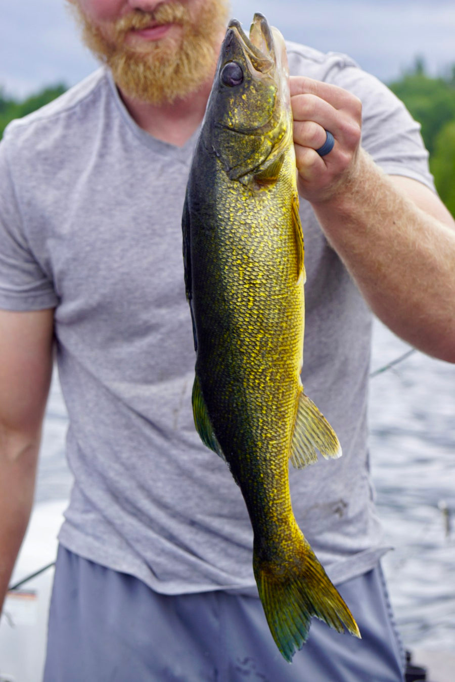
Fall Walleye Fishing in Ontario: Zones, Limits & What the Data Actually Says (2026)
Most Ontario walleye zones stay open right through fall to December 31, and Lake Erie never closes at all. Lake Nipissing is the big exce...



Couldn't load pickup availability
ISBN: 978-1-989175-53-8
UPC: 622098111712
Release: 2025
Edition: 2nd Edition
Dimensions: 5x8.25 inches (folded) / 27.8×39.4 inches (unfolded)
Map Scale: 1:42,000 Scale
Double-Sided
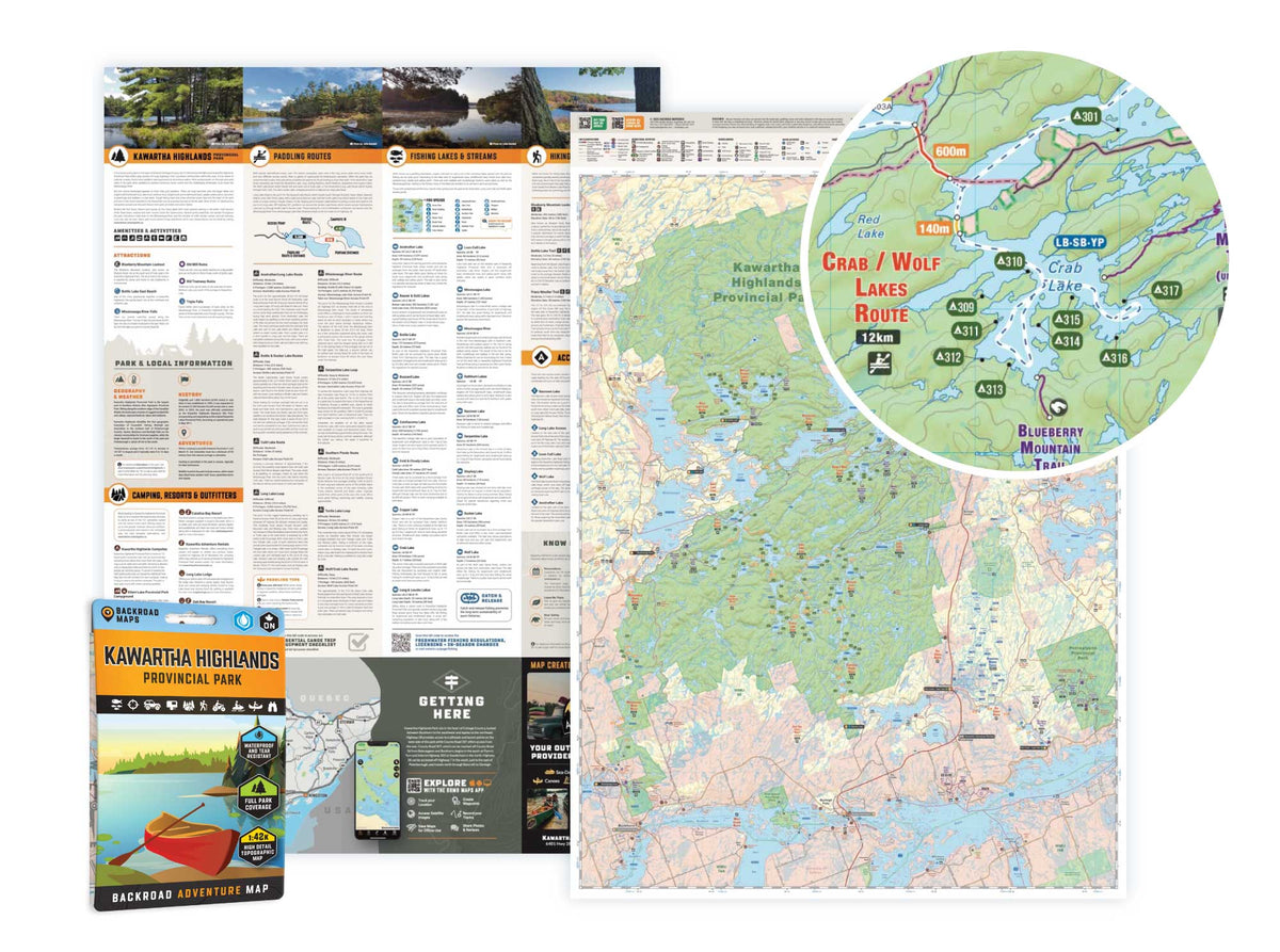
Kawartha Highlands Provincial Park Ontario - Park Map
1:42,000 Scale
Large Format
5x8.25 inches (folded) / 27.8×39.4 inches (unfolded)
Waterproof & Tear-Resistant
Covering all of Kawartha Highlands Provincial Park, this Ontario topographic recreation map highlights all the paddling routes, backcountry campsites, paddling access points, and portages for canoers, campers, anglers, hikers, and backcountry enthusiasts. Showcasing frontcountry and wilderness campsites, portage locations and distances, boat launches, fishing hotspots, and waterfalls, there is a lifetime of outdoor adventures to be found here.
This map features our industry-leading topographic contours and relief shading, as well as roads, padding routes and trails, and ATV and snowmobile areas outside the park. Included on the map are Apsley, Buckhorn, Burleigh Falls, Catchacoma, Anstruther Lake, Buzzard Lake, Chandos Lake, Gold Lake, Mississagua River, Rathbun Lake, Serpentine Lake, Shark Lake, Sucker Lake, Turtle Lake, and more! No other map covers all of Kawartha Highlands Provincial Park with this level of recreation detail.
The printed version of the map is displayed at 1:42,000 scale on 5x8.25 inches (folded) / 27.8×39.4 inches (unfolded) paper on a durable waterproof synthetic material.
Showing articles tagged “Ontario”
October 04, 2026
September 19, 2026
September 11, 2026
February 24, 2026

Scale
Area
Dimensions
Pages
Release
Features