September 24, 2026
Moose Hunting in Alberta: WMUs, Draw Odds & Where to Actually Hunt (2026 Guide)
Every general moose season in Alberta in 2026 is draw only, and the antlered draw handed out 8,817 licences to 75,562 applicants, about a...

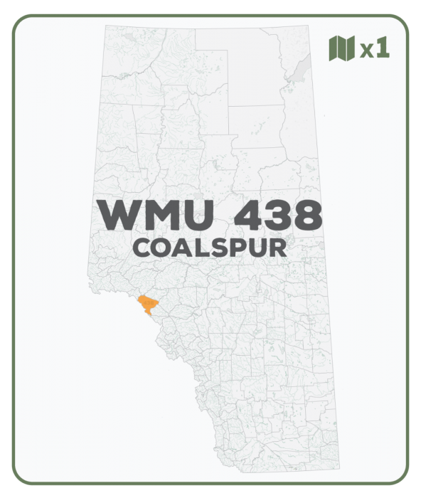
WMU 438 Coalspur - Hunting Topo Alberta
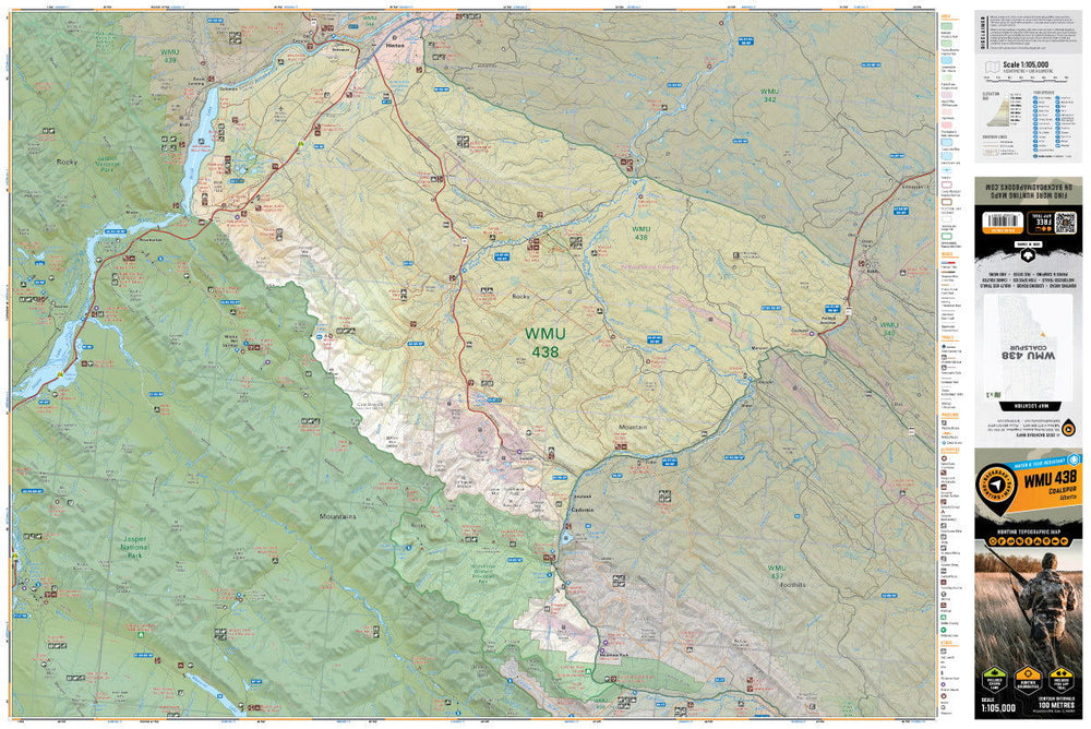
This topographic hunting map covers the Coalspur area Wildlife Management Unit 438 in central Alberta. Featuring 1:50,000 scale water and road data from the popular Backroad Mapbook series, the maps clearly mark Wildlife Management Units, along with, Crown land areas, provincial grazing reserves and public land use zones. Updated road and trail systems, recreational points of interest, campsites, fish species and more make these the most detailed hunting maps available on the market. WMU 438 covers the area from Hinton in the North bordering Jasper National Park south to Climax Mountain as it then heads east at the Cardinal Divide and swings north along the Forestry Trunk Road and McLeod River to Robb in the northeast.
The printed version of the map is displayed at 1:105,000 scale on 61 x 91 cm (24 x 36 in) paper. The map is printed on durable waterproof synthetic paper. The Wall Maps have been customized to display nicely and fit into common picture frame sizes so you can hang on the cabin, home or workshop wall. They are available in three different sizes and come printed on the waterproof synthetic material.
Showing articles tagged “Alberta”
September 24, 2026

September 17, 2026

September 17, 2026

July 26, 2026
Scale
Area
Dimensions
Pages
Release
Features