

July 23, 2026
Overlanding in British Columbia: Best Backroad Routes & How to Do It Right (2026 Guide)
Overlanding in BC means driving the province's enormous network of forest service and resource roads to reach free Crown-land camping mos...

Couldn't load pickup availability
Map Scale: Created at
Note: In case of multiple options, the actual map scale will vary depending on the wall map size you choose.
Dimensions: 3 Options Available
This map includes
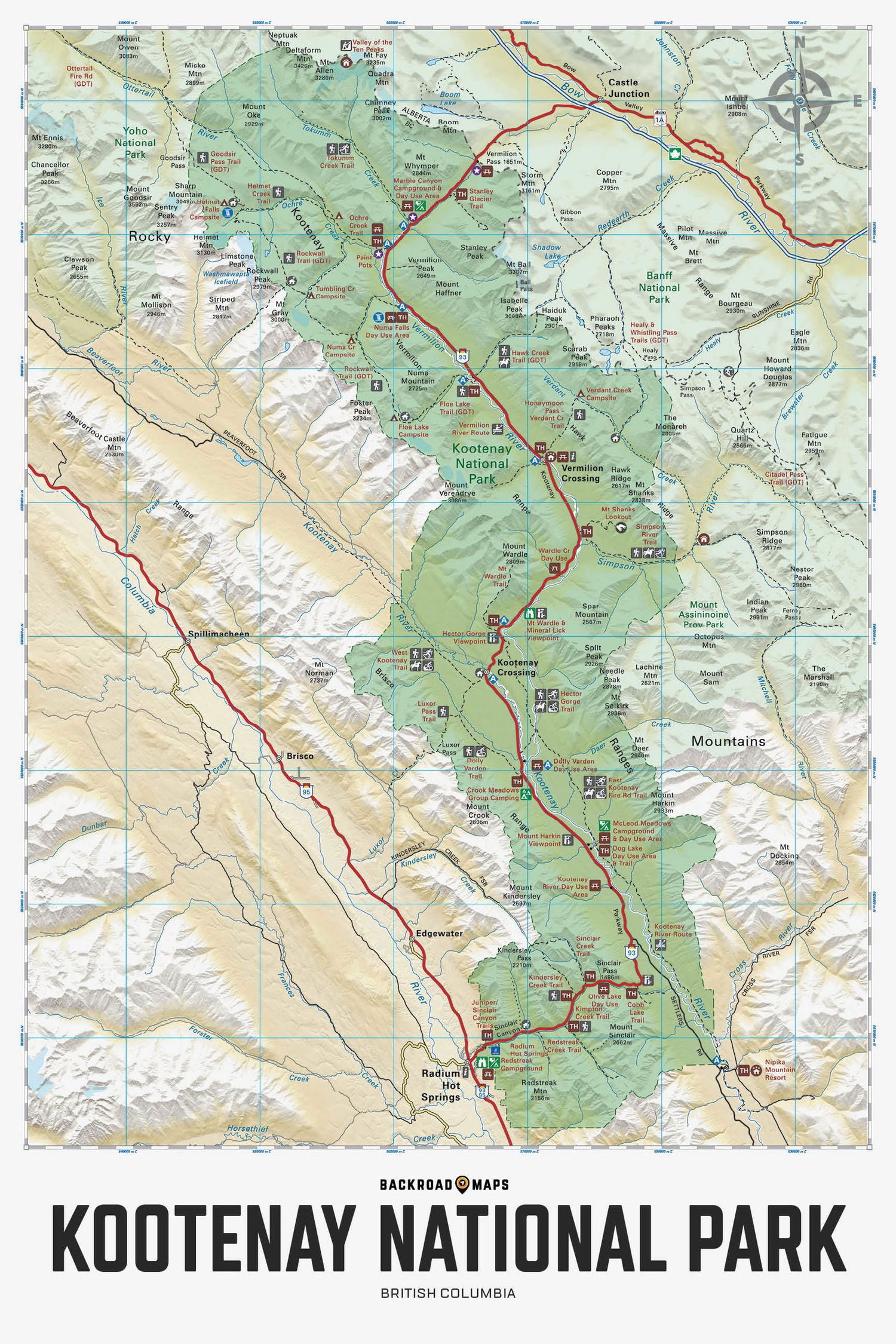
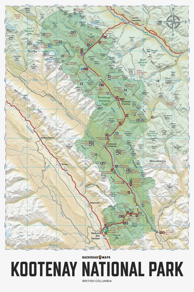
Providing a detailed overview of Kootenay National Park in BC, this recreation map highlights all the main roads and trails, campsites, hot springs and notable recreation areas, backroad attractions, larger lakes and river systems, paddling routes and more! Shown at 1:110,000 scale, this map features topographic relief shading and is the perfect planning tool for exploring this breathtaking park. Included on this map are Kootenay Crossing, Radium Hot Springs, Vermillion Crossing, Brisco Range, East Kootenay Fire Road, Great Divide Trail, Hawk Creek, Hector Gorge, Highway 93, Kindersley Creek, Kootenay River, Marble Canyon, Mount Sinclair, Numa Pass, Ochre Creek, Redstreak Campsite, Simpson River, Stanley Glacier, Vermillion River and more!
The Wall Map version of this map features a minimal layout to display nicely to fit into common picture frame sizes so you can hang it on the cabin, home or workshop wall.
All maps come printed on waterproof synthetic material for extra durability.
Showing articles tagged “British Columbia”
July 23, 2026


June 19, 2026


March 04, 2026
Scale
Area
Dimensions
Pages
Release
Features
Format