

July 23, 2026
Overlanding in British Columbia: Best Backroad Routes & How to Do It Right (2026 Guide)
Overlanding in BC means driving the province's enormous network of forest service and resource roads to reach free Crown-land camping mos...

Couldn't load pickup availability
Map Scale: Created at
Note: In case of multiple options, the actual map scale will vary depending on the wall map size you choose.
Dimensions: 3 Options Available
This map includes
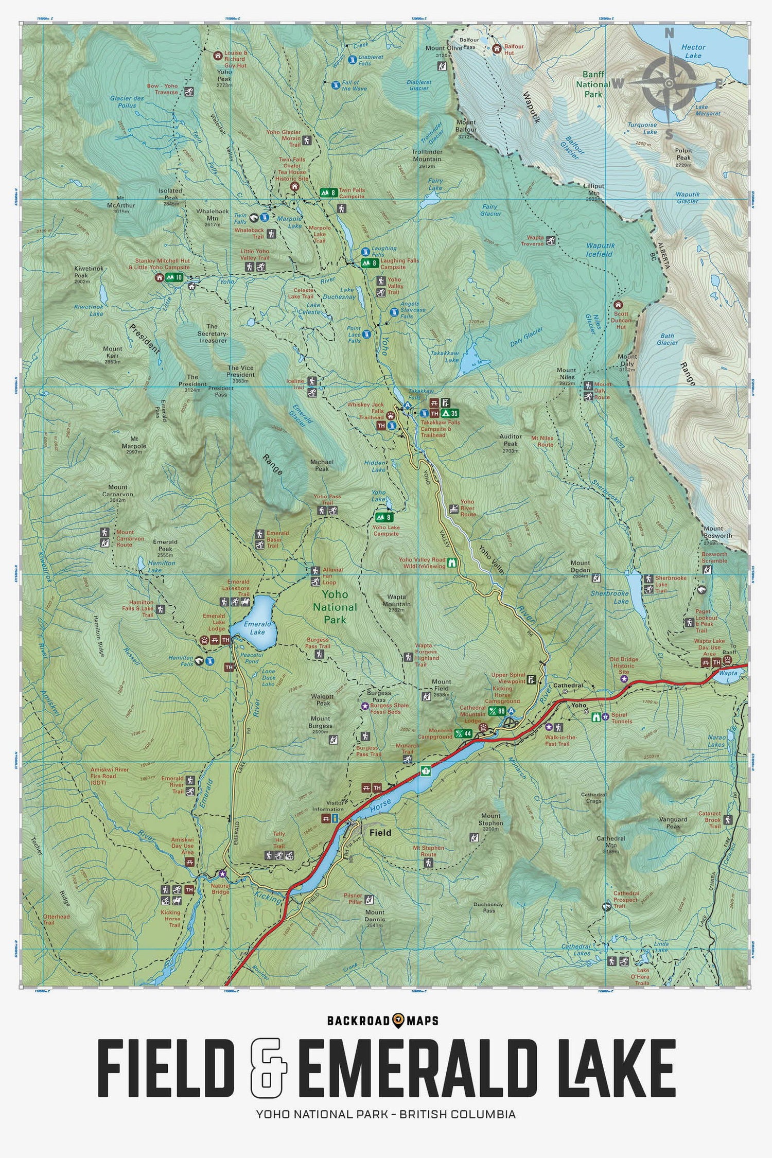
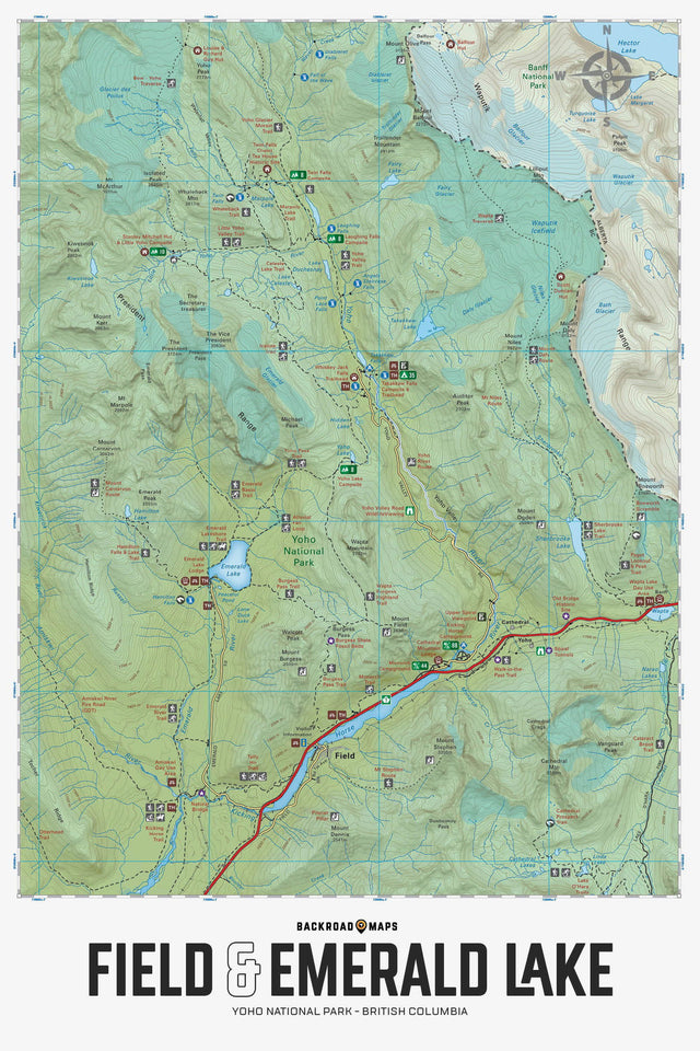
Focusing on the Field, Emerald Lake and Yoho Valley areas of Yoho National Park, this BRMB Adventure topographic map highlights all the access roads, campgrounds, trails for hiking, cross-country skiing, horseback riding and mountain biking, paddling routes, fishing lakes and rivers, backcountry huts and cabins, picnic areas, viewpoints, waterfalls and more! This Adventure map features our industry-leading topographic contours and relief shading and charts the areas of Emerald Lake, Field, Yoho Valley, Cathedral Lakes, Great Divide Trail, Kicking Horse River, Marpole Lake, President Range Mountains, Sherbrooke Lake, Twin Falls, Stanley Mitchell Hut, Takakkaw Falls, Wapta Traverse, Waputik Icefield, Yoho River and more!
The Wall Map version of this map features a minimal layout to display nicely to fit into common picture frame sizes so you can hang it on the cabin, home or workshop wall.
All maps come printed on waterproof synthetic material for extra durability.
Showing articles tagged “British Columbia”
July 23, 2026


June 19, 2026


March 04, 2026
Scale
Area
Dimensions
Pages
Release
Features
Format