


How to Install GPS Maps: Digital Download vs Plug & Play microSD Cards
Learn how to install Backroad GPS Maps using a Plug & Play microSD card or digital download. Compare formats, compatibility, and setup steps.

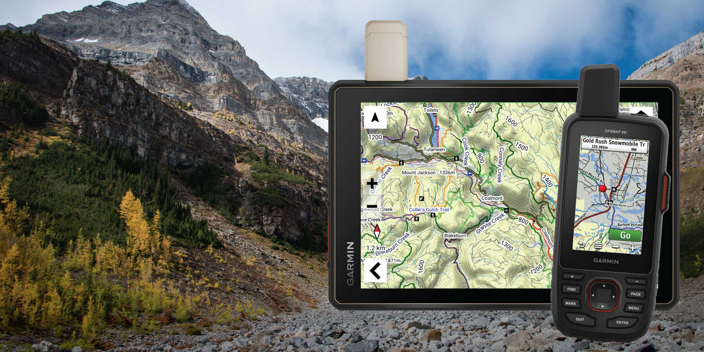
For over 25 years, Backroad Mapbooks has been guiding Canadians through the great outdoors. Featuring unparalleled map detail, easy-to-read topographic relief and more outdoor recreation information than any other map source, these maps have become the go-to navigation tool not just for outdoor enthusiasts but for industry workers and Search and Rescue teams as well. Now, having charted the entire country, Backroad Mapbooks is expanding south, offering our first ever US coverage with Washington GPS Maps!

More than just a set of maps, Backroad Mapbooks’ Washington GPS Maps are your key to unlocking the best of the Evergreen State’s great outdoors! Have you ever been frustrated while trying to find that remote backroad on a map? How about the exact location of a hiking trailhead, backcountry campsite or hunting area boundary? Our Washington GPS Maps go the extra mile to provide you with next-level coverage and are designed with the serious outdoor explorer in mind, offering all of the pertinent details that are left off other maps. Whether you are off-roading, camping, fishing, hiking, mountain biking, ATVing, snowmobiling or cross-country skiing, we’ve got you covered.
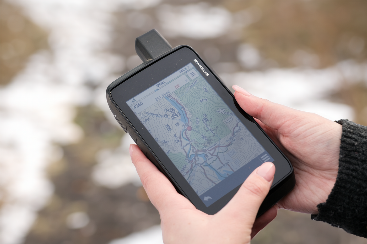
These plug-and-play GPS Maps are easy to install and are compatible with Garmin GPS,™ Basecamp,™ MapSource™ and RoadTrip.™
For over a quarter century, BRMB has been refining our cartography to develop the industry standard when it comes to map detail and readability. Easy-to-read shading and topographic relief, labelled elevation contours, natural features such as mountain peaks, glaciers and wetlands, national, state and local parks, seven types of public land classification and much more add up to bring you the pinnacle of map sophistication, from the Olympic Peninsula to the Cascade Mountains!

The Washington State GPS Map shows you close to 210,000 miles of roads across the state, from freeways and highways to residential roads, rural roads, forest service roads and industry roads. This includes 107,000 miles of routable roads and 103,000 miles of backcountry roads, deactivated roads and four-wheel drive roads, so no matter where that fishing hole, campsite or scenic lookout is, you can count on our GPS maps to show you the way.

Unique to Backroad Mapbooks are our extensive catalogue of recreational Points of Interest. These searchable POIs are broken down by activity and cover everything from multi-use trailheads to waterfalls, hot springs, gates, viewpoints and camping areas. Many of these POIs are supplemented with detailed written descriptions that include information such as trail distance and elevation gain, access and directions, working hours, highlights, restrictions and more. In total, there are close to 43,000 POIs found across the maps.


Of course, it is impossible to list all the features included in BRMB’s Washington GPS Maps. To fully understand what has made us Canada’s most trusted source for outdoor recreation navigation, pick up a map for yourself and let us guide you on the adventure of a lifetime!
Heading north? Discover many more BRMB locations with the help of our Backroad Mapbooks and Backroad GPS Maps. No other map product gives you the breadth of road coverage that ours do, helping you find that secluded, unobstructed viewing area with ease.
|
Want to show off your favourite destination? Let us know in the comments below or share your photos with us on Instagram using #brmblife for a chance to be featured on our feed and win prizes.


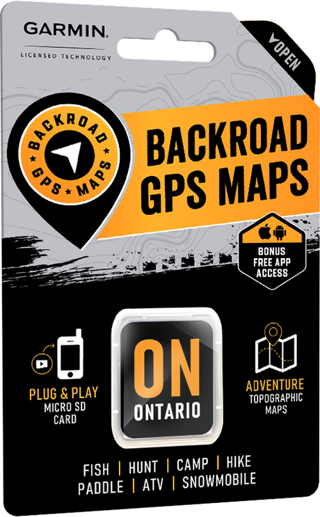

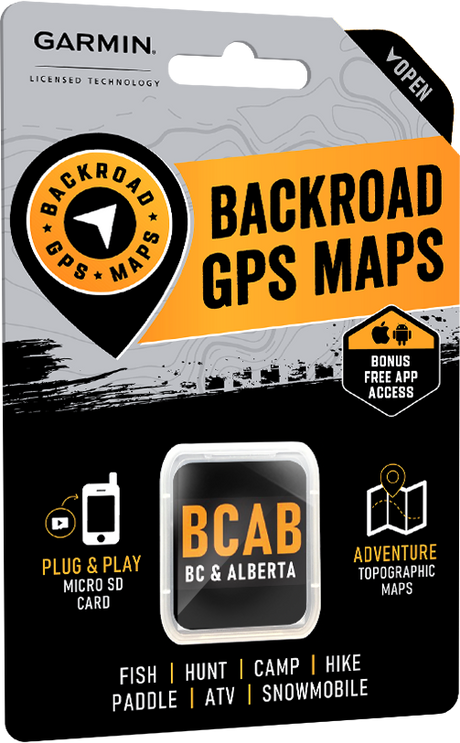

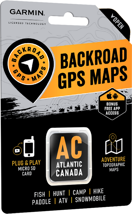




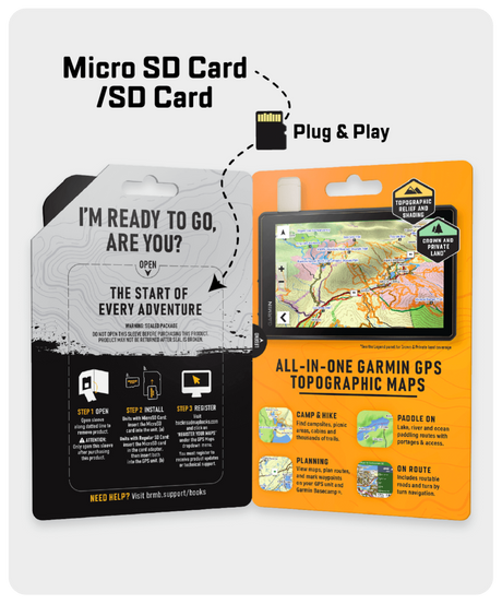
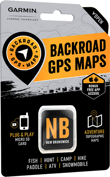

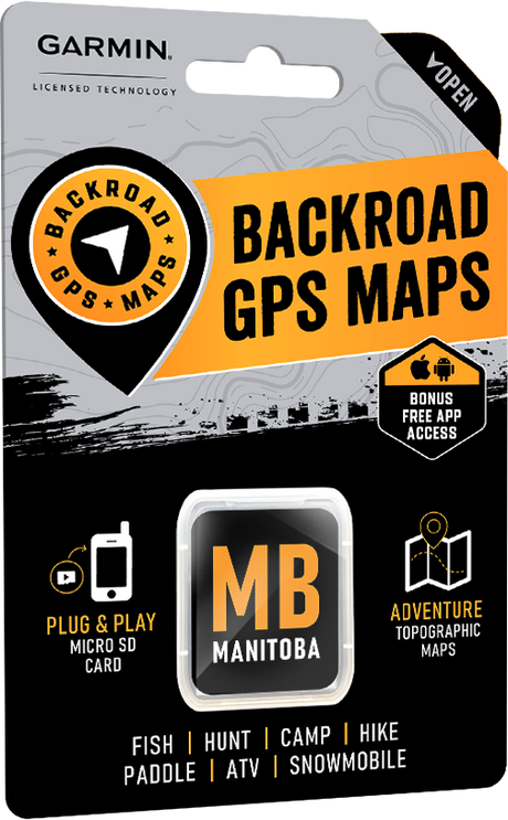

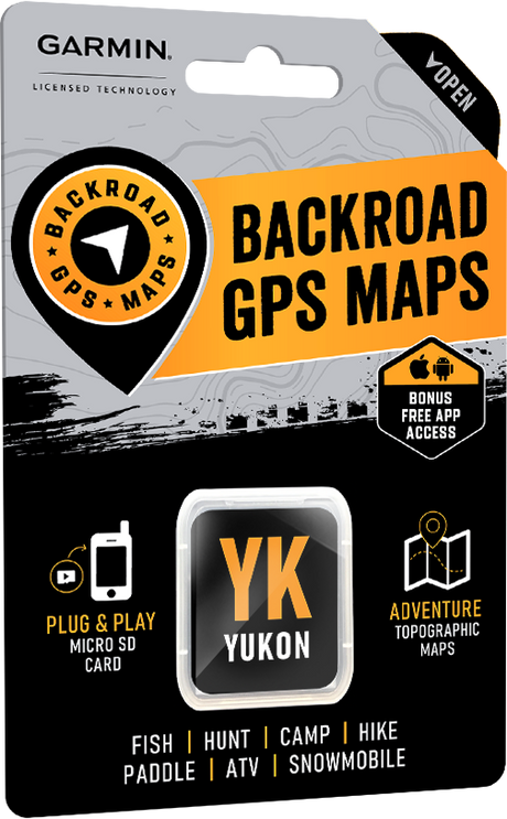


Learn how to install Backroad GPS Maps using a Plug & Play microSD card or digital download. Compare formats, compatibility, and setup steps.

Choosing the right Garmin GPS device can make all the difference when you're exploring remote routes and navigating unfamiliar terrain. With so many models available, each designed for different purposes...

How We Determine Compatibility Our are designed to be compatible with most Garmin GPS units that support microSD cards. However, it’s important to note that some units may experience issues...

Why should I update? Upgrades may include new land classifications, extra road and trail coverage, new Adventure POIs, and more. Whether you are hunting, fishing, camping, hiking, paddling, exploring forest...

Why should I register my GPS Maps? Here's a few benefits you get from Registering: Download Computer Maps for Garmin Basecamp Store a secure copy of your Garmin License and...

What's New in V2025? All Version 2025 GPS Maps feature new and improved roadways, off-road trails, and highway points of interest, making trip planning and navigation easier. Key updates include:...

British Columbia – VERSION 2025 Release date: November 2024 Shop GPS Maps Update your Maps General Enhanced Road Enhanced ATV, Snowmobile, Multi-use Trail, Paddling and TCT data New Dirtbike New...

Alberta – VERSION 2025 Release Date: November 2024 Shop GPS Maps Update your Maps General Enhanced Road Enhanced Road Names Enhanced ATV, Snowmobile, Multi-use Trail, Paddling and TCT data New...