Western Canada GPS Maps

For Garmin GPS Units
$27495

Type
Format
Barcode: 6-22098-10089-1

MicroSD Card VS Digital License

PLUG & PLAY MicroSD Card

  • Plug & Play Installation: Simply insert the card into your Garmin GPS unit, and you're ready to go!
  • Card Size: Pre Programmed on 8, 16 or 32GB microSD card. Our GPS maps occupy up to 2GB of space on the SD card.
  • Coverage: Single Province or Pre Built Combo Maps
  • SD Card Adapter: The maps are stored on a microSD card. The packaging includes an SD card adapter for older units.

DIGITAL LICENSE

  • Immediate Installation: After your purchase, you can download the maps and install them on your device right away using Garmin Basecamp. No shipping required.
  • Coverage: Customizable Maps, Build and combine maps the way you need.
  • Compatible with Garmin Smartwatches: Install our maps on your new Fenix, Descent, MARQ, or other Garmin smartwatches. Check the list for compatible models.

Map Coverage and Version

Scale: Dynamic Scale
Version: V2027

Covering Alberta, British Columbia, Saskatchewan and Manitoba these GPS Maps are the most detailed, comprehensive and up-to-date GPS maps available on the market.

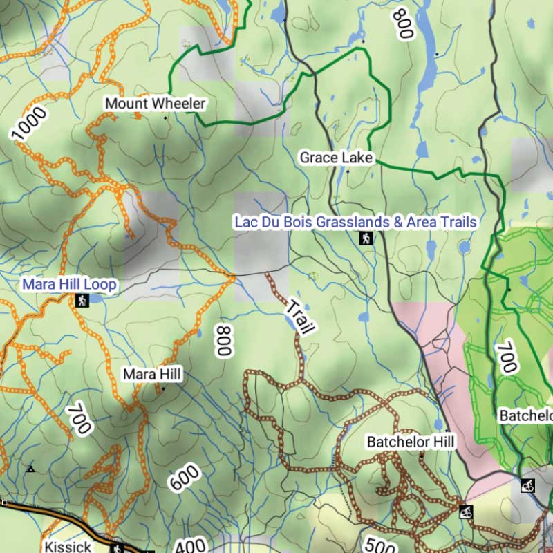
Keep your adventure rolling with the latest topographic data, routable roads, oil and gas data, Wildlife Management Units, trails, rec sites, paddling routes, scenic viewpoints and so much more. With the latest edition of our Western Canada GPS Maps GPS Maps in hand, your options for adventure are limitless.

Garmin Devices Compatibility

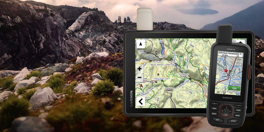
Our Backroad GPS Maps are designed to be compatible with most Garmin GPS Vehicle or Outdoor models made in 2012 and later that accept SD or Micro-SD cards.

However, it’s important to note that some units may experience issues with display or feature availability, depending on the model version.

You can check if your unit is compatible here.

BONUS 1-year App access

Includes a Free One-Year Pro Subscription to the BRMB Maps smartphone App and Web Map.

Description

Western Canada GPS Maps for outdoor adventures and backroad travel

Plan travel across British Columbia, Alberta, Saskatchewan and Manitoba with detailed GPS mapping for compatible Garmin devices. The 2027 edition brings together updated roads, trails, paddling routes, recreation sites, geographic features and resource data from the Pacific Coast to the Prairies.

What’s new in the 2027 edition

  • Nearly 10,000 km of newly added roads and improvements to almost 20,000 roads
  • More than 4,000 km of added or updated multi-use, paddling, snowmobile and motorized trails
  • 630+ new trailheads and staging areas
  • More than 2,200 new recreation and geographic features
  • 400+ new multi-use trails, 250+ access and paddling locations, 200+ First Nations and 150+ snowmobile routes
  • More than 11,000 new resource sites, plus expanded parks, conservation sites, campgrounds, boat launches and ranger stations

Map features

  • Complete coverage of British Columbia, Alberta, Saskatchewan and Manitoba in one map product
  • Searchable roads, trails, recreation sites, geographic features and resource locations
  • Fishing waters, parks, conservation sites, campgrounds, access points and backroad attractions
  • Supplied on an 8 GB microSD card for compatible Garmin GPS devices

Adventures

Western Canada GPS Maps combine reliable navigation with deep adventure planning data built from decades of Backroad Maps research.

  • 1,140+ hiking, multi use and backcountry trails
  • 130 snowmobile routes with staging areas and access points
  • 110+ ATV trails and 90+ dirt bike trails
  • 180+ paddling routes with portages and launch locations
  • 1,500+ fishing lakes and 160+ fishing docks
  • 450+ boat launches and 70+ diving sites
  • 150+ huts and backcountry shelters
  • 1,880+ national, provincial and regional parks
  • 1,220+ waterfalls and scenic features
  • 800+ new hunting LEH areas and wildlife management zones
  • 650+ lodging locations, resorts and outfitters

Resource and industry coverage includes:

  • 203,000+ wellsites
  • 3,000+ resource facilities
  • 2,230+ wind turbines
  • Compressor stations, plants, batteries and disposal sites

Features

Garmin compatibility and map format

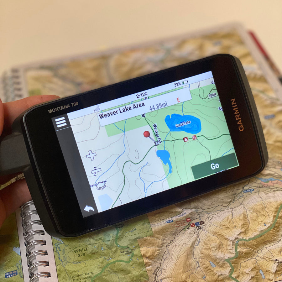
  • Garmin-licensed maps for compatible Garmin GPS devices and Garmin BaseCamp
  • Preloaded on an 8 GB microSD card for easy installation
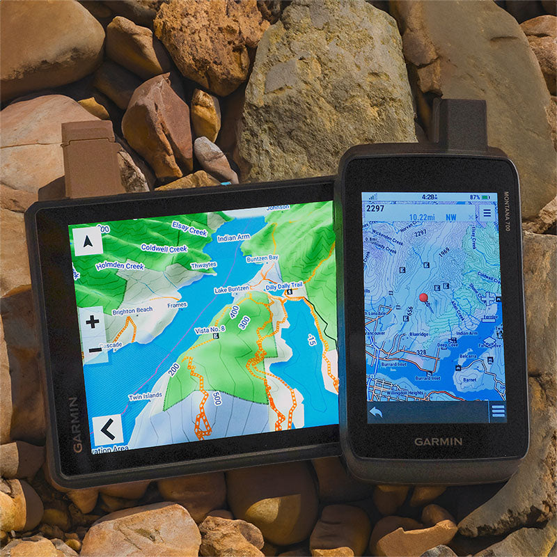
  • Seamless topographic mapping at 1:20,000 and 1:50,000 base scales
  • Shaded relief and 3D views on supported Garmin devices

Roads, trails and navigation

  • Detailed coverage of highways, city streets, rural roads, resource roads and backroads across British Columbia, Alberta, Saskatchewan and Manitoba
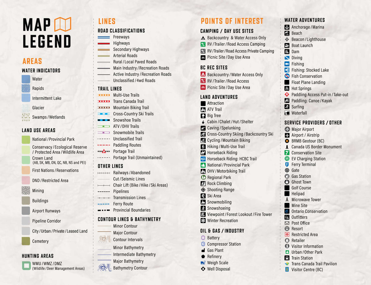
  • Routable road network with road classifications that help distinguish main routes from industrial, resource and unclassified roads
  • Clearly identified ATV, snowmobile, multi-use, hiking and paddling routes
  • Searchable cities, communities, geographic features and recreation points of interest

Outdoor recreation and land information

  • Campgrounds, parks, conservation areas, trailheads, staging areas and backcountry sites
  • Fishing waters, boat launches, paddling access points and available bathymetric depth contours
  • Hunting areas and other regional land-management information where available
  • Resource and industry data, including relevant facilities and access information

Overall rating: 4.2 / 5 from 5 reviews.

AI Generated Review Summary

Summary topics

Review topics: [].

Review highlights

Reviews

Better late than never for

"Better late than never for the 2025 edition, I’ve always loved BRMB maps for Garmin GPS DEFICES (currently own multiple devices including the new GPSMAP H1i Plus). I’ve have been a long time customer always updating every year with the kind discount you offer to existing customers. I’ve even added new trails for time to time. It’s wonder for to support such a wonderful Canadian business."
— Martin H. (5/5)

The 2025 edition - Better late than never!

"I’ve always loved BRMB maps for Garmin GPS devices (I currently own multiple devices including the new GPSMAP H1i Plus). I’ve have been a long time customer always updating every year with the kind discount you offer to existing customers. I’ve even added new trails for time to time. It’s wonderful to support such a wonderful Canadian business."
— Akytarus (5/5)

Yes my mistake, buyer beware,

"Yes my mistake, buyer beware, already had the maps and they offered updates paid and then when updating it says you already have the latest updates. Now that was a waste of money and some trickery from Backroads."

— Brian S. (3/5)

Works for my needs. Plenty

"Works for my needs. Plenty of good detail on the map."

— Grant H. (5/5)

Outdated maps

"I purchased the Western Canada map on sd card Jan 2025 and received a 2023 sd card. When I called Backroads I was told to just update online but that feature to this day is still unavailable. You can only update for free within 60 days of purchase. Still waiting. . . . ."

— Dean P. (3/5)

Q&A

Western Canada GPS Maps 2027 Garmin GPS map product

Western Canada GPS Maps

From $27495
Western Canada GPS Maps for outdoor adventures and backroad travel Plan travel across British Columbia, Alberta, Saskatchewan and Manitoba with detailed GPS mapping for compatible Garmin devices. The 2027 edition brings together updated roads, trails, paddling routes, recreation sites, geographic features and resource data from the Pacific Coast to the...

Scale

Dynamic Scale (Digital Map)

Area

Alberta, British Columbia, Saskatchewan and Manitoba

Dimensions

Micro SD card

Pages

n/a

Release

2027

Features

BC, Alberta, Saskatchewan and Manitoba coverage; routable roads; ATV, snowmobile, multi-use and paddling routes; trailheads; parks; fishing waters; campgrounds; access points; resource data

Type

  • New License
  • Map Update

Format

  • 8GB SD Card
  • 16GB SD Card
  • 32GB SD Card
  • Digital-Only (No SD Card)
  • Update File Only (Downloadable)
View product