
Too many elevation lines which
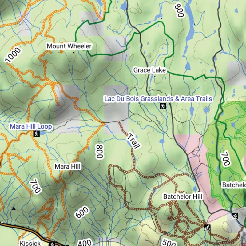
"Too many elevation lines which hide the road lines. Need to have an option to remove or reduce elevation lines to clearly show the FSR."



Couldn't load pickup availability
PLUG & PLAY MicroSD Card
DIGITAL LICENSE
Scale: Dynamic Scale
Version:
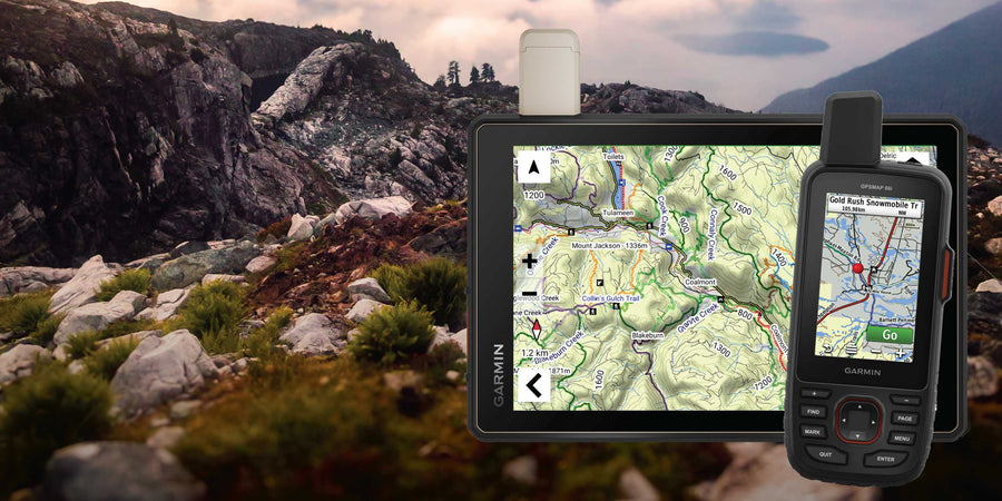
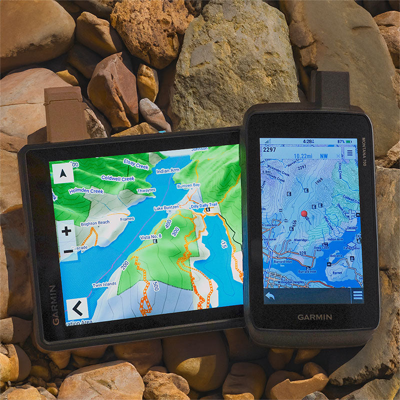
Covering these GPS Maps are the most detailed, comprehensive and up-to-date GPS maps available on the market.
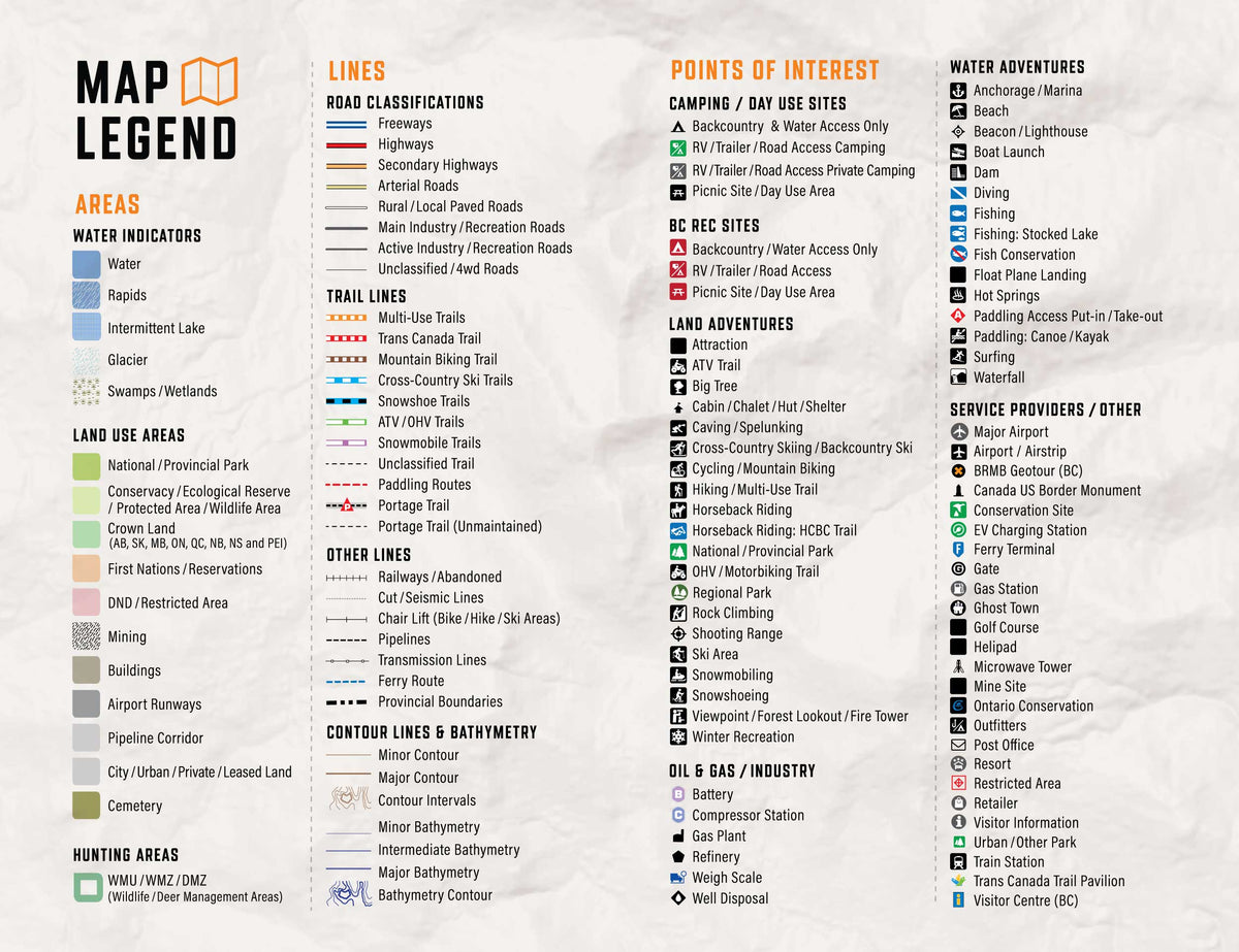
Keep your adventure rolling with the latest topographic data, routable roads, oil and gas data, Wildlife Management Units, trails, rec sites, paddling routes, scenic viewpoints and so much more. With the latest edition of our British Columbia GPS Maps GPS Maps in hand, your options for adventure are limitless.
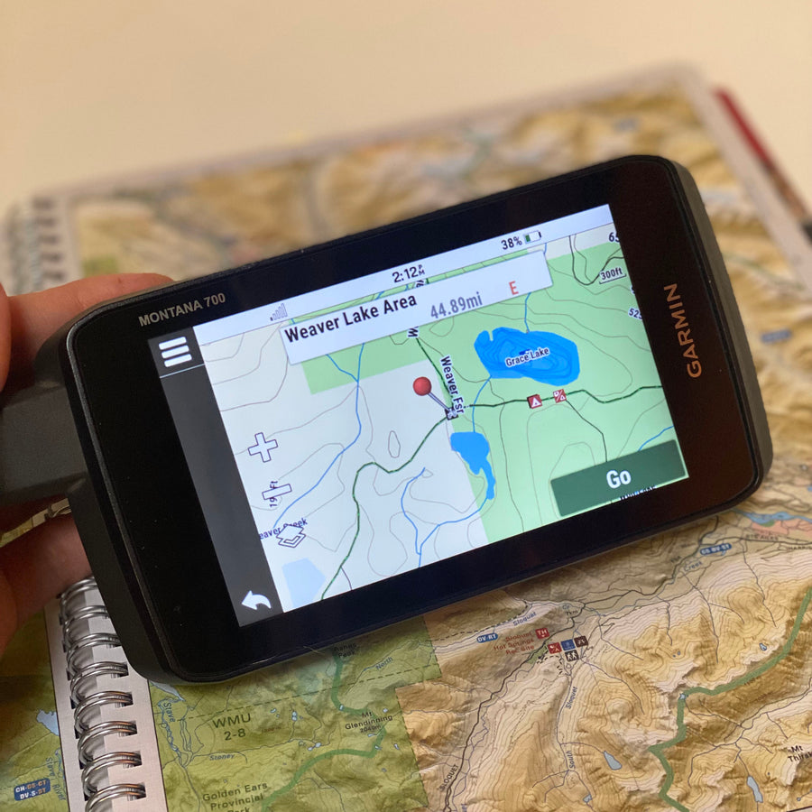
Our Backroad GPS Maps are designed to be compatible with most Garmin GPS Vehicle or Outdoor models made in 2012 and later that accept SD or Micro-SD cards.
However, it’s important to note that some units may experience issues with display or feature availability, depending on the model version.
You can check if your unit is compatible here.
Includes a Free One-Year Pro Subscription to the BRMB Maps smartphone App and Web Map.
PLUG & PLAY SD CARD
DIGITAL LICENSE
Explore Vancouver Island, the Coast, the Interior, the Rockies and Northern BC with detailed GPS mapping for compatible Garmin devices. The 2027 edition combines updated roads with trails, paddling routes, access points, recreation sites and geographic features for navigation beyond cell coverage.
Unique to the Backroad BC GPS Maps are our Custom or Backroad POI sets. Within BC we have over 265,000 searchable points including Oil and Gas LSD Grid Locations, PNG Grid Locations, Township Quarter Section Grid Locations, Compressor Stations, Gas Plants, other Resource Facilities and Backroad POI sets. Customers can search for Oil and Gas Resource Facility information by selecting Where To/Find > Cities and then by entering the full LSD Grid reference for Facilities near Fort St. John (ex: 6-28-85-18-W6), or by entering the full PNG Grid reference for Facilities elsewhere in the province (ex. D-83-I-94-J-10). Backroad POIs can be searched by selecting the Where To/Find > Extras and then Go! option, or read what each site offers through the More option. This added feature to our GPS Maps gives you the descriptions or write-ups of most recreation sites that have been geo-referenced from the popular Backroad Mapbook guidebook series.
Backroad Extras are where you find all the POI information specific to our Backroad GPS Maps.
Overall rating: 3.6111112 / 5 from 18 reviews.
Review topics: [].
"Too many elevation lines which hide the road lines. Need to have an option to remove or reduce elevation lines to clearly show the FSR."
"Got tired of thinking I could navigate with my phone on road trips with BRM🙄. Bought a Garmin navigator. The built in off grid mapping, well. . . lol. Adding the micro USB, big difference 👍"
"I use Backroads maps on my garmin for ATVing in the backcountry in the East Kootenays. It is very reliable for all the back roads and side trails in our area."
"Had problems installing didn't work"
"It’s impossible to load"
"The card worked seamlessly with my Garmin eTrex 22x. I used the back road maps because it had the canoe route I was doing. I didn’t need to add any additional information for my trip."
"I have upgraded since BC v7. 0 almost religiously. Great discount, but no support when you have a problem with a new GPS unit or MicroSD. Great product and a MUST HAVE for backcountry enthusiasts."
"Update did not load properly and GPS unable to read. Now updated card no longer usable so had to install older card to use maps."
"I have only had a couple of opportunities to use the G PS and map book. Using them together works well especially if your GPS runs out of battery life!! I think the map book is going to be more useful when I am riding my dual sport and looking for roads to take. All in all I am enjoying both products."
"when I go to web site to sign in says I don't have an account??"
Showing articles tagged “How to Guides”


Scale
Area
Dimensions
Pages
Release
Features
Type
Format