
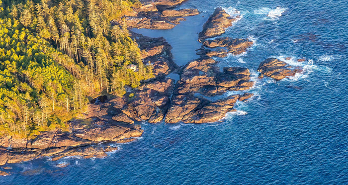
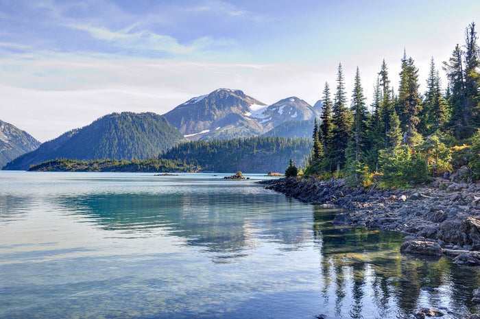
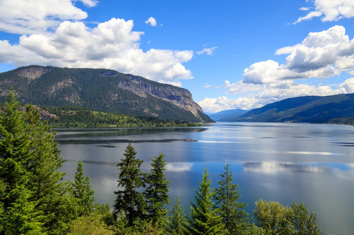
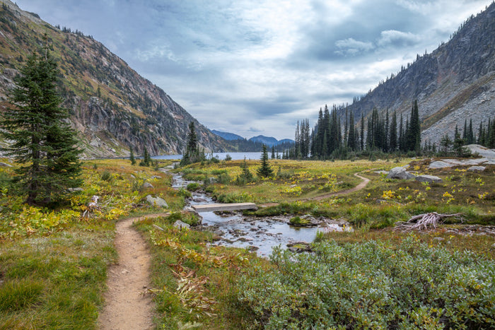
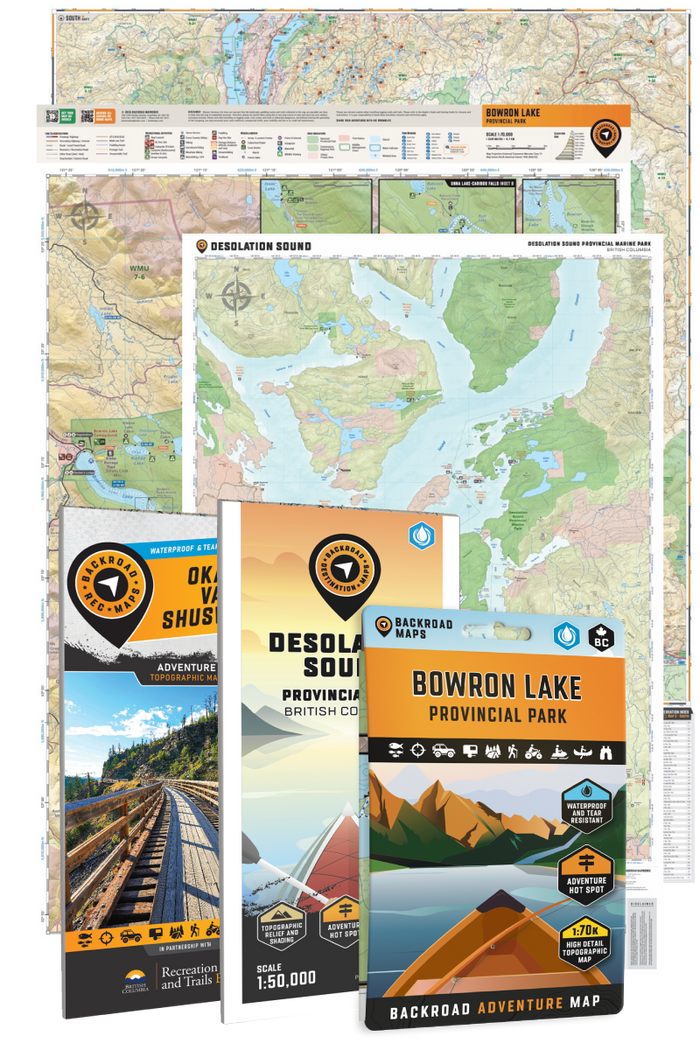
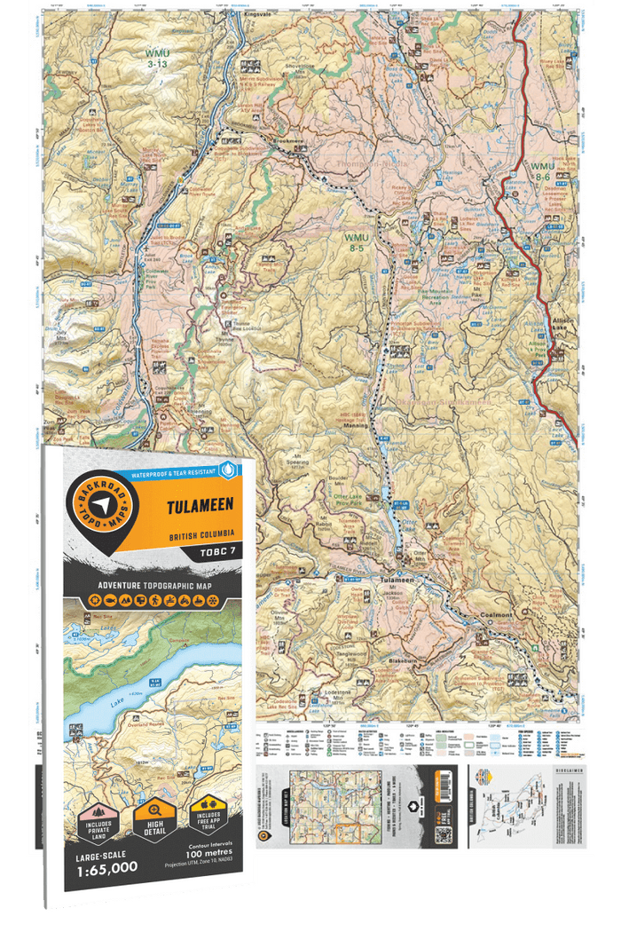
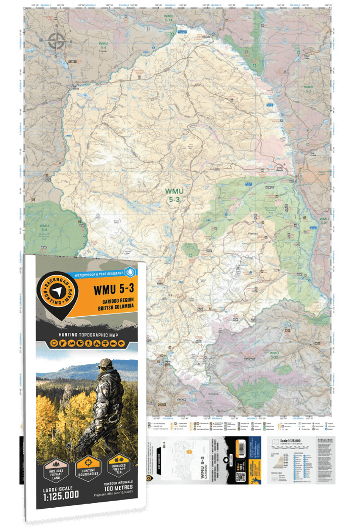
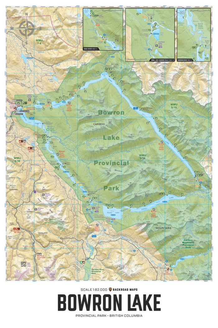
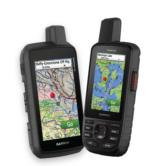
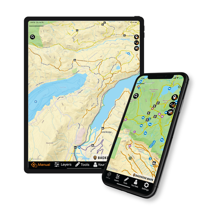

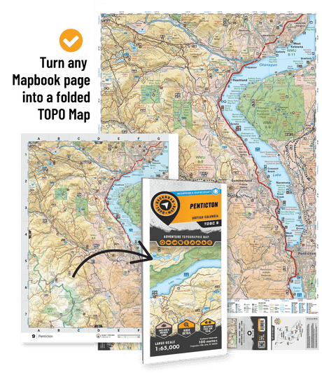


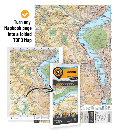

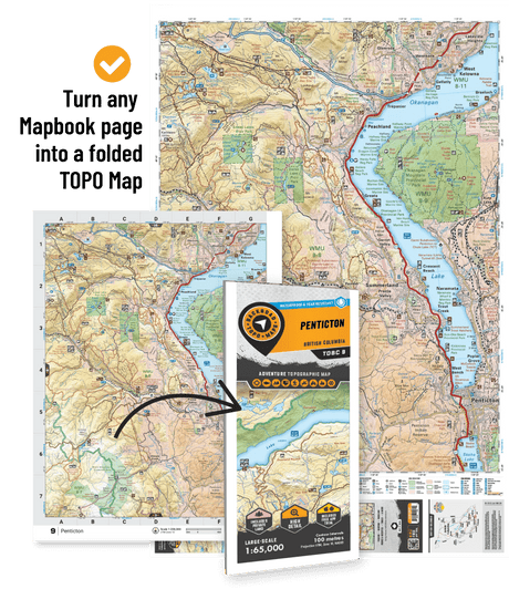

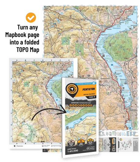





Discover the best outdoor maps for every corner of British Columbia. From the coastal rainforests of Vancouver Island to the rugged peaks of the Kootenay Rockies, Backroad Maps helps you explore BC like a local. Choose from guidebooks, folded maps, wall maps, GPS maps, and our mobile app. Perfect for hiking, camping, fishing, paddling, off-roading, and more.
Shop by Region
Shop by Map Series

 $1995Unit price /Unavailable
-
CCBC59 TOPO Map - West Twin Provincial Park
$1995Unit price /Unavailable -
$1995Unit price /Unavailable
-
CCBC54 TOPO Map - Kluskoil Lake
$1995Unit price /Unavailable -
CCBC53 TOPO Map - Tatelkuz Lake
$1995Unit price /Unavailable -
CCBC45 TOPO Map - Mitchell Lake
$1995Unit price /Unavailable -
$1995Unit price /Unavailable
-
CCBC03 TOPO Map - South Chilcotin Prov Park
$1995Unit price /Unavailable 
 Collector’s Edition
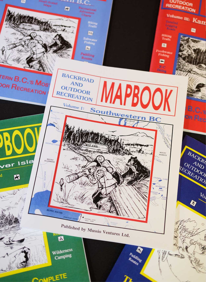
The Original 1993 Southwestern BC Mapbook
$9995Unit price /Unavailable

Shuswap & Adams Lake BC - Destination Map
$1995Unit price /Unavailable
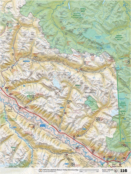
NOBC116 Wall Map - McBride East (Tete Juane Cache)
From $4995Unit price /Unavailable
NOBC115 Wall Map - McBride West
From $4995Unit price /Unavailable
FVIBC44 - Cowichan River (West) - Wall Map
$5995Unit price /Unavailable-
$5995Unit price /Unavailable
-
$5995Unit price /Unavailable
Shop by Map Series
Featured stories
Showing articles tagged “British Columbia”

