



Cross-Country Ski, Snowshoe & Fat Bike

Explore the Best Winter Trails

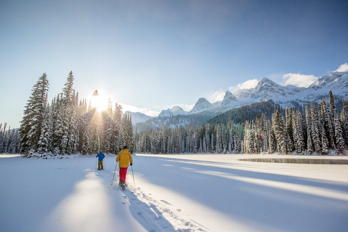
No strangers to cold weather, plenty of outdoor adventure awaits throughout the winter months. Regardless of your preference, cross-country skiing, backcountry skiing, snowshoeing or fat bike riding, our country serves up spectacular destinations from coast to coast.

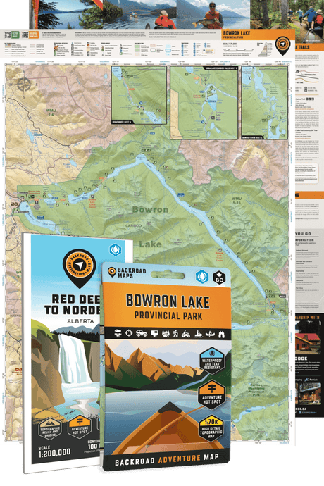
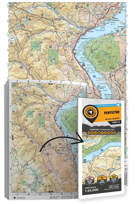
Our maps are packed with information for winter warriors. A snowflake or skier icon on any of our maps means winter adventure awaits, from cross-country ski clubs to parks to glacier ice hikes and more. Our Mapbooks, GPS Maps, BRMB Maps App and Web Map also include written descriptions of these ski areas, including but not limited to the number of kilometres of trails, grooming information, classic, skate, snowshoe routes, fat bike trails, and directions to trailheads. Many include elevation details so you know in advance just how challenging your winter trip may be.

Backroad Maps for Cross-Country Ski, Snowshoe & Fat Bike

  • MAP FEATURES

    • Trailheads with trail names & activity symbols
    • Clearly defined line styles for different activities
    • Cross-country ski and snowshoe trails
    • Boundaries identifying parks & nature areas, closures, First Nations reserves, private areas and more
    • Detailed topographic contours & shaded relief
  • DESCRIPTIONS

    • The Winter Adventures section at the rear of our Backroad Mapbooks series provides full details on each area including the number of kilometres of trails, grooming details, snowshoe routes, warming cabins, chalets, directions to trailheads and more.
    • Write-ups are also available on the GPS Maps for Garmin devices and the BRMB Maps app for mobile devices.
  • OTHER POINTS OF INTEREST

    • Ski Resorts
    • Alpine Huts
    • Backcountry Lodges
    • Cross-Country Ski Cabins
    • Ski Touring Huts
    • Snowmobile Warming Shelters

Featured stories

Showing articles tagged “Winter”

View all articles
No articles currently match this tag.

What makes our maps different?

Our maps are prized among the outdoor community for their detail and accuracy, clearly showing changes in elevation, natural features such as mountain peaks and glaciers, and recreational Points of Interest like hiking trails, fishing holes and campsites. Most notably, we provide the most comprehensive coverage available in Canada for backcountry roads including logging and resource roads, deactivated roads and unclassified roads. For this reason, our maps are used not just by outdoor recreationists but by government agencies and Search and Rescue teams as well.