Loading...
Washington State GPS Maps
For Garmin GPS Units
$9995
Unit price
/
Unavailable
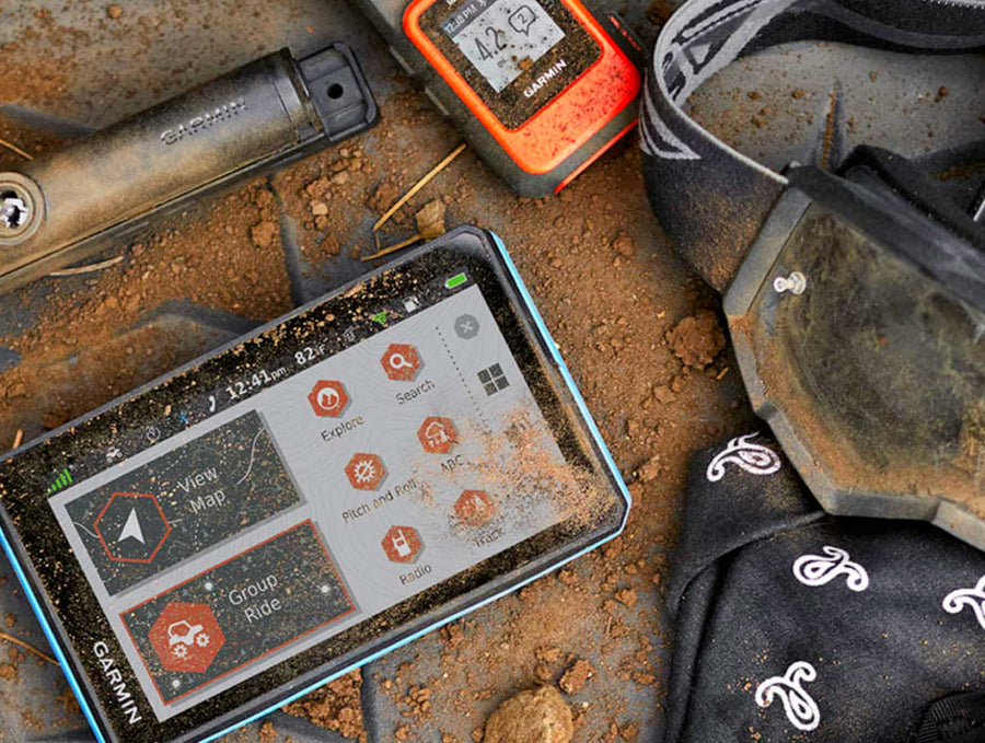
✔️ Best for: hunting, ATVing, snowmobiling, overlanding, remote fishing trips and backcountry exploring.
MicroSD Card VS Digital License
MicroSD Card VS Digital License
PLUG & PLAY MicroSD Card
- Plug & Play Installation: Simply insert the card into your Garmin GPS unit, and you're ready to go!
- Card Size: Pre Programmed on 8, 16 or 32GB microSD card. Our GPS maps occupy up to 2GB of space on the SD card.
- Coverage: Single Province or Pre Built Combo Maps
- SD Card Adapter: The maps are stored on a microSD card. The packaging includes an SD card adapter for older units.
DIGITAL LICENSE
- Immediate Installation: After your purchase, you can download the maps and install them on your device right away using Garmin Basecamp. No shipping required.
- Coverage: Customizable Maps, Build and combine maps the way you need.
- Compatible with Garmin Smartwatches: Install our maps on your new Fenix, Descent, MARQ, or other Garmin smartwatches. Check the list for compatible models.
Map Coverage and Version Summary
Map Coverage and Version Summary
Scale: Dynamic Scale
Version:
Covering these GPS Maps are the most detailed, comprehensive and up-to-date GPS maps available on the market.
BONUS App access
BONUS App access
Includes free access to the BRMB Maps smartphone App and Web Map. (limited time)

More Backroads. More Trails.More to Explore.
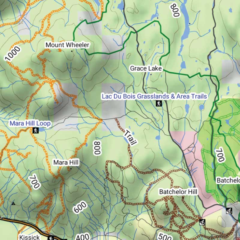
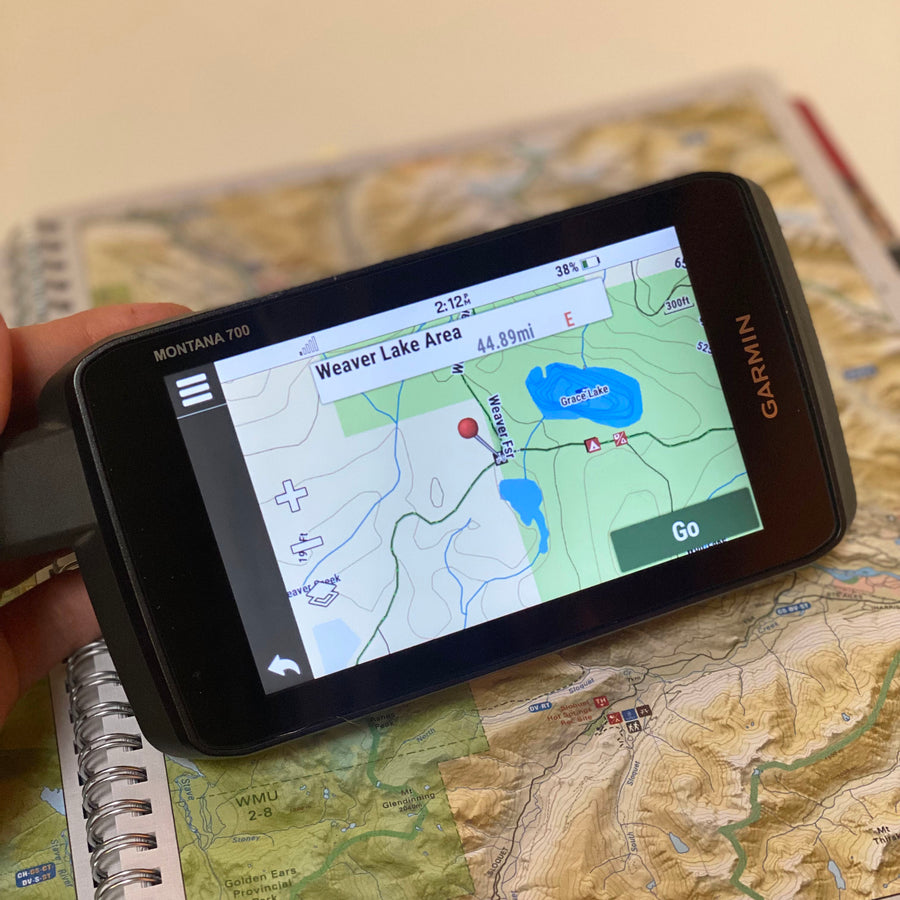
Get detailed backcountry maps for your Garmin GPS, covering areas that regular road maps miss. Explore remote backroads, ATV and snowmobile trails, hunting zones, and Crown and Private land.
Backroads & Land Information
Forest service roads, resource roads, topography, Crown and private land information.
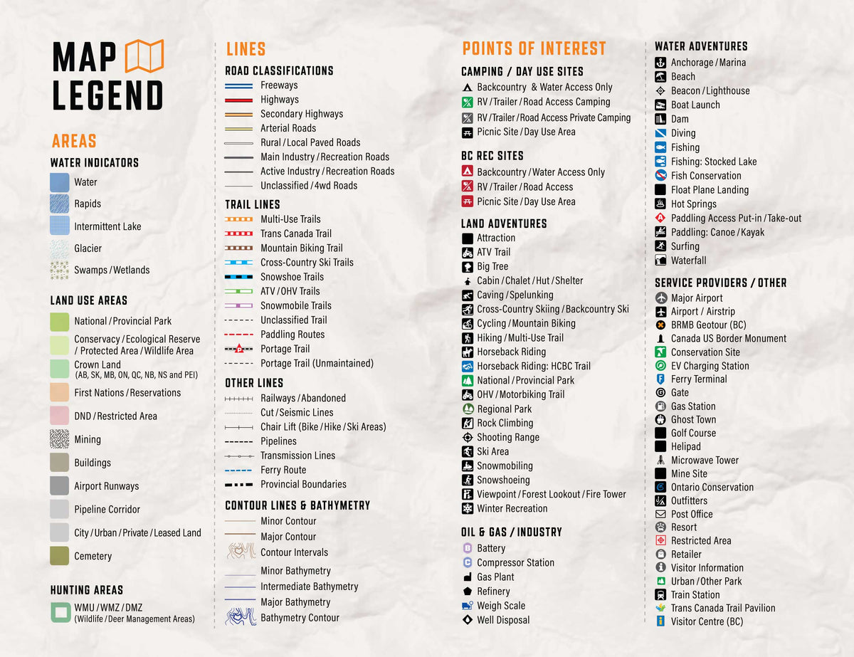
Trails, Hunting & Recreation POI
ATV and snowmobile routes, hunting areas, fishing lakes, campsites and outdoor points of interest.
Works Offline on Compatible Garmin GPS Units
Offline maps stored on your Garmin, ready to use without cell service or phone battery concerns.
Washington State GPS Maps Features
Coverage and Versions
Included in Washington State GPS Maps V2020
Included in Washington State GPS Maps V2020
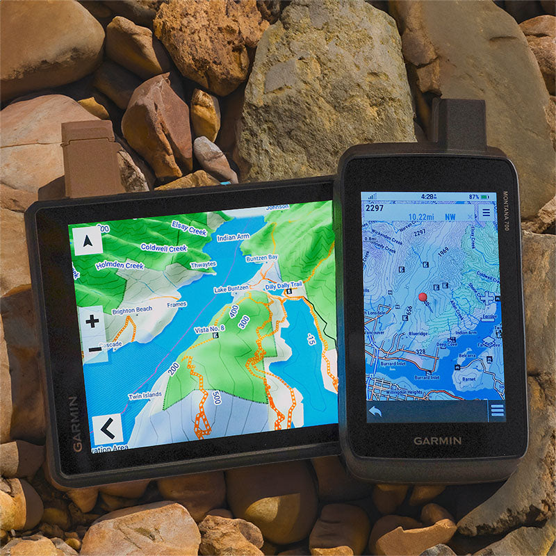
Situated at the northwest corner of the continental United States, Washington State is a land of unparalleled beauty, where rainforest-clad mountains tower over the wild Pacific coast and vast stretches of undeveloped wilderness provide the perfect backdrop for endless outdoor adventures. Whether you are traveling a highway, hiking trail or forest service road, Backroad Mapbooks Washington GPS Maps are your ultimate tool for navigating the Evergreen State. These Garmin-licensed GPS Maps feature easy-to-read elevation contours and reveal all the natural features such as creeks, wetlands and glaciers, plus every road and trail that is left off of other maps. Ten categories of Adventure Points of Interest guide you to the best outdoor recreation sites Washington State has to offer, whether you are day hiking from Seattle or backcountry hunting, fishing, paddling, ATVing, snowmobiling and more. From the Olympic Peninsula to the Cascade Mountains, down to the Columbia River basin and back up to the San Juan Islands, Backroad Mapbook GPS Maps provide an impressive level of detail and adventure information.
Washington State Backroad GPS at a Glance:
- Combining city and backcountry navigation with enhanced outdoor recreation information, this product amalgamates all of Washington State into one Backroad GPS Map
- Close to 210,000 miles of roads combined into one map, including 107,000 miles of routable roads and 103,000 miles of non-routable backcountry roads, deactivated roads and four-wheel drive roads
- Public Land Survey System sections (PLSS) Search to help navigation
- Lake bathymetry (depth contours) for many of the state’s fishing lakes
- Clearly marked private and public lands including land owned by the Bureau of Land Management, US Forest Service, US Fish & Wildlife Service, National Park Service, Department of Defense, Department of Energy and US Army Corps of Engineers
- Marked Game Management Units (GMUs) for hunters
- Tens of thousands of miles of multi-use hiking, biking and cross-country skiing trails and paddling routes, with marked trailheads and access points/portages
- Close to 5,000 miles of motorized trails for ATV and snowmobile with staging areas
- Thousands of fishing hotspots, parks and conservation areas, campsites, hunting areas, winter recreation areas and more
- Close to 19,000 land and water geographic features
Land Information, Roads, and Trails
Land Information, Roads, and Trails
Adventure Points of Interest
Adventure Points of Interest
Backroad Extras are where you find all the POI information specific to our Backroad GPS Maps.
Map Format & Compatibility
Map Format & Compatibility
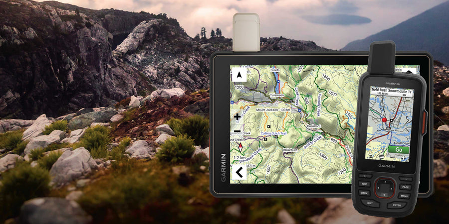
Our Backroad GPS Maps are designed to be compatible with most Garmin GPS Vehicle or Outdoor models made in 2012 and later that accept SD or Micro-SD cards.
However, it’s important to note that some units may experience issues with display or feature availability, depending on the model version.
You can check if your unit is compatible here.
Map Format
- Preloaded on an 8, 16 or 33 GB microSD card for easy installation (digital download also available)
- Seamless topographic mapping at 1:20,000 and 1:50,000 base scales
- Shaded relief and 3D views on supported Garmin devices
GPS Maps Guides
Showing articles tagged “How to Guides”