
Maps for British Columbia

Maps for British Columbia

Discover the best outdoor maps for every corner of British Columbia. From the coastal rainforests of Vancouver Island to the rugged peaks of the Kootenay Rockies, Backroad Maps helps you explore BC like a local. Choose from guidebooks, folded maps, wall maps, GPS maps, and our mobile app. Perfect for hiking, camping, fishing, paddling, off-roading, and more.

Shop by Region

Shop by Map Series

View as

  • Find your Maps for British Columbia

    Find your British Columbia map by region:

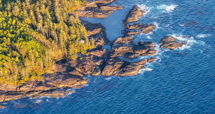
    • Vancouver Island: Victoria, Nanaimo, Tofino and the Gulf Islands, north through Campbell River to Port Hardy.
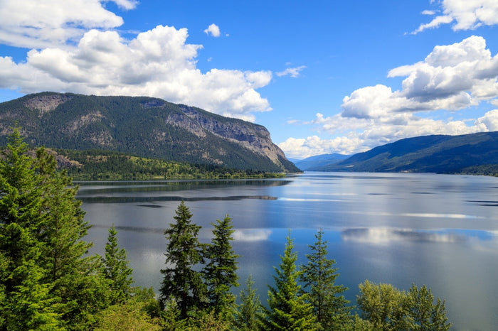
    • Thompson Okanagan: Kelowna, Vernon, Penticton, Kamloops and the Shuswap, extending north to Valemount and McBride.
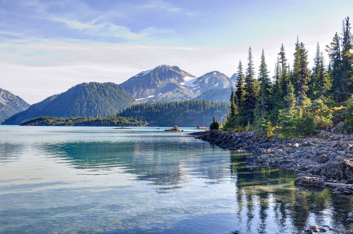
    • Vancouver Coast & Mountains: Vancouver, the Fraser Valley, Squamish, Whistler and the Sunshine Coast, inland to Lillooet and Cache Creek.
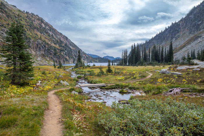
    • Kootenay Rockies: Nelson, Cranbrook, Fernie and the Columbia Valley, plus Revelstoke and Golden.
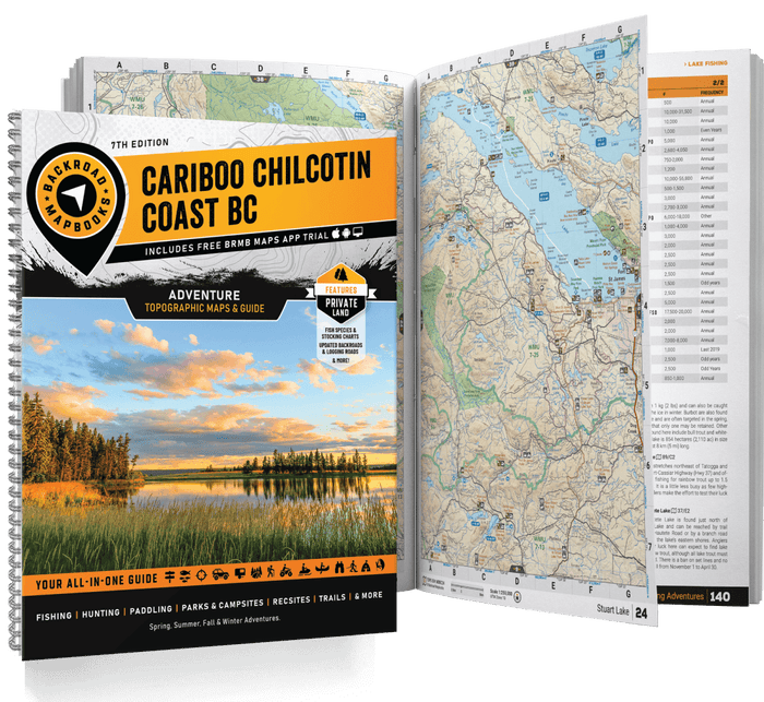
    • Cariboo Chilcotin Coast: 100 Mile House, Williams Lake and Quesnel, west across the Chilcotin to Bella Coola and Bella Bella.
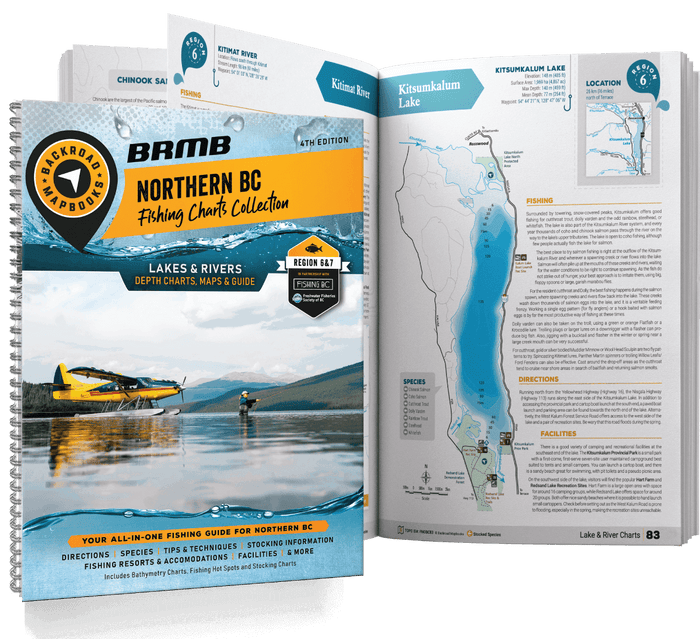
    • Northern BC: Prince George, Smithers, Terrace, Prince Rupert and Haida Gwaii, plus Peace Country, Stewart and Atlin.

    Coverage can overlap. Check individual maps for your destination.

  • Choose the right map format

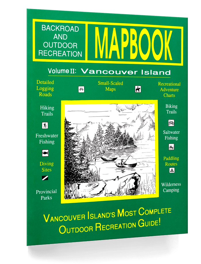
    Backroad Mapbooks: Start with an overview of each British Columbia region. These regional books are great for trip planning, discovering local highlights and connecting the places you want to visit.

    Fishing Mapbooks: Plan fishing outings with detailed depth charts for top fishing lakes and rivers in the region. Choose these books when understanding the water is a priority for your trip.

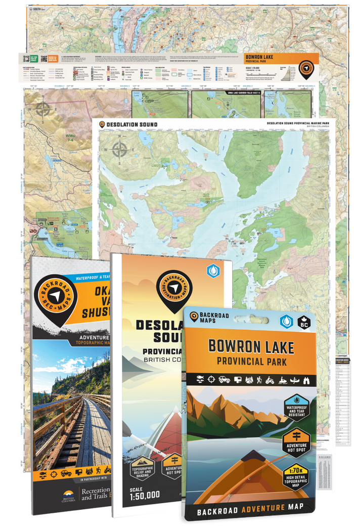
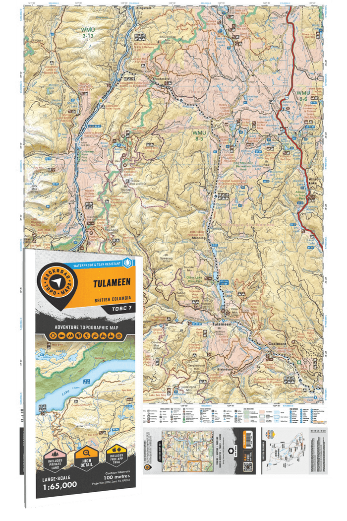
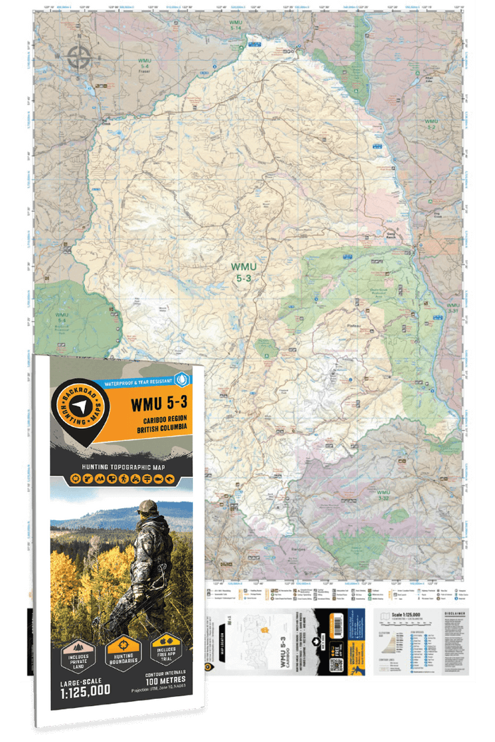
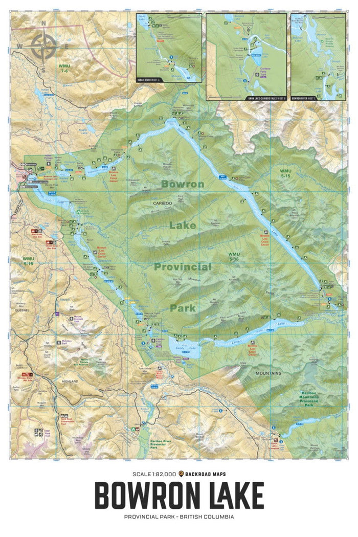
    Folded Maps: Choose a folded map when you want to explore a specific area in greater detail. Popular Folded Maps focus on well-known recreation areas. Hunting Maps focus on specific hunting areas. The TOPO Maps series divides the entire region into detailed sections that correspond to pages in the Backroad Mapbooks, so you can select the sheets for your trip. Check individual product coverage before ordering.

    Folded Fishing Charts: For a closer look at a particular fishing destination, compare the BC Fishing Charts with the Fishing Mapbooks. The folded format lets you choose the specific lake chart you need.

    Wall Maps: Choose a map to display in your home or office, whether you want to showcase a favourite destination or keep the region in view while planning. Wall Maps are created to fit standard frames; check the listed dimensions to find the right size.

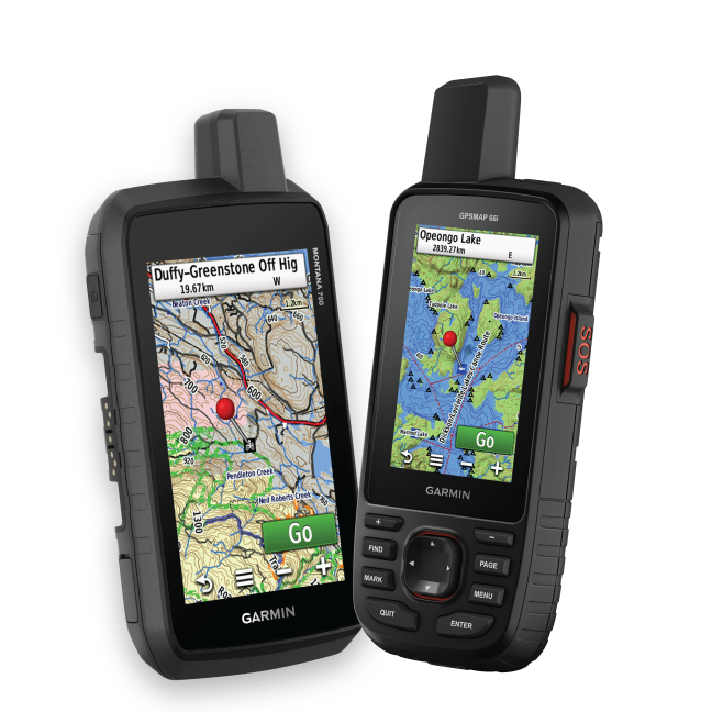
    Garmin GPS Maps: Choose Backroad GPS Maps for mapping on a compatible Garmin device. They suit advanced users and professional applications where a dedicated GPS unit is part of the setup. Check device compatibility and geographic coverage before buying.

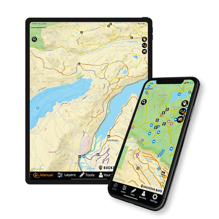
    BRMB Maps app: Explore British Columbia with a user-friendly digital option that covers all of Canada. Use the app to plan and explore across regions without choosing a separate physical map for each destination.

    Choosing between digital formats? Compare the BRMB Maps app and Backroad GPS Maps to find the option that fits your device and how you explore.

Shop by Map Series

Compare /4

Loading...