Land & Hunting Information
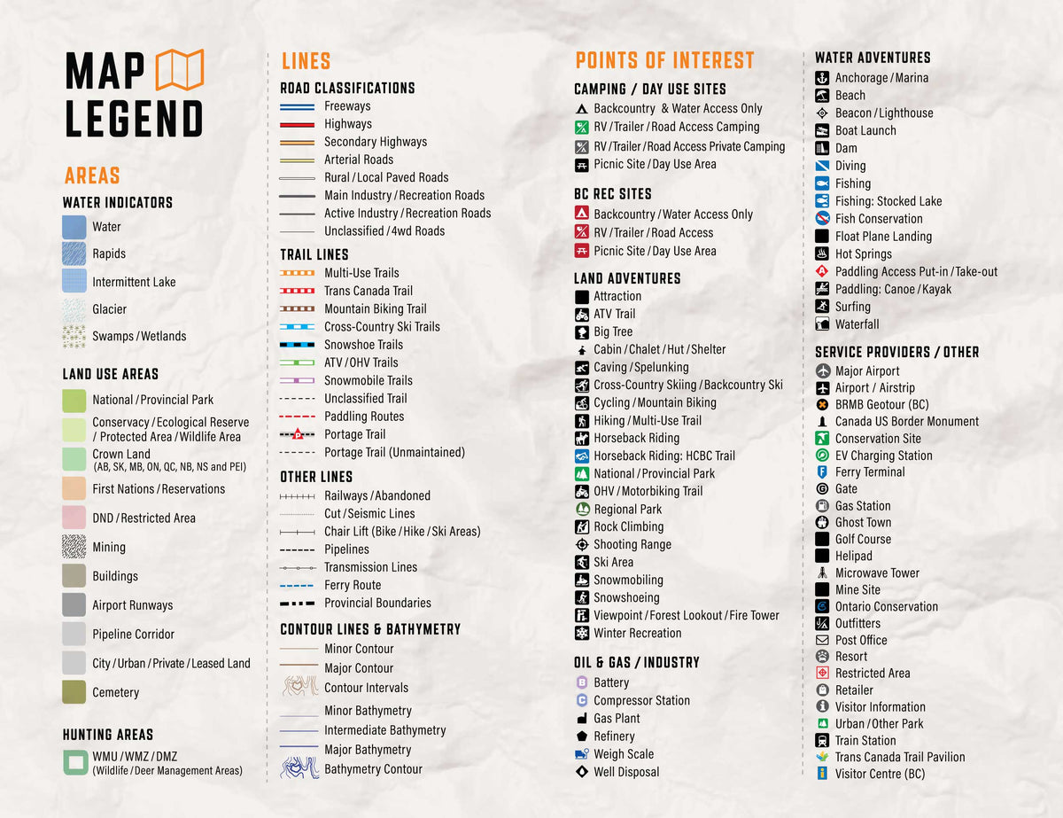
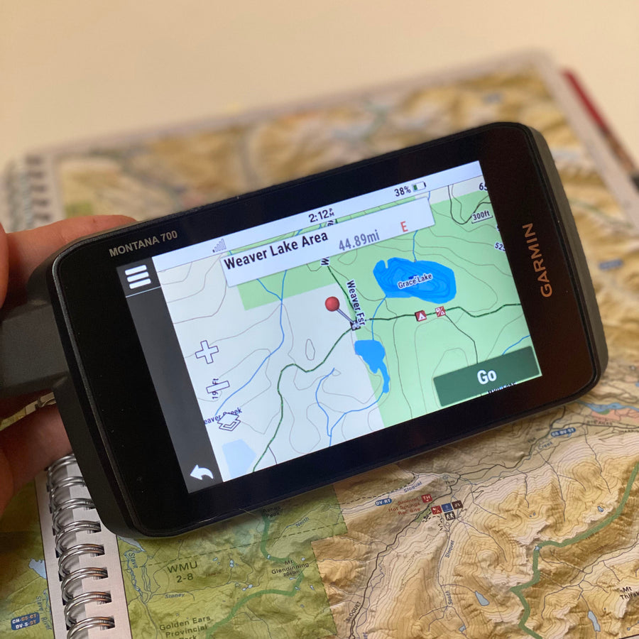
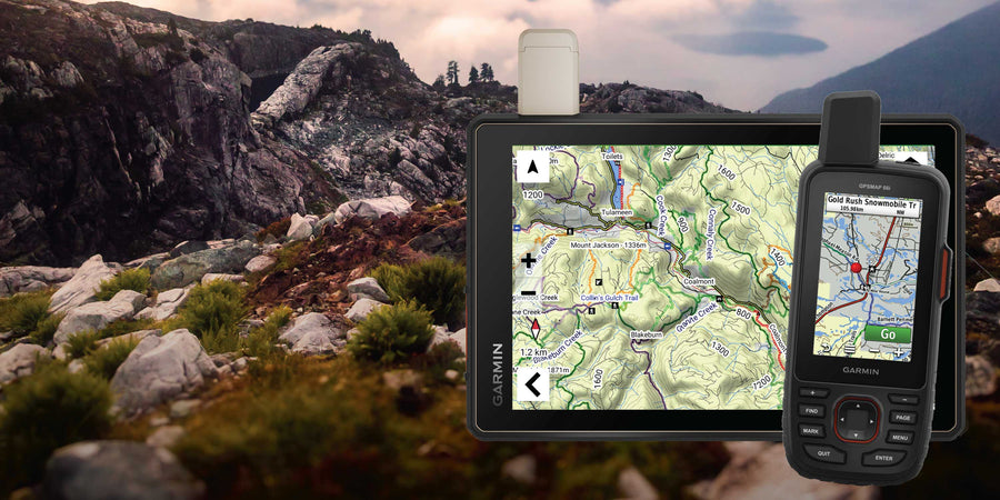
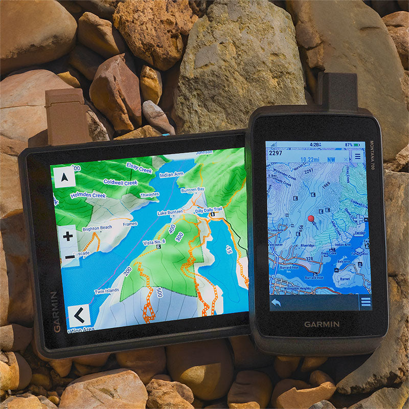
Explore British Columbia, Alberta, Saskatchewan and Manitoba with detailed land-use information, Crown land in supported provinces, private land information where available, hunting management areas, parks, conservation sites and protected lands. Additional features include First Nations locations, wildlife management zones, resource areas and topographic information for remote exploration.
Roads & Backcountry Access
- 919,364 km of routable roads, plus 685,933 km of non-routable road data.
- V2027 adds 9,800+ km of routable roads and includes improvements to approximately 20,000 road names and classifications.
- Extensive coverage of highways, forest service roads, logging roads, resource and industrial roads, rural roads and remote backcountry routes.
Trails & Outdoor Recreation
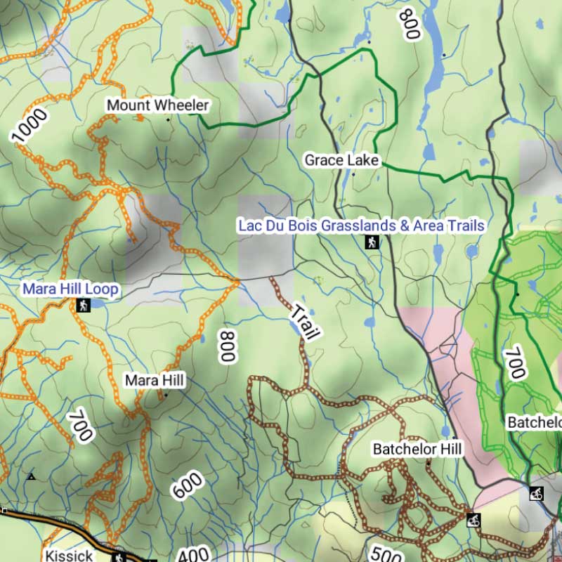
- 58,786 km of snowmobile routes
- 47,445 km of ATV routes
- 76,315 km of multi-use trails
- 65,868 km of paddling routes
- V2027 includes 4,200+ km of added or updated trails and routes, plus over 630 new trailheads and staging areas.
Additional information includes fishing waters, campsites, boat launches, overland routes, conservation areas, hunting information and thousands of outdoor recreation destinations across Western Canada.