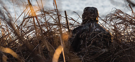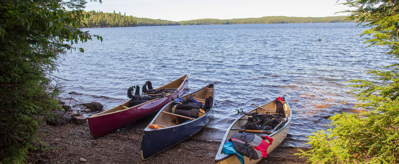


Canada is home to some of the best paddling routes in the world — from serene canoe journeys through tranquil lakes to exhilarating whitewater kayaking adventures. With Backroad Maps, you have the tools to navigate the waterways with confidence, whether you’re a seasoned paddler or a first-timer.
- Navigate waterways easily: Our maps highlight canoeing and kayaking routes, including portages, rapids, dams, and waterfalls. Find your way with clear markings for put-ins, take-outs, and campsites.
- Plan your paddling adventure: Detailed descriptions of route distance, difficulty level, portages, and scenic highlights help you choose the right route for your skills and interests.
- Access the best put-ins & take-outs: With industry-leading road and trail coverage, you'll always know the best way to access your paddling route, from highways to logging roads and backcountry paths.

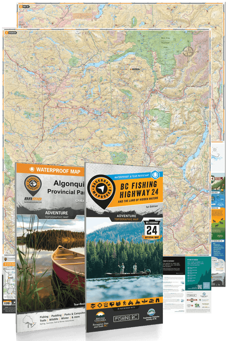
Choose Your Map Format
- BRMB Maps App: Find paddling routes with georeferenced, interactive maps, access offline features, and track your progress. Plus, explore user-shared photos and reviews of local routes to find your next adventure.
- GPS Maps for Garmin Devices: For the most reliable and detailed paddling coverage, our Garmin-compatible GPS maps help you navigate waterways, whether you're on a quiet lake or tackling swift currents.
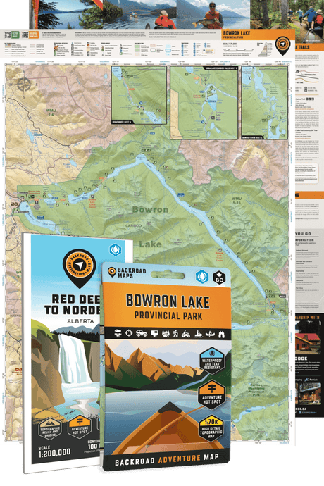
- Backroad Mapbooks: Great for pre-trip planning, these comprehensive guides include written descriptions, route maps, portages, and amenities, offering all the details you need for a smooth paddle.
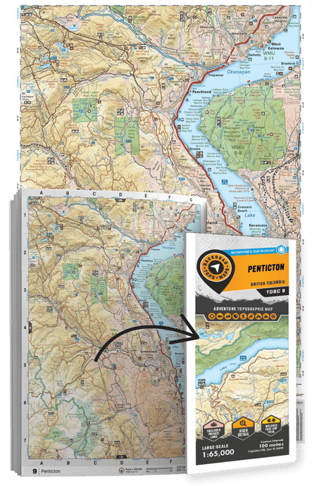
- Folded Maps: Waterproof and durable, these handy maps highlight key paddling routes and access points, perfect for quick reference on the water.
- Wall Maps: For an overview of paddling routes across Canada, our large-scale wall maps give you a visual guide to waterways, ideal for trip planning and route selection.