
Northern bc
"Great map However you can’t get north western bc map But I did get the map book Which is a great resource for an upcoming road trip"


Couldn't load pickup availability
ISBN: 978-1-926806-73-0
UPC: 622098002515
Release: 2015
Edition:
Dimensions: 86 x 117 cm (34 x 46.25 inches)
Map Scale: 2 sides @ 1 : 340,000
Double-Sided
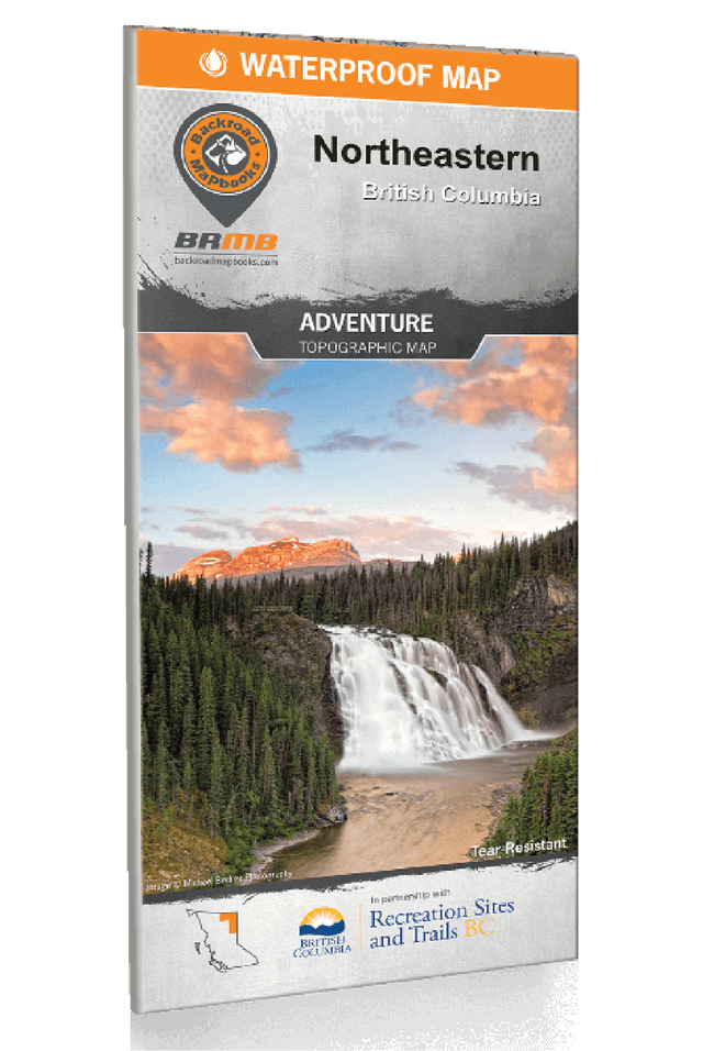
Northeastern BC - Recreation Map
2 sides @ 1 : 340,000
Large Format
86 x 117 cm (34 x 46.25 inches)
Waterproof & Tear-Resistant
Northeastern BC is a vast and wild land of unlimited adventure opportunity. From the rushing, majestic rapids of the Liard River to the skyscraping peaks of Northern Rocky Mountains Provincial Park, there is an endless list of destinations for outdoor adventurers to visit and enjoy. This is an area dominated by nature, where grizzly bears fish from glacial streams and forests spread across deep valleys surrounded by soaring mountaintops. For an authentic escape into the undeveloped, Northeaster BC should be at the top of the list for any adventure seeker. Secluded campsites, fabled rivers and ancient forests are just part of the bounty to be had in this majestic area. Whether you like to kick up some mud behind the handlebars of an ATV or keep things quiet on a solo backpacking journey, Northeastern BC has something special to offer.
To help you navigate this sprawling wilderness we have put every effort into creating the most detailed, up-to-date and easy to use topographic map available on the market. The latest edition of our Northeastern BC Waterproof Map provides you with everything you have come to expect from a Backroad Mapbooks Product – unparalleled cartographic detail, comprehensive road coverage and meticulously researched Points of Interest. This dual sided 28” x 45” map is printed on durable, waterproof paper to withstand any storm that Mother Nature throws at you. With clearly labelled trailheads, airports, Oil and Gas sites, campgrounds, paddling routes and more, our Northeastern BC Waterproof Map will have you navigating this wild landscape with confidence. Covering the area around Fort Nelson, Fort Saint John, Tumbler Ridge and beyond, you won’t find a better guide to Northeastern BC’s backcountry and resource areas anywhere.
Overall rating: 5.0 / 5 from 1 reviews.
Review topics: [].
"Great map However you can’t get north western bc map But I did get the map book Which is a great resource for an upcoming road trip"

Overlanding in BC means driving the province's enormous network of forest service and resource roads to reach free Crown-land camping most people never see. Roughly 58,000 km of forest service...

Where the rugged peaks of the Coast Mountains meet the waters of the Harrison and Fraser rivers, the Harrison River Valley offers some of British Columbia's most diverse outdoor experiences....

Home to vineyards, orchards, small farms and endless outdoor adventure, the Naramata Bench along the eastern shore of Okanagan Lake is one of British Columbia's must-visit destinations. While it's best...

Finding legal places to ride an ATV in Canada comes down to three things: a trail network, Crown land where off-road vehicles are allowed, and the right permit, registration, and...

Canadian residents can camp free on most Ontario Crown land for up to 21 days, no fee and no reservation. Here are the rules, the best regions to head to,...

The Kamloops region is one of the best stillwater trout fisheries on earth, with hundreds of stocked lakes within a short drive. Here are the top lakes to fish this...

Crown land covers about 94% of British Columbia, and most of it is open for free camping. Here is how the rules work, the best regions to head to, how...

Many anglers overlook Saskatchewan, assuming it’s nothing but prairie, but they’re missing out on some truly exceptional fishing. The province is home to more than 100,000 lakes, a fact that...
Scale
Area
Dimensions
Pages
Release
Features