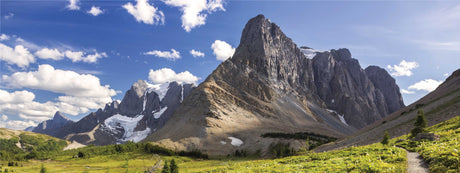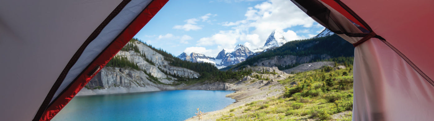
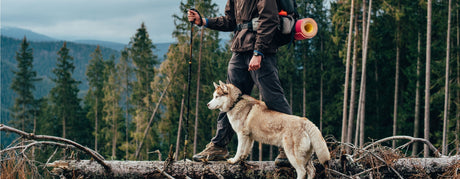
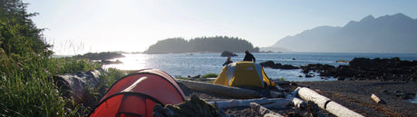
British Columbia is home to some of the most scenic and accessible recreation sites in Canada, from roadside campsites to secluded spots deep in the forest. With Backroad Maps, you’ll have everything you need to find and explore these stunning outdoor destinations.
- Easily navigate to remote sites: Our maps show hundreds of recreation sites, from lakeside campsites to backcountry getaways. Whether you’re driving a highway or heading up a rugged logging road, you’ll always find the best access route.
- Explore nearby outdoor activities: In addition to campsites, our maps include nearby hiking and mountain biking trails, fishing holes, and other natural attractions to enhance your outdoor experience.
- Access key site details: With detailed descriptions of each recreation site, you’ll get all the information you need, including amenities, number of campsites, reservations, and activity options.

🏕 Choose Your Map Format
- BRMB Maps App: Find recreation sites with georeferenced maps, track your location, and navigate offline in remote areas. Access detailed site descriptions, nearby trails, and user-submitted reviews and photos.
- GPS Maps for Garmin Devices: Perfect for those who prefer using a GPS device, our Garmin-compatible maps offer detailed coverage of BC’s recreation sites and surrounding activities.
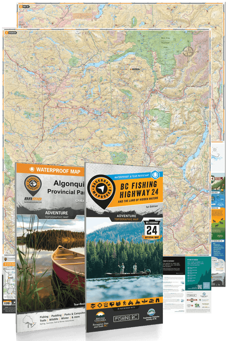
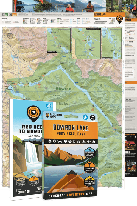
- Backroad Mapbooks: Plan your outdoor trips with this all-in-one guidebook, featuring maps, descriptions, and detailed information about BC’s recreation sites and nearby outdoor opportunities.
- Folded Maps: Waterproof and portable, these maps offer easy access to essential recreation site information for quick reference when you’re on the road.
- Wall Maps: For an overview of BC’s recreation sites and outdoor adventures, our wall maps provide a visual guide, perfect for trip planning.


![ATV [OHV] Trails](http://backroadmapbooks.com/cdn/shop/articles/bc-atv-header_4a23a1dc-c663-4d65-a1a3-da0281e26317.jpg?v=1745409291&width=460)