The Ultimate Waterproof Map Bundle for your Cottage Country Adventures
Cottage Country Backroad Mapbook
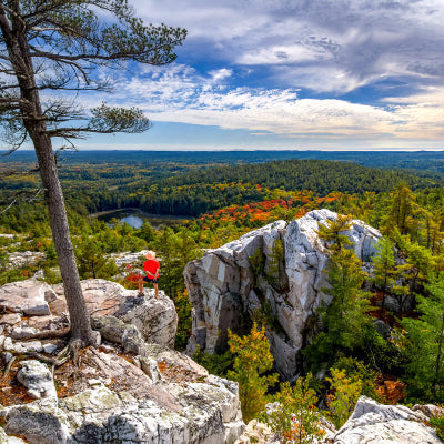
From the charming lakeside cottages of Muskoka and Kawartha and the natural splendour of Algonquin Provincial Park to the bustling city streets of Ottawa and Toronto, this Mapbook is your ultimate guide to one of the country's most popular outdoor recreation destinations. Known as the heart of Ontario's outdoors, Cottage Country is home to thousands of scenic lakes and rivers, vibrant forests, sandy beaches, and the rugged and rocky Canadian Shield. Algonquin Park is one of the world's most popular canoeing destinations, attracting people from far and wide to paddle, camp, and fish among its iconic natural beauty. Paddle along a circuit of quiet lakes and meandering rivers, hike a portion of the Trans Canada Trail as it travels from St. Charles to Ottawa, or discover historic sites and museums in downtown Ottawa. No matter where your adventure takes you, there is plenty to explore in this beautiful region.
Algonquin Provincial Park ON Waterproof Map
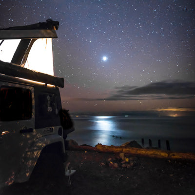
Spanning an area of 7,653 km2 (2,955 mi2), Algonquin Park is not only one of Canada's largest provincial parks, but also one of its most popular. It will take just a few steps into this fabled wilderness to find out why. Sprawling forests of red and white pine surround an endless patchwork of pristine lakes (about 2,400 in total), where you can paddle a canoe or kayak and feel your troubles melt away with each stroke. A secluded, water-access campsite is always just around the corner, so you can get away from it all for days at a time. Adjust your eyes to the stillness of the forest and you may pick out the well-camouflaged shape of a moose making its way along the shoreline. Anglers will delight at the abundant fishing opportunities, with brook trout and lake trout found in large numbers. At night, a glittering canvas of stars spreads across the sky, while the call of the wolf echoes in the distance. From the Barron Canyon to the Highway 60 Corridor and from the East Gate to the West Gate and beyond, this is a wild wonderland of limitless outdoor adventure. To help you make the most of your time in this incredible park, the Backroad Mapbooks team has put together a two-in-one park map with an unparalleled level of detail. This next-generation park map covers the entire park area on one side, with all of its canoe routes, campsites, portages and trails. The other side of the map focuses specifically on the Highway 60 Corridor and the nearly overwhelming amount of adventures and activities you can access along this main corridor. This map also includes helpful planning tools like a canoe route chart (complete with distance and difficulty), trail chart, campsite details, stocked fish chart and more. The map also includes numerous updates from our previous version, including the addition of labelled sportfish species. Best of all, this 71 cm x 102 cm (28 in x 40 in) map is printed on durable waterproof paper and represents the height of cartographic sophistication with easy-to-read colour coding and industry-leading topographic detail. You will not find a better guide to Algonquin Park anywhere!


