In July 2021, outdoor adventurers were heartbroken to learn that catastrophic flooding had devastated the iconic Berg Lake Trail in Mount Robson Provincial Park. A rare combination of extreme heat, heavy rainfall, and rapid snowmelt triggered landslides, washed out bridges, obliterated trail sections, and buried campgrounds under debris. BC Parks had no choice but to close the entire trail indefinitely.
Over the past four years, crews have worked tirelessly to rebuild and reimagine this beloved route. The trail to Kinney Lake reopened in 2023, followed by the section to Whitehorn Campground in 2024 – complete with a new trail alignment and bridges at the far end of Kinney Lake and across the Robson River. Now, in late June 2025, the entire trail is once again open to hikers. The stretch from Whitehorn to Berg Lake has seen extensive upgrades, including campground improvements and realignments to reduce flood risk. In total, the restoration effort has cost over $5 million.

And what a trail it is. Those lucky enough to secure a backcountry reservation are rewarded with a journey through towering peaks, turquoise lakes, thundering waterfalls, and ancient glaciers. The 23-kilometre (14.3-mile) one-way trek begins at the end of Kinney Lake Road, just off Highway 16. It follows the Robson River past Kinney Lake and through the dramatic Valley of a Thousand Falls, climbing 800 metres (2,625 feet) to the shores of Berg Lake—set beneath the towering summit of Mount Robson, the highest peak in the Canadian Rockies.
Seven campgrounds are spaced along the route: Kinney Lake (18 sites), Whitehorn (22), Emperor Falls (9), Marmot (7), Berg Lake (26), Rearguard (6), and Robson Pass (15). While you can reserve a specific campground, tent pads are first-come, first-served upon arrival. But with the scenery this spectacular, is there really a bad spot? Reservations are available at camping.bcparks.ca, and they go fast. Set alerts and keep checking for cancellations.
The best weather – and the biggest crowds – arrive in July and August. June can still bring lingering snow at higher elevations, while September offers crisp air, golden larches, fewer bugs, and quieter trails. While some experienced hikers tackle the trail in a single day, most choose to slow down and savour the journey. Two days is great. Three or four? Pure bliss.
Multi-day hikers can also explore a network of side trails branching from the main route, including Hargreaves Lake, Mumm Basin, Toboggan Falls, and out-and-back adventures over Robson Pass or Snowbird Pass.

Visitor Checklist for Berg Lake Trail
Before You Go:
- ✅ Reserve campsites early at camping.bcparks.ca
- ✅ Check trail conditions and weather forecasts
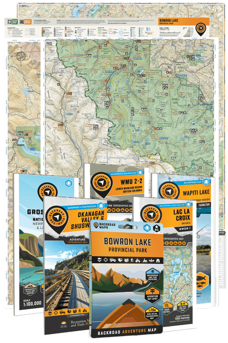
- ✅ Download offline maps or bring a physical trail map (Backroad Maps Berg Lake Trail Map recommended)
- ✅ Pack the 10 Essentials (navigation, food, water, layers, etc.)
- ✅ Set alerts for cancellations if reservations are full
On the Trail:
- 🥾 Wear sturdy, waterproof hiking boots
- 🧥 Dress in layers – the weather can change quickly
- 💧 Carry a water filter or purification tablets
- 🐻 Bring bear spray and know how to use it
- 🏕️ Arrive early to claim your tent pad (first-come, first-served)
- 📸 Don’t forget your camera – this trail is a stunner
Leave No Trace:
- 🚯 Pack out all garbage
- 🔥 No campfires allowed – use camp stoves only
- 🐾 Keep wildlife wild – store food properly and don’t feed animals

With over 20,000 visitors a year, the Berg Lake Trail is one of the crown jewels of the Canadian Rockies. For planning tools, check out Backroad Maps’ updated Berg Lake Trail Map, the Canadian Rockies Backroad Mapbook, or the BRMB Maps App.