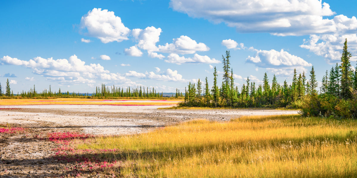
Dans le nord de l'Alberta, les communautés sont rares et les routes secondaires semblent ne jamais finir. Les amateurs de plein air peuvent les suivre jusque dans la forêt boréale, le long de rivières isolées et vers des lacs paisibles pour pratiquer l'overlanding, le quad, la randonnée, le canoë et la pêche. Quand vient le moment de s'arrêter pour la nuit, les terres de la Couronne et de nombreux parcs sauvages de l'Alberta offrent des possibilités de camping sauvage gratuit. Voici quelques-uns de nos endroits préférés pour explorer et séjourner un moment.

Parc sauvage de la rivière Dillon
La rivière Dillon est une excellente option pour ceux qui apprécient autant une conduite hivernale robuste que la destination elle-même. Au sud-est de Fort McMurray, il n'existe qu'une seule route menant à ce vaste territoire boréal où la pêche, l'observation de la faune et l'exploration de l'arrière-pays peuvent occuper toute la journée. La route de glace Loche mène vers l'est depuis Christina Crossing jusqu'au lac Garson, à la frontière de la Saskatchewan, à la limite nord du parc. Avec son accès difficile et son sentiment de grands espaces, la rivière Dillon offre une véritable destination sauvage pour les aventuriers hivernaux endurcis.
Forestry Trunk Road
La Forestry Trunk Road est faite pour les voyageurs qui aiment découvrir où mène une route de gravier. Suivez-la à travers les contreforts boisés, faites une pause au bord d'une rivière, partez en randonnée ou lancez votre ligne avant de trouver un endroit tranquille pour passer la soirée. Avec des paysages changeants et d'innombrables occasions de transformer une courte virée en une longue aventure, elle incarne la liberté qui attire les gens vers le camping sur les terres de la Couronne. Seule une petite partie de l'autoroute 734 se trouve dans le nord de l'Alberta, mais il existe plusieurs sites de camping sauvage le long de la route, notamment des arrêts au lac Economy et à la rivière Simonette, avec des excursions latérales depuis la route Corp et Canfor 2000 vers Bison Flats et McLeod Flats.

Northern Alberta Backroad Mapbook - page de carte 17
Fox Creek – Little Smoky
Les forêts autour de Fox Creek et Little Smoky constituent un point de départ naturel pour un voyage de camping dans l'arrière-pays du nord de l'Alberta. En quittant l'autoroute, le paysage s'ouvre sur un vaste réseau de routes de gravier, de clairières boisées et de forêt boréale calme, un habitat privilégié pour le troupeau de caribous des bois de Little Smoky. Avec quatre rivières — la Smoky, la Wasskahigan, la Simonette et la Latornell — qui la traversent, la route Canfor, qui s'étend vers l'ouest depuis l'autoroute 43, constitue un excellent point de départ. Elle se connecte également à la Forestry Trunk Road, ouvrant encore plus de possibilités.
Parc sauvage du lac Hubert
Le parc sauvage du lac Hubert combine la pratique du quad et le camping sauvage dans la forêt boréale au nord de Westlock. Parcourez les sentiers désignés du parc à travers un complexe de dunes de sable parsemé de plusieurs petits lacs et d'une forêt de pins gris. Sans sites de camping aménagés ni installations, le voyage donne l'impression d'une aventure en totale autonomie. Emportez ce dont vous avez besoin, suivez les sentiers dans la forêt, surveillez le troupeau de caribous qui erre dans le parc et profitez-en pour une excursion d'un week-end complet. Les détails sur cette zone de conduite se trouvent dans la section « ATV Adventures » du Northern Alberta Backroad Mapbook.

Northern Alberta Backroad Mapbook
Parc provincial Lakeland
Mettez votre canoë à l'eau, suivez une chaîne de lacs et laissez chaque portage vous emmener plus loin dans la forêt tranquille de Lakeland. La récompense, à la fin de la journée, est un site de camping sauvage au bord de l'eau, où le souper a meilleur goût après une journée complète de pagaie. Observez les oiseaux aquatiques, pêchez en chemin ou profitez simplement du rythme du voyage à la force de vos bras. Les nombreux sites de camping désignés gratuits de Lakeland en font une introduction attrayante à un voyage en canoë de plusieurs jours dans le nord de l'Alberta. Pour plus d'informations sur les itinéraires de canoë dans le parc, consultez les « Paddling Adventures » dans le nouveau Northern Alberta Mapbook.

Parc provincial Lakeland
Parc sauvage du lac Lesser Slave
Sur la rive nord du lac Lesser Slave, l'eau libre et la forêt boréale préparent le décor d'un camping sauvage mémorable. Observez les oiseaux le long du rivage, explorez les bois environnants et installez-vous pour admirer les vastes couchers de soleil nordiques sur l'un des plus grands lacs de l'Alberta. L'attrait ici réside dans l'espace, avec la possibilité de ralentir, d'écouter l'eau et de profiter d'un côté plus calme du lac Lesser Slave.
Parc sauvage des lacs Otter-Orloff
Situé au nord d'Athabasca, atteindre le lac Orloff demande un peu d'effort, et c'est ce qui fait tout son charme. Parcourez les 4 derniers km (2,5 milles) du sentier à pied ou en véhicule hors route (VHR) jusqu'à la tour forestière de Rock Island, puis installez-vous dans une région lacustre tranquille façonnée par la forêt, les zones humides et la faune. Passez la journée à pêcher, à observer les oiseaux aquatiques ou à explorer le rivage avant de retourner à un camping sauvage rudimentaire. Otter–Orloff est particulièrement attrayant lorsque vous cherchez une destination qui semble isolée sans avoir à vous rendre à l'extrême limite nord de la province. Soyez conscient que la route d'accès n'est pas entretenue et n'est au mieux qu'un sentier passable par temps sec, mais attendez-vous à ce qu'elle soit glissante et boueuse lorsqu'il pleut.

Parc sauvage de la rivière Peace
Campez parmi les pentes boisées des vallées des rivières Peace et Smoky et faites de ces cours d'eau le cœur de votre voyage. Une journée ici pourrait signifier faire du canoë, pêcher, observer les oiseaux ou explorer la vallée à pied avant de retourner au camp alors que la lumière change sur l'eau. La rencontre de deux grandes rivières du Nord donne au parc sauvage de la rivière Peace une envergure et un caractère qui le distinguent de la région des lacs de l'Alberta.

Rivière Peace
Corridor Rainbow Lake – Zama City
Entre Rainbow Lake et Zama City, le nord de l'Alberta s'ouvre sur un vaste paysage de forêt boréale, de lacs et de zones humides conçus pour une escapade sans hâte sur les routes secondaires. L'autoroute 58 mène vers l'ouest depuis High Level, avec des routes secondaires invitant les voyageurs à explorer la forêt au sud de Rainbow Lake. Plus loin vers Zama City, le paysage laisse place aux lacs Hay–Zama, où les oiseaux et la possibilité d'apercevoir des bisons des bois ajoutent une raison supplémentaire de s'attarder. Passez une journée à explorer les routes secondaires, faites un détour pour pêcher ou pagayer à Rainbow Lake, puis trouvez un endroit calme pour camper sous le ciel nordique.
Parc sauvage Richardson
Le long voyage au nord de Fort McMurray fait partie de l'attrait de Richardson. Au-delà de la forêt boréale familière se trouve un remarquable pays de dunes de sable au sud du lac Athabasca, avec un sentiment d'éloignement qui donne à chaque arrêt l'impression d'une découverte. Explorez les dunes à pied, cherchez la faune et passez la nuit sous un immense ciel nordique. Pour les voyageurs attirés par les paysages isolés, Richardson offre l'une des aventures de camping sauvage les plus distinctives de l'Alberta. Des détails complets sur cette région et les nombreux excellents sites de camping sauvage disséminés un peu partout se trouvent sur l'application Backroad Maps. Assurez-vous de télécharger les cartes pour une utilisation hors ligne une fois que vous aurez quitté la zone de couverture cellulaire.

Parc sauvage Stony Mountain
Stony Mountain transforme un voyage de camping en une expédition dans l'arrière-pays. Après avoir atteint la zone de rassemblement au sud de Fort McMurray, continuez le long d'un sentier de 8 km (5 milles) menant à un paysage de forêt boréale et de zones humides paisibles. Le sentier est accessible en quad ou en motoneige et est idéal pour une aventure hivernale lorsque les zones humides sont gelées. Roulez jusqu'au site, puis échangez le bruit du moteur contre une soirée au camp et une chance de voir les aurores boréales prendre vie. C'est un choix gratifiant pour ceux qui aiment voyager au-delà de la fin de la route.

Camping dans l'arrière-pays du nord de l'Alberta : À savoir avant de partir
Les règles de camping dépendent de l'endroit où vous vous arrêtez. Les terres vacantes de la Couronne, les parcs provinciaux sauvages et les parcs provinciaux sont gérés différemment ; vérifiez donc la désignation de votre site de camping prévu avant de partir. Le camping aléatoire est généralement autorisé dans les parcs provinciaux sauvages, sous réserve des restrictions locales, mais les parcs provinciaux exigent généralement que vous utilisiez des sites de camping désignés. Par exemple, le parc provincial Lakeland offre des sites de camping sauvage gratuits, mais le camping aléatoire n'y est pas autorisé. Consultez la page individuelle du parc sur albertaparks.ca.
Si vous campez sur des terres publiques le long des pentes orientales (Eastern Slopes), vérifiez si votre emplacement se trouve dans les limites du Public Lands Camping Pass. La zone du laissez-passer s'étend vers le nord jusqu'à Grande Prairie et peut inclure des arrêts le long de la Forestry Trunk Road. Les cartes des limites, les règles de camping et les informations sur les zones d'utilisation des terres publiques sont disponibles sur alberta.ca/public-lands-camping-pass, alberta.ca/camping-on-public-land et alberta.ca/public-land-use-zones.
Avant de partir, consultez albertafirebans.ca pour connaître les interdictions de faire des feux et les restrictions concernant les VHR, alberta.ca/public-land-closures pour les fermetures de terres publiques, et albertaparks.ca pour les avis relatifs aux parcs. Si la pêche fait partie de votre voyage, consultez la réglementation actuelle de la pêche sportive en Alberta sur alberta.ca.
Les routes secondaires du Nord peuvent offrir des services limités et aucune couverture cellulaire. Téléchargez l'application Backroad Maps pour une utilisation hors ligne, transportez de l'eau potable ou un moyen de la traiter, et informez quelqu'un de votre itinéraire et de votre heure de retour prévue. Gardez la nourriture et les déchets hors de portée de la faune, utilisez les sites de camping existants si possible et rapportez tout ce que vous avez apporté.

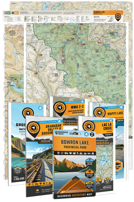
Prêt à prendre la route et à profiter d'une nuit sous les étoiles dans l'arrière-pays du nord de l'Alberta ? Procurez-vous un exemplaire du nouveau Northern Alberta Backroad Mapbook, téléchargez notre application Backroad Maps pour IOS et Android, ou consultez nos cartes GPS pour les produits Garmin.
L'aventure vous attend, profitez de l'arrière-pays et n'oubliez pas de partager et de nous taguer avec #brmblife.