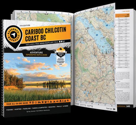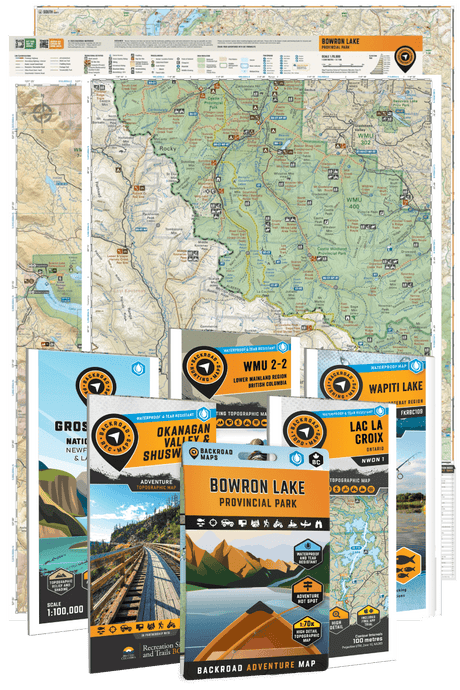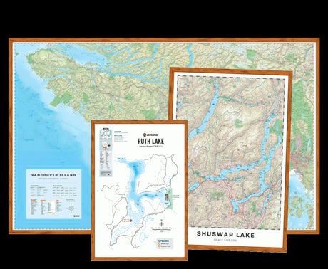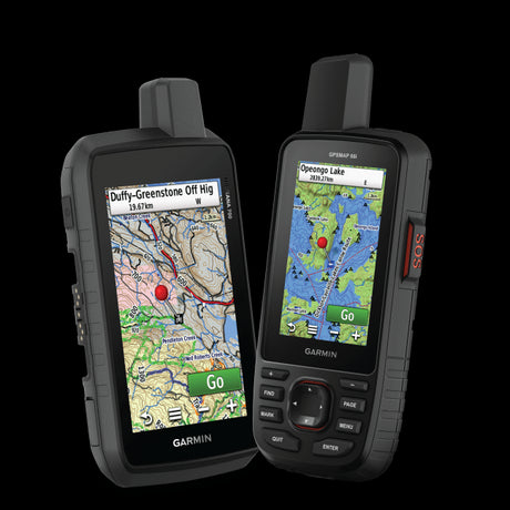
If you own a Garmin GPS, chances are it already came with maps. So why would you need to purchase additional GPS Maps?
It's a fair question, especially when modern Garmin outdoor devices include detailed topographic mapping, trails and navigation features right out of the box.
The answer comes down to what information you need when you're exploring Canada's backcountry.
Garmin's TopoActive maps provide a useful foundation for outdoor navigation. Backroad GPS Maps build on that experience with specialized Canadian mapping information, including extensive resource road networks, motorized trails, hunting areas, Crown land information and thousands of outdoor recreation features.
Here's how the two compare and when upgrading your Garmin's mapping makes sense.
What Are Garmin TopoActive Maps?

Image: Garmin Tread® 2, 6” Powersport Navigator
TopoActive is Garmin's outdoor mapping product, preloaded on many Garmin handheld GPS devices and available on other compatible units.
These maps use OpenStreetMap data to provide roads, walking paths, trails, waterways, terrain information and points of interest.
Depending on your Garmin model and map region, TopoActive may include:
- Routable roads, trails and walking paths
- Topographic contours and terrain information
- Lakes, rivers and other natural features
- Parks, land-use areas and points of interest
- Road and trail navigation for supported activities
For hiking, cycling and general outdoor exploration, TopoActive offers a solid starting point.
However, map detail varies by region. Remote forestry roads, lesser-known trails and specialized recreation information may not be as complete as you need for certain Canadian backcountry adventures.
What Are Backroad GPS Maps?

Backroad GPS Maps are Garmin-licensed maps developed specifically for exploring Canada's outdoors.
Built on more than 30 years of Canadian backcountry mapping experience, they bring the detailed road, trail, topographic and outdoor recreation information found in Backroad Mapbooks to compatible Garmin GPS devices.
The biggest difference is the emphasis on remote access and recreation-specific mapping.
1. More Detailed Backroad and Resource Road Coverage
For many Canadian outdoor enthusiasts, the adventure starts where the pavement ends.
Backroad GPS Maps include extensive coverage of forest service roads, logging roads, industrial roads, secondary roads and remote access routes.
These are particularly useful when exploring the forests of British Columbia, travelling through Alberta's resource road networks or trying to reach a remote lake, campsite or hunting area.
TopoActive can display unpaved roads and forestry routes that are included in OpenStreetMap. Backroad GPS Maps offer an additional source of Canadian road information, with road classifications and backcountry details developed for remote travel.
Why it matters: More mapping information can help you identify possible access routes, junctions and connections before heading into unfamiliar territory.
Remember that a road appearing on either map doesn't guarantee it's open, maintained, passable or legally accessible.

2. ATV, Snowmobile and Multi-Use Trails
Not all trails are designed for the same activities.
Backroad GPS Maps distinguish between different types of routes, including ATV, snowmobile, multi-use, paddling and other recreational trails.
Depending on the region, you'll also find trailheads, staging areas and associated recreation information to help with trip planning.
This can be especially valuable for ATV riders navigating unfamiliar trail networks or snowmobilers travelling between staging areas and remote destinations.
Garmin's preloaded mapping may already include some of these trails. Certain Garmin Tread devices also provide dedicated powersports and snowmobile mapping.
The advantage of Backroad GPS Maps is access to another detailed Canadian recreation dataset, rather than simply adding trails to a device that has none.

3. Crown Land, Private Land and Hunting Information
For hunters and backcountry explorers, knowing where you are is only part of the picture. Understanding the surrounding land is just as important.
Backroad GPS Maps include Crown and private land information, along with hunting management areas and other land-use details where available.
This helps when scouting unfamiliar regions, researching possible access routes or navigating around hunting management boundaries.
Some Garmin products and additional map subscriptions also provide land and hunting information, so available features depend on your device and installed maps.
Important: Mapping information is a planning reference, not proof of legal access. Always verify current property boundaries, hunting regulations, seasonal restrictions and land-use permissions with official provincial sources.

4. Thousands of Outdoor Recreation Points of Interest
Backroad GPS Maps go beyond roads and trails to help you discover places worth visiting along the way.
Depending on the title and region, they include information such as:
- Campgrounds, backcountry campsites and huts
- Fishing lakes, rivers and streams
- Boat launches and paddling access points
- Parks, conservation areas and recreation sites
- Trailheads, staging areas and viewpoints
- Resource and industry features
Many locations also include searchable information to make planning easier on compatible Garmin devices or through Garmin BaseCamp.
Whether you're planning a multi-day ATV trip or searching for a new fishing destination, having this information available alongside your GPS navigation can be useful.
Garmin TopoActive vs Backroad GPS Maps: Feature Comparison
| Feature | Garmin TopoActive | Backroad GPS Maps |
|---|---|---|
| General roads and trails | Yes | Yes |
| Topographic and terrain information | Yes, varies by region | Yes |
| Remote resource and logging road coverage | OpenStreetMap-based coverage | Specialized Canadian coverage |
| ATV and snowmobile trails | Varies by map and device | Dedicated trail information |
| Crown and private land details | Varies by Garmin product and map layers | Included where available |
| Hunting management information | May require additional map products | Included where available |
| Outdoor recreation points of interest | General outdoor and local POIs | Extensive Canadian recreation POIs |
| Works without cell service | Yes | Yes |
| Additional purchase required | Often preloaded | Yes |
The best way to evaluate the difference is to compare the same location on both maps. Coverage varies, and neither mapping product contains every trail, road or land feature.
What's New in Backroad GPS Maps Version 2027?
The latest Version 2027 release brings updated mapping information to British Columbia, Alberta, Saskatchewan and Manitoba.
Updates include expanded road networks, ATV and snowmobile trail coverage, new access points, updated geographic information and thousands of additional recreation and resource features.
Some regional highlights include:
- British Columbia: More than 13,000 km of newly added roads and over 7,500 km of added or updated trails and routes.
- Alberta: Nearly 23,250 km of new roads and more than 4,400 km of added or updated trails and routes.
- Saskatchewan: More than 2,000 km of added trails and routes, plus thousands of recreation and geographic features.
- Manitoba: More than 5,300 km of added trails and routes, including multi-use, paddling and snowmobile routes.
You can explore the full regional breakdown in our Western Canada V2027 GPS Maps announcement.
Do Backroad GPS Maps Work on My Garmin?
Backroad GPS Maps work with many Garmin outdoor and vehicle GPS devices, including select models in the Montana, GPSMAP, eTrex, Oregon and Tread families.
Compatibility depends on the exact model, software and map format, so it's worth checking before purchasing.
There are two ways to get started:
Plug & Play microSD Card: Insert the preloaded card into a compatible Garmin GPS. No computer is required for the initial installation.
Digital Download: Download and install your maps using Garmin BaseCamp. This option offers more flexibility for compatible devices and map combinations.
Both formats contain the same Backroad Maps mapping data.
For more information, see our Garmin GPS Compatibility Guide and Digital Download vs Plug & Play Guide.
Are Backroad GPS Maps Worth It?
That depends on how you use your Garmin.
If you mostly stick to highways, popular hiking routes and well-known destinations, your Garmin's preloaded maps may already provide everything you need.
But if you regularly explore logging roads, hunt in unfamiliar areas, ride remote ATV or snowmobile trails, or travel through Canada's backcountry for work, specialized mapping information can make a meaningful difference.
Backroad GPS Maps are particularly useful for people who want more Canadian road, trail and recreation information available directly on their Garmin, without relying on cellular coverage.
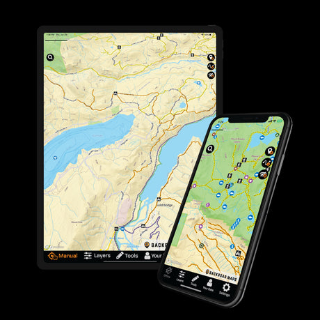
Prefer navigating with your phone? The BRMB Maps app is also a good option, offering detailed outdoor mapping, trip planning and downloadable maps for offline use.

Explore More of Canada with Your Garmin
Your Garmin provides the navigation hardware. The maps determine what information you have available when planning and exploring.
With detailed Canadian backroads, trails, topography, land information and recreation features, Backroad GPS Maps help you get more out of your compatible Garmin device.
Explore Backroad GPS Maps for Garmin
Frequently Asked Questions
Do Garmin GPS devices already include topographic maps?
Many modern Garmin outdoor units include TopoActive maps or other topographic mapping. Included coverage and features vary by model and region.
Do Backroad GPS Maps replace Garmin TopoActive?
They provide an additional mapping option for compatible Garmin devices. Map selection and display options depend on the device, and you may be able to switch between installed map products.
Do Backroad GPS Maps require cell service?
No. Once properly installed, the maps are stored on your Garmin GPS and can be used without cellular coverage.
Can I use Backroad GPS Maps for hunting?
Yes. They include hunting-related mapping information such as management areas, access roads and land information where available. Always verify current regulations and legal access independently.