
Great maps
"Great maps"



✔️ Best for: hunting, ATVing, snowmobiling, overlanding, remote fishing trips and backcountry exploring.
PLUG & PLAY MicroSD Card
DIGITAL LICENSE
Scale: Dynamic Scale
Version:
Covering these GPS Maps are the most detailed, comprehensive and up-to-date GPS maps available on the market.
Includes free access to the BRMB Maps smartphone App and Web Map. (limited time)

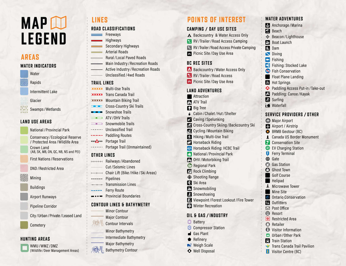
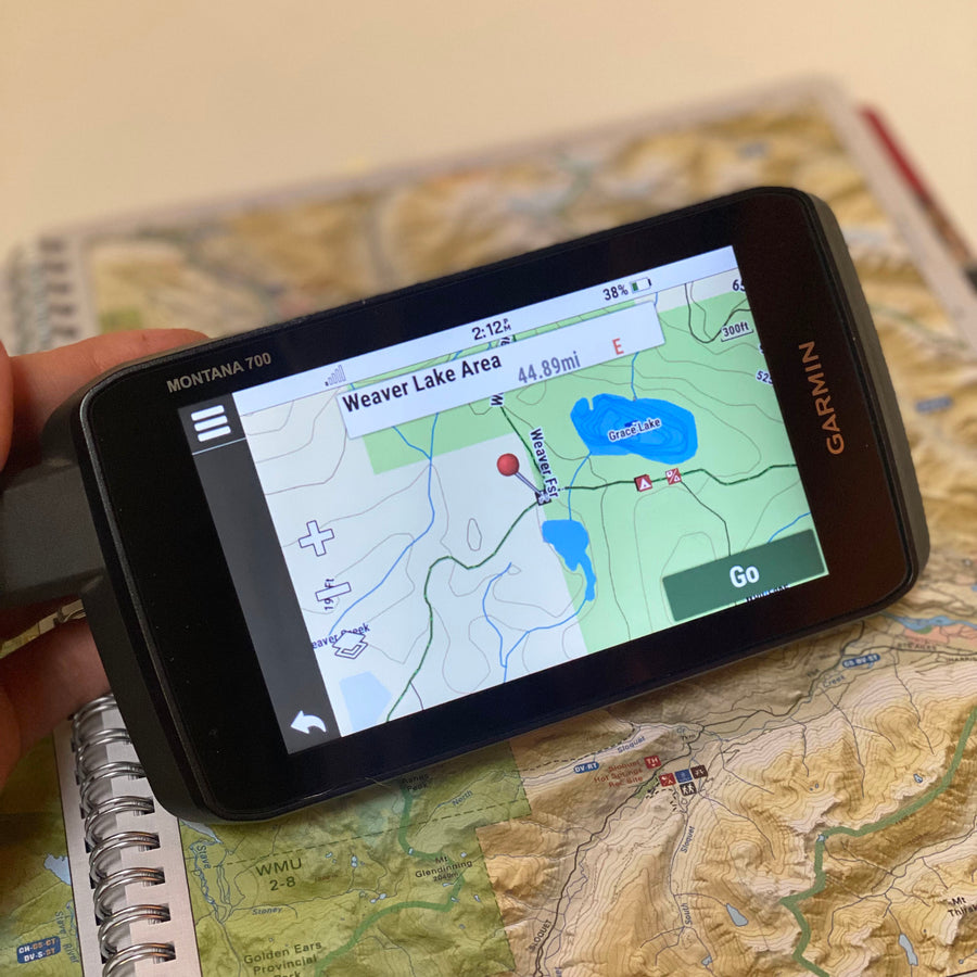
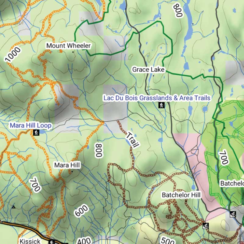
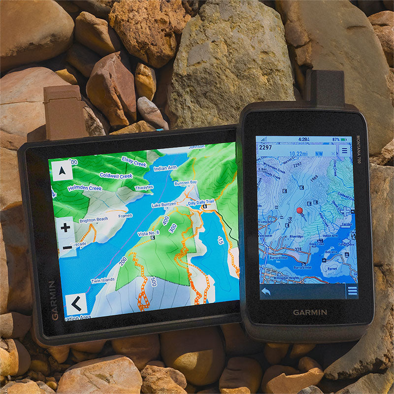
Get detailed backcountry maps for your Garmin GPS, covering areas that regular road maps miss. Explore remote backroads, ATV and snowmobile trails, hunting zones, and Crown and Private land.
Forest service roads, resource roads, topography, Crown and private land information.
ATV and snowmobile routes, hunting areas, fishing lakes, campsites and outdoor points of interest.
Offline maps stored on your Garmin, ready to use without cell service or phone battery concerns.
Terre d’origine de certaines des plus anciennes communautés du pays et riche d’une tradition d’amour du plein air, le Canada atlantique est une région regorgeant de possibilités d’aventure. Au Nouveau-Brunswick, des forêts luxuriantes sont sillonnées par des rivières où abondent les saumons. De l’autre côté de la baie de Fundy, qui abrite les plus hautes marées du monde, la Nouvelle-Écosse conserve un mélange unique de patrimoine gaélique et acadien, l’île du Cap-Breton attirant les explorateurs de plein air de toutes sortes dans ses vastes et époustouflantes étendues sauvages. À quelques minutes en ferry, l’Île-du-Prince-Édouard déborde de charme rural et offre certaines des plus belles plages de la côte est. Plus à l’est, Terre-Neuve abrite des villages de pêcheurs centenaires qui parsèment sa côte accidentée, tandis que les fjords du Labrador offrent des paysages inégalés à ceux qui prennent le temps de les visiter. Quelle que soit la partie du Canada atlantique que vous explorez, vous pouvez compter sur nos cartes GPS pour vous maintenir orienté et sur la bonne voie.
Backroad Extras are where you find all the POI information specific to our Backroad GPS Maps.
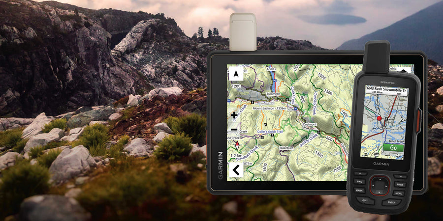
Our Backroad GPS Maps are designed to be compatible with most Garmin GPS Vehicle or Outdoor models made in 2012 and later that accept SD or Micro-SD cards.
However, it’s important to note that some units may experience issues with display or feature availability, depending on the model version.
You can check if your unit is compatible here.
Map Format
Overall rating: 3.625 / 5 from 8 reviews.
Review topics: [].
"Great maps"
"I've been using Backroad maps for years, so when I bought a new GPS, I thought about just moving the SD card over to it. But I also planned to use my old GPS on my Quad, and I didn't like the idea of needing to move the SD card back and forth between units. So I went online to buy a new card for my new GPS, only to find that I would be charged $10 for standard canada post delivery, for a tiny SD card. No thanks. If I can find a card in a retail outlet, maybe I'll buy it. If not, I'll stick with what I have."
"No really updates for new brunswick back roads that I seen for my area around Canterbury area. If you already have the maps no need to update as it doesn't show any of the new roads"
"I have a garmin tread 2 and it says it can’t download."
"Great product 👌 have the Ontario one as well ! Cant wait for our trip to be able to use it and its features."
"I use the Atlantic Canada map set and these are great for tons of outdoor activities. What is even better is the support I was provided when I ran into a problem. My MicroSD card stopped working and became blank. I contacted Backroad-Maps and they provided me with a replacement file set to download to rebuild my MicroSD card from scratch. All in under 24h."
"When I switch to Your Topo map. setting on my Garmin the drive assists like school zones and speed signs don't show up."
"I have been using BRMs for off-roading for several years and they are very good for that activity."
Showing articles tagged “How to Guides”


Scale
Area
Dimensions
Pages
Release
Features
Type
Format