September 19, 2026
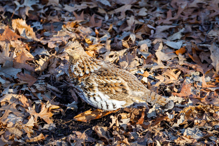
Grouse Hunting in Ontario: Seasons, Limits & Where to Find Birds (2026 Guide)
Ruffed grouse is open in all 95 of Ontario's wildlife management units, needs no tag or draw, and the whole season costs a resident $31.3...



Couldn't load pickup availability
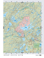
Map Scale: Created at
Note: In case of multiple options, the actual map scale will vary depending on the wall map size you choose.
Dimensions: 61 x 94 cm/24 x 37 inches
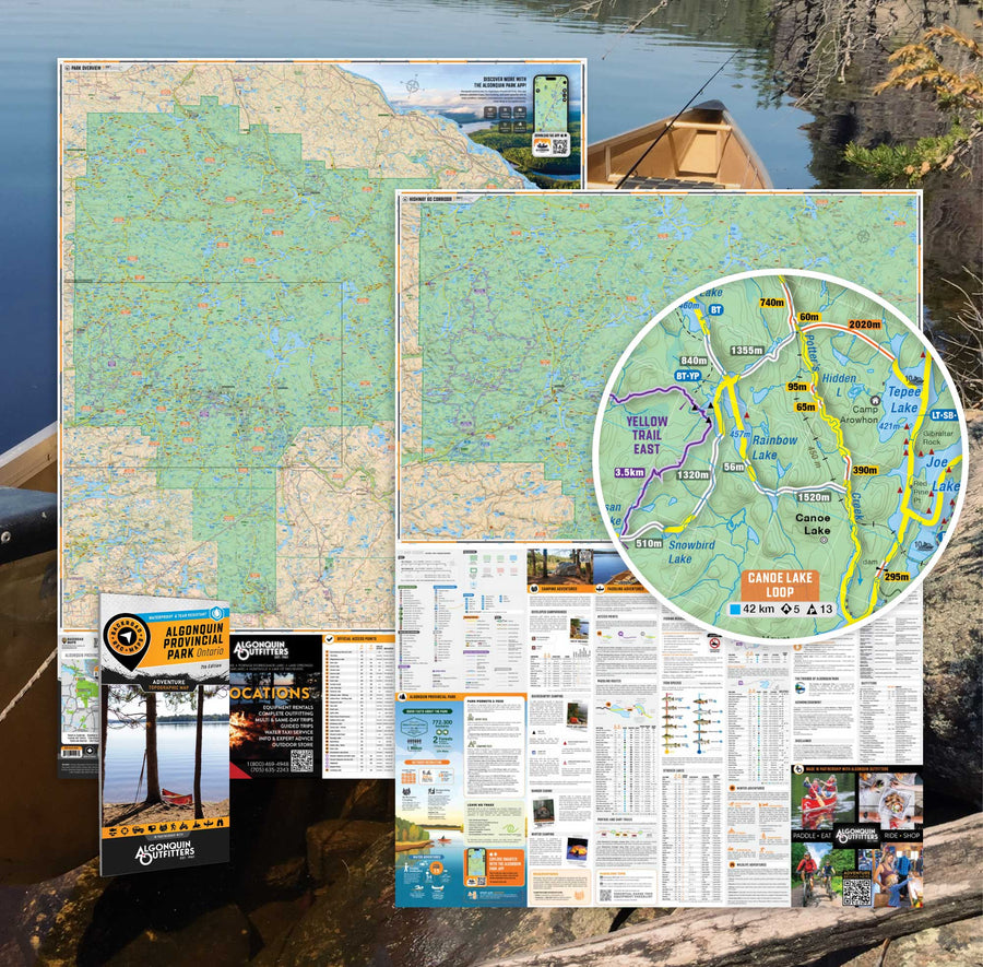
This map includes
Want the whole book?
Get the whole book in one easily downloadable format from here: Shop Map Bundles
Only interested in one or two maps?
Get the individual TOPO PDF Maps from here: Shop Individual Maps

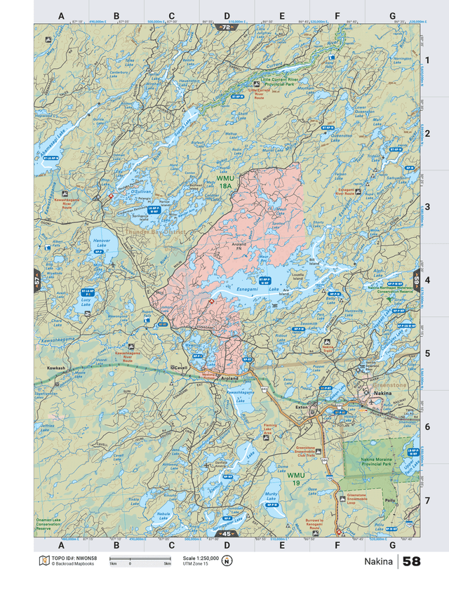
The TOPO Maps series lets you select any map from our Backroad Mapbooks collection, enlarged for a clearer and more detailed view of your area. These High-Detail Maps feature industry-leading topographic relief, making them ideal for your hunting, paddling, hiking, or camping trips.
Each map measures 24” by 37” flat and folds to a compact 4.25” by 9.25”. Printed on a waterproof synthetic material for extra durability.
Starting at 1:50,000 scale with shaded relief and contour lines. Features UTM and Latitude/Longitude grid, along with a map location grid and scale bar for easy and accurate navigation.
Customizable map areas are available by request: contact us for special TOPO requests such as custom map areas, adding features or other customization requests at info@backroadmapbooks.com
Showing articles tagged “Ontario”
September 19, 2026
September 11, 2026
February 24, 2026
February 05, 2026
Scale
Area
Dimensions
Pages
Release
Features