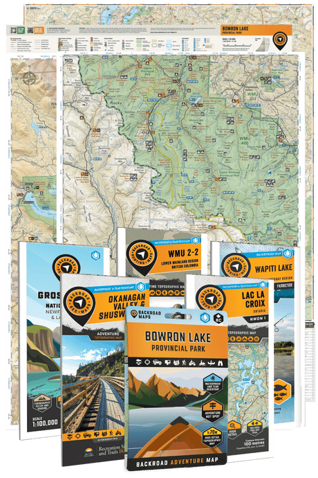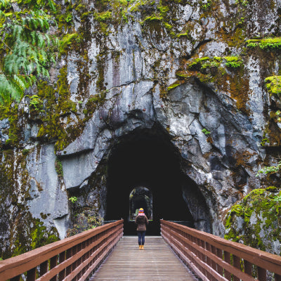
Fishing in Canada is an adventure like no other — from crystal-clear remote lakes to winding rivers tucked deep in the backcountry. But if you’re an angler who loves exploring these lesser-known waters, you know how challenging it can be to find reliable fishing info and navigation tools that actually work off the beaten path.
Sure, there are popular fishing apps like Fishbrain, iFish, and Navionics — but none are truly built for the Canadian wilderness like the Backroad Maps (BRMB Maps) app. Designed specifically for Canada’s vast backcountry, this app gives anglers a powerful edge, whether you’re targeting a hidden lake or planning a multi-day fishing trip.
Here’s why BRMB Maps stands out as the ultimate fishing app for Canadian anglers:
1. Detailed Coverage of Remote Lakes, Rivers, and Creeks
Most fishing apps focus on well-known, easily accessible spots. BRMB Maps goes further — covering thousands of remote and unnamed lakes, rivers, and creeks. If you want to fish where few have cast a line before, this app guides you there.

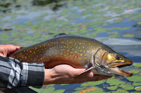
2. Know Exactly What You’re Fishing For
Wondering what fish species you can catch? BRMB Maps uses provincial stocking data and local knowledge to list fish species for each waterbody. It also provides stocked lake details, fishing restrictions, sanctuaries, and seasonal regulations — helping you fish smart and avoid costly fines.

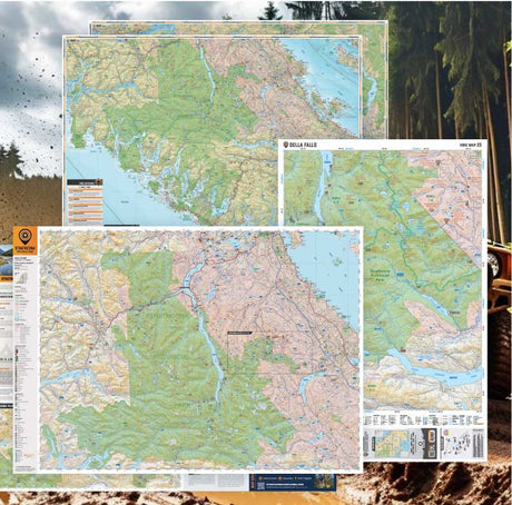
3. Navigate Roads, Trails and Routes
This app isn’t just about fishing spots — it maps every logging road, deactivated route, multi-use trail, portage, boat launch, dock, and more. You won’t get stuck wondering how to reach that hidden fishing hole.

4. Understand the Water with Lake Depth and Ocean Bathymetry
Success often comes down to knowing the underwater landscape. BRMB Maps shows lake depths and ocean bathymetry, revealing drop-offs, deep holes, shoals, and underwater structures where fish like to hide.

5. Reliable Offline Maps
Fishing deep in the backcountry means no cell signal. BRMB Maps lets you download maps and waypoints for offline use, so you’re never left navigating blind.

6. Saltwater Fishing Features
Saltwater anglers get access to ocean fishing hotspots, nautical charts, anchorages, boat launches, beaches, lighthouses and more — perfect for offshore trips along Canada’s coastlines.

7. Save Your Favourite Spots and Share Your Adventures
Drop pins, record tracks, and organize your fishing hotspots all in one place. You can even plan full backcountry trips with campgrounds, canoe routes, hiking trails, boat launches, and cabins integrated into the app. Add photos, write reviews, and update maps to share your adventures with other BRMB Maps users and contribute to making BRMB Maps even better for everyone!

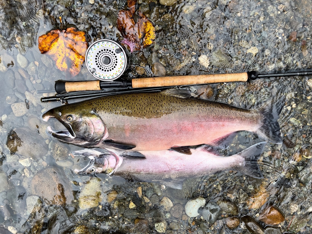
8. Exclusive Fishing Hotspot Details
BRMB Maps provides detailed write-ups for each fishing spot, including species, stocking information, fish zones, access roads, photos, reviews and techniques tailored to each location, offering insider tips you won’t find anywhere else.

9. Built by Canadians, for Canadians
Backroad Maps has been a trusted name in Canadian backcountry navigation for decades. Their maps are field-verified and designed specifically for the way Canadians explore the outdoors — ensuring you have reliable data no matter where you go.

If you’re sticking to city docks or popular bass tournaments, mainstream fishing apps might work fine. But if you’re heading off the grid — chasing trophy fish in Canada’s wild lakes and rivers — the BRMB Maps app is the tool you need. It’s more than just a fishing app; it’s your guide to true backcountry adventure.
Ready to fish where others don’t?
With detailed topographic maps, offline navigation, and thousands of adventure Points of Interest, BRMB Maps PRO is your go-to app for hiking, paddling, fishing, off-roading, and beyond.