
Very Happy With Purchase!
"We were very excited to find the exact map we were looking for. It arrived quickly and was well packaged. We had it framed and hung within minutes of its arrival. I would definitely purchase from them again!"

Impossible de charger la disponibilité pour le Service de retrait
Map Scale: Created at
Note: In case of multiple options, the actual map scale will vary depending on the wall map size you choose.
Dimensions: 3 options disponibles
This map includes
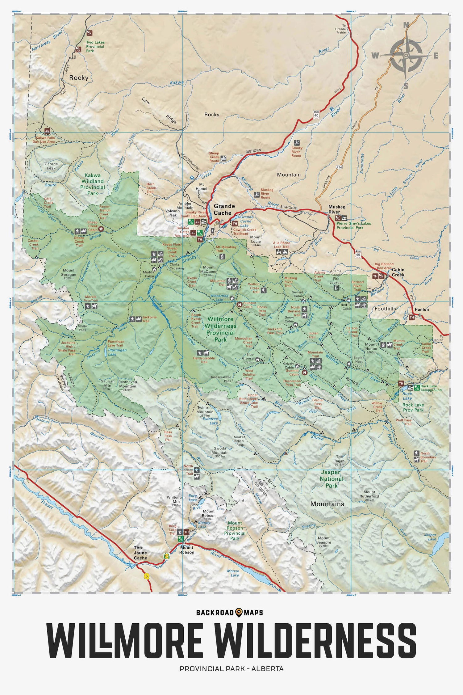
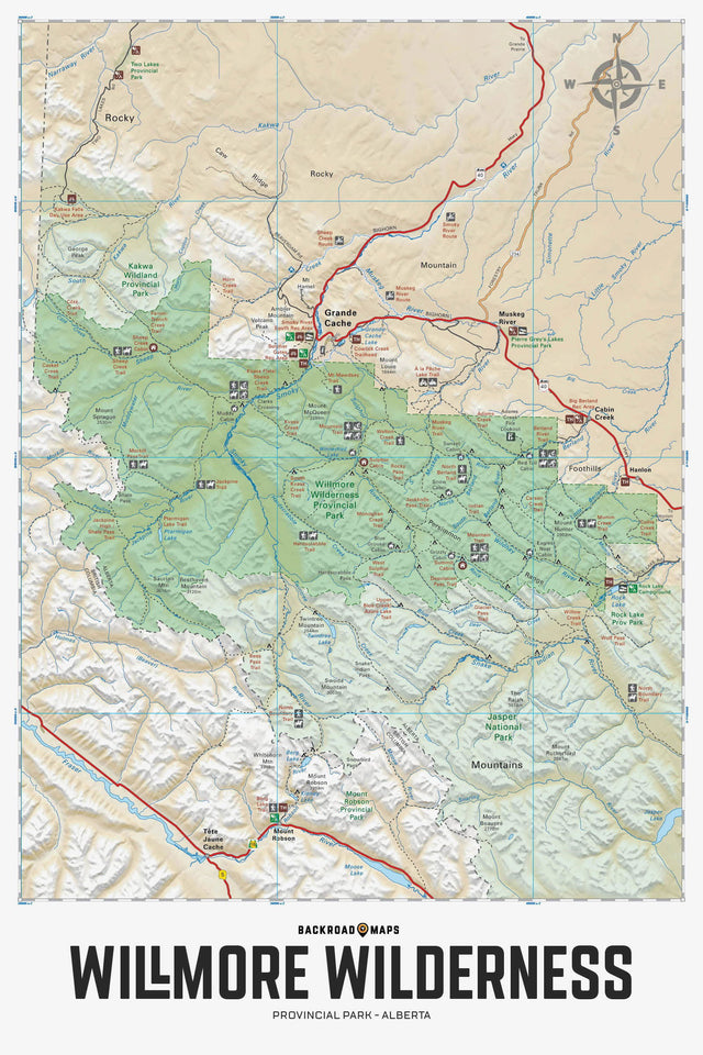
Offrant un aperçu détaillé du parc provincial sauvage Willmore en Alberta, cette carte récréative met en évidence toutes les routes d'accès et sentiers, les terrains de camping et emplacements de camping sauvage, les points de départ de sentiers et les zones récréatives remarquables, les grands lacs et réseaux hydrographiques, les zones environnantes et plus encore ! Utilisant des données hydrographiques et routières à l'échelle 1:50 000, cette carte présente un ombrage en relief topographique. La carte comprend le lac A la Peche, la rivière Berland, Grande Cache, le ruisseau Hardscrabble, le col Jackknife, la rivière Jackpine, le col Morkill, le sentier Mountain, le mont Mawdsey, la rivière Muddywater, la rivière Muskeg, le lac Ptarmigan, le lac Rock, le ruisseau Sheep, la rivière Smoky, Sulphur Gates, la rivière Sulphur, la montagne Twintree et plus encore !
The Wall Map version of this map features a minimal layout to display nicely to fit into common picture frame sizes so you can hang it on the cabin, home or workshop wall.
All maps come printed on waterproof synthetic material for extra durability.
Overall rating: 5.0 / 5 from 1 reviews.
Review topics: [].
"We were very excited to find the exact map we were looking for. It arrived quickly and was well packaged. We had it framed and hung within minutes of its arrival. I would definitely purchase from them again!"
Showing articles tagged “Alberta”
October 19, 2026
October 14, 2026
September 28, 2026
September 28, 2026
September 28, 2026
September 28, 2026
Scale
Area
Dimensions
Pages
Release
Features
Format