Discover the best outdoor maps for every corner of British Columbia. From the coastal rainforests of Vancouver Island to the rugged peaks of the Kootenay Rockies, Backroad Maps helps you explore BC like a local. Choose from guidebooks, folded maps, wall maps, GPS maps, and our mobile app. Perfect for hiking, camping, fishing, paddling, off-roading, and more.
Choose your BC Region: Vancouver Island | Vancouver, Coast & Mountains | Thompson Okanagan | Cariboo Chilcotin Coast | Kootenay Rockies | Northern BC


TOBC16 TOPO Map - Trepanier Park
$1995Unit price /Unavailable-
-
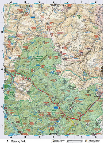
TOBC01 TOPO Map - Manning Park
$1995Unit price /Unavailable -
$1995Unit price /Unavailable
-
$1995Unit price /Unavailable
-
$1995Unit price /Unavailable
-
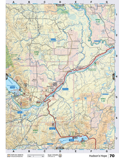
NOBC70 TOPO Map - Hudson's Hope
$1995Unit price /Unavailable -
$1995Unit price /Unavailable
-
$1995Unit price /Unavailable
-
$1995Unit price /Unavailable
-
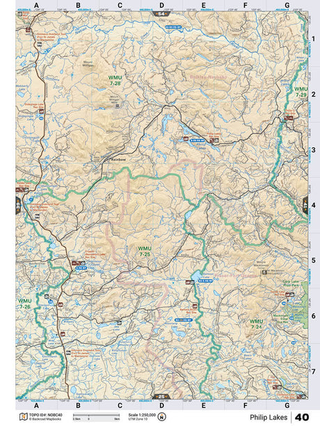
NOBC40 TOPO Map - Philip Lakes
$1995Unit price /Unavailable -
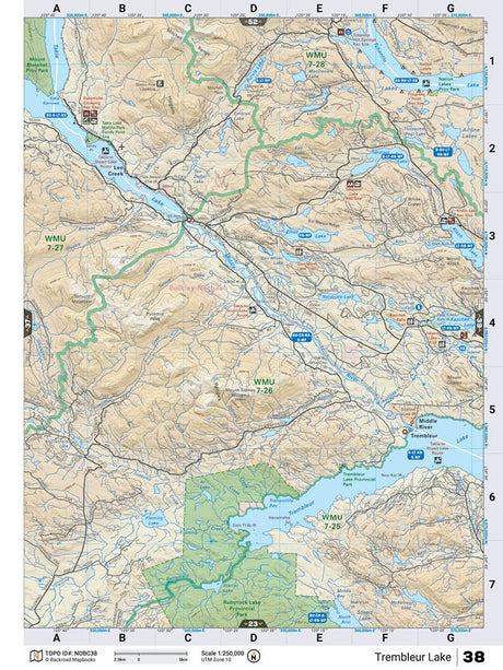
NOBC38 TOPO Map - Trembleur Lake
$1995Unit price /Unavailable -
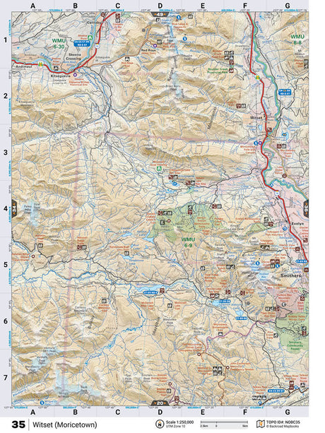
NOBC35 TOPO Map - Witset (Moricetown)
$1995Unit price /Unavailable -
$1995Unit price /Unavailable
-
$1995Unit price /Unavailable