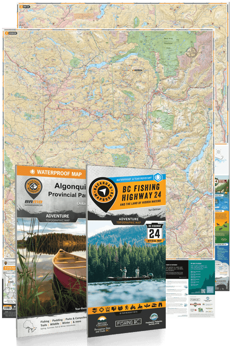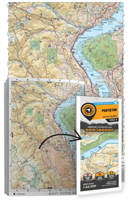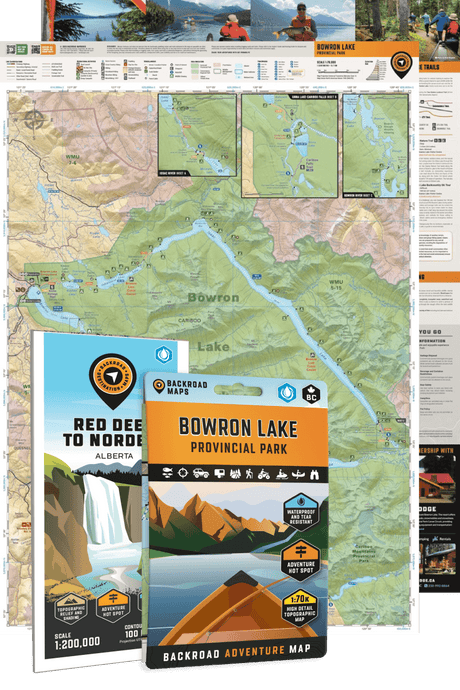
Discover the best outdoor maps for every corner of British Columbia. From the coastal rainforests of Vancouver Island to the rugged peaks of the Kootenay Rockies, Backroad Maps helps you explore BC like a local. Choose from guidebooks, folded maps, wall maps, GPS maps, and our mobile app. Perfect for hiking, camping, fishing, paddling, off-roading, and more.
Choose your BC Region: Vancouver Island | Vancouver, Coast & Mountains | Thompson Okanagan | Cariboo Chilcotin Coast | Kootenay Rockies | Northern BC

 $1995Unit price /Unavailable
-
$1995Unit price /Unavailable
-
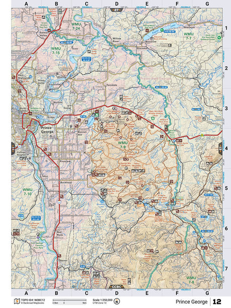
NOBC12 TOPO Map - Prince George
$1995Unit price /Unavailable -
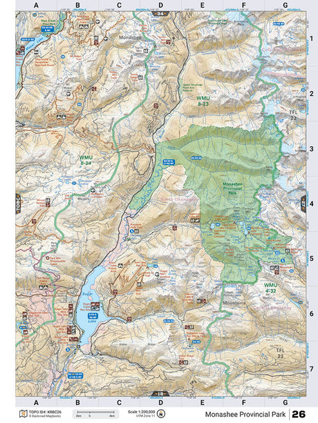
KRBC26 TOPO Map - Monashee Provincial Park
$1995Unit price /Unavailable -
-
$1995Unit price /Unavailable
-
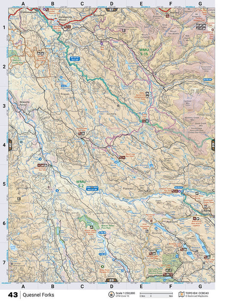
CCBC43 TOPO Map - Quesnel Forks
$1995Unit price /Unavailable 
 First Edition
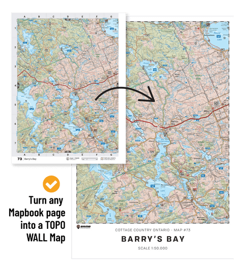
Kootenays BC Mapbook First Edition
$5000Unit price /Unavailable-
First Edition
Kamloops–Okanagan BC Mapbook First Edition
$5000Unit price /Unavailable 
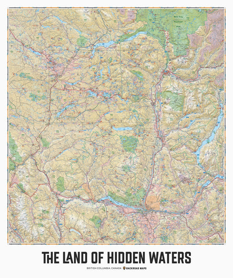
The Land of Hidden Waters, BC - Wall Map
From $9995Unit price /Unavailable

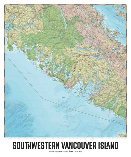
Southwestern Vancouver Island, BC - Wall Map
From $9995Unit price /Unavailable-
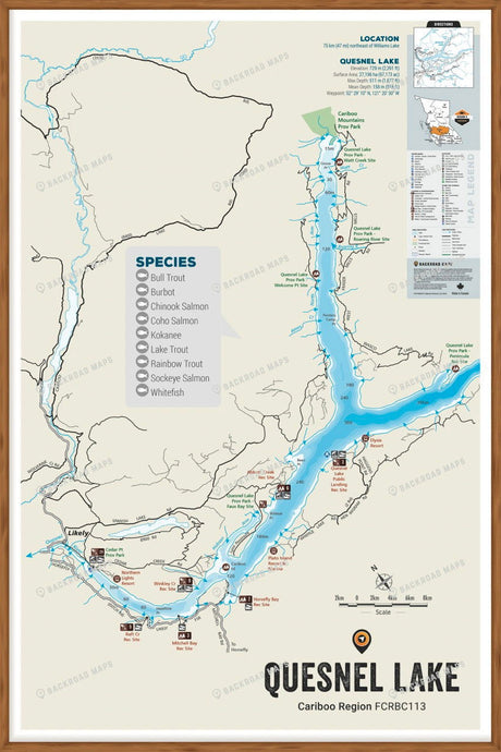
FCRBC113 Quesnel Lake - Wall Map
$5995Unit price /Unavailable -
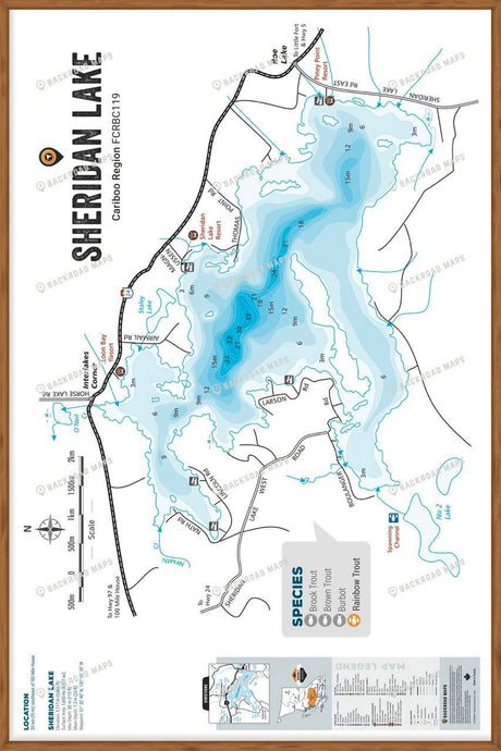
FCRBC119 Sheridan Lake - Wall Map
$5995Unit price /Unavailable -
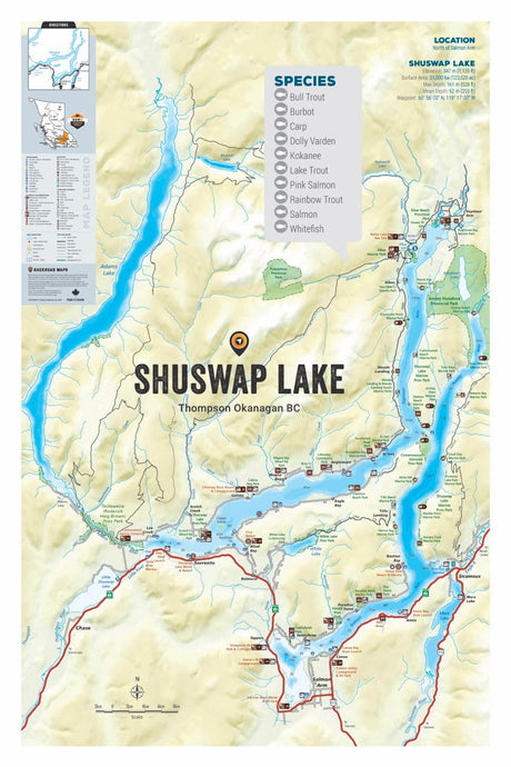
FTOBC181 Shuswap Lake - Wall Map
$5995Unit price /Unavailable -
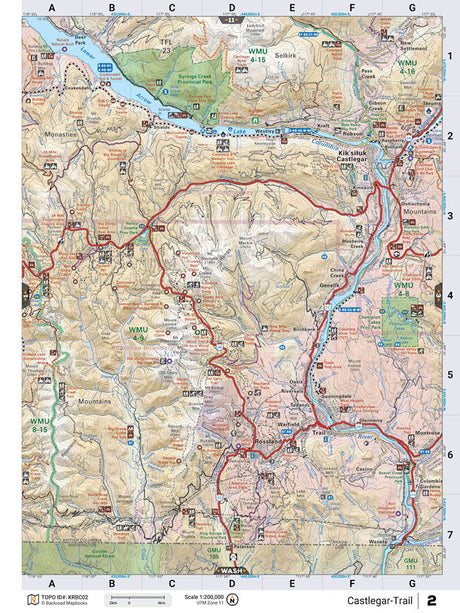
KRBC02 Wall Map - Castlegar-Trail
From $4995Unit price /Unavailable